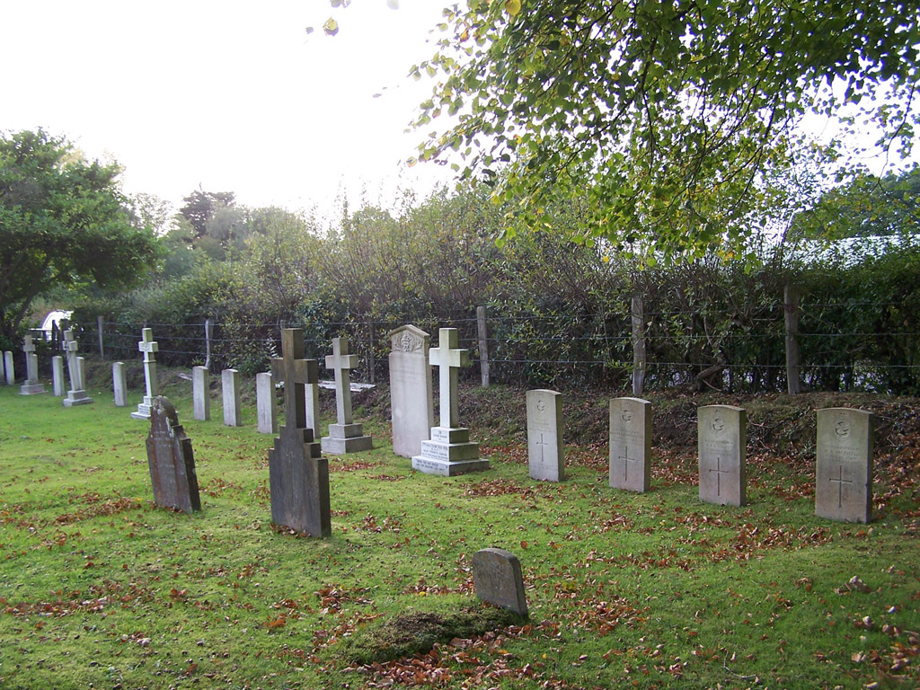
East Boldre (St. Paul) Churchyard
- Country United Kingdom
- Total identified casualties 21 Find these casualties
- Region Hampshire
- Identified casualties from First & Second World War
- GPS Coordinates Latitude: 50.80146, Longitude: -1.46951
History information
The churchyard contains a plot of twenty 1914-18 War Graves, including five R.F.C. and 14 R.A.F., plus one 1939-45 War grave. RFC/RAF Beaulieu (a flying training school) was based at East Boldre between November 1915 and 1919.