Courriere Churchyard
- Country Belgium
- Total identified casualties 1 Find these casualties
- Region Namur
- Identified casualties from Second World War
- GPS Coordinates Latitude: 50.37826, Longitude: 4.98476
Location information
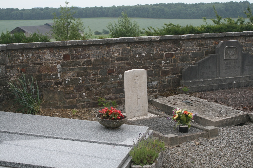
The village of Courriere is located north-east of the town of Ciney off the E411/A4. From the motorway E411/A4 which runs between Namur and Luxembourg turn off at junction 18 onto the N4 direction Assesse. Take the first turning off from the N4 direction Courriere, cross over the motorway and turn first left into rue Batis de Corere, at the end of this road turn right and the church is on the right hand corner. The grave is located to the left of the entrance a little way in.
History information
The British Expeditionary Force was involved in the later stages of the defence of Belgium following the German invasion in May 1940, and suffered many casualties in covering the withdrawal to Dunkirk.
Courriere Churchyard contains the grave of one airman of the Second World War.