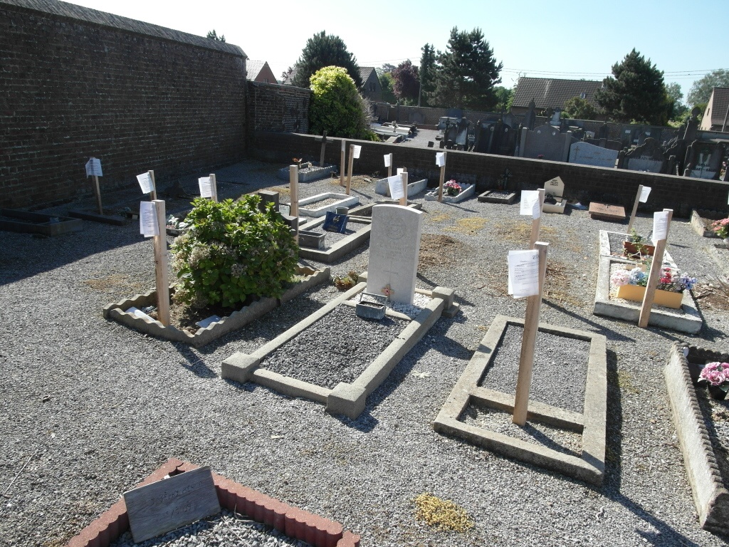
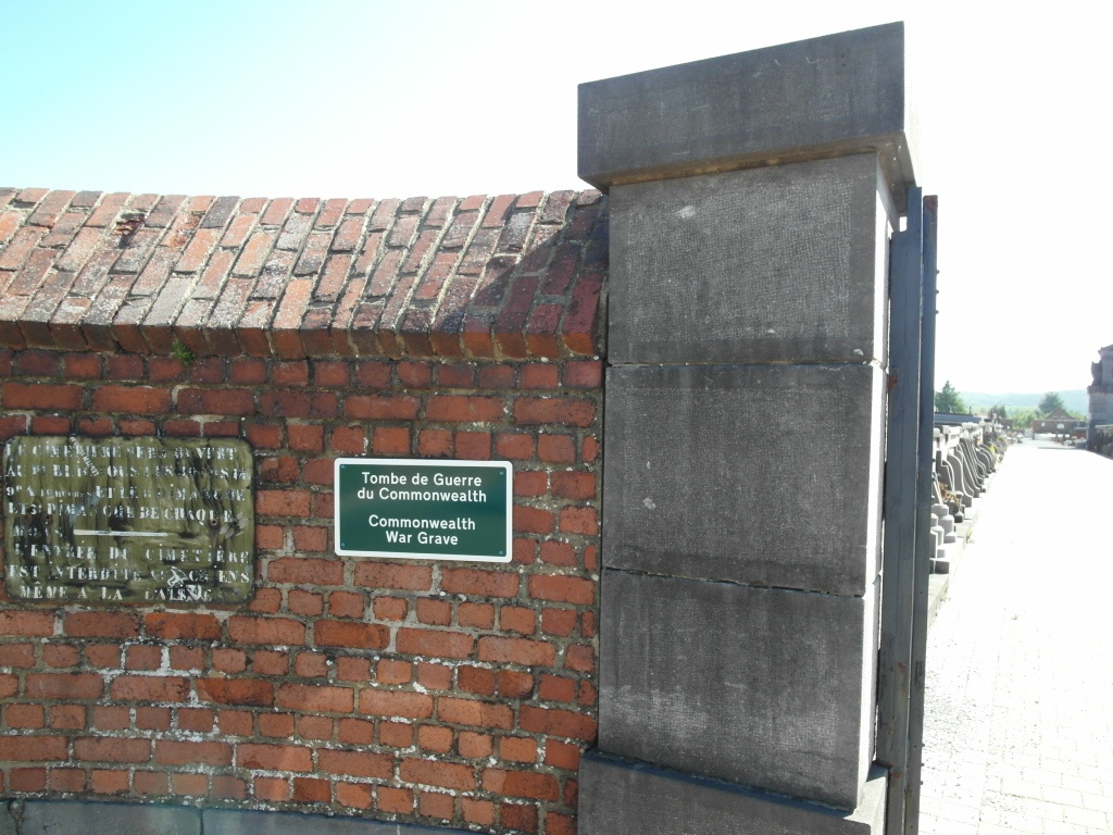
Jemeppe-Sur-Sambre Communal Cemetery
- Country Belgium
- Total identified casualties 1 Find these casualties
- Region Namur
- Identified casualties from Second World War
- GPS Coordinates Latitude: 50.46961, Longitude: 4.66698
Location information
The village of Jemeppe-sur-Sambre is located west of the town of Namur on the N912. From the motorway E42/A15 which runs between Mons and Liege turn off at junction 14 onto the N98 direction Sambreville. Follow the N98 to the junction with the N912, turn left onto the N912 direction Spy. Take the sixth turning on the right towards Jemeppe-sur-Sambre, this road is called chemin des Pelziats, carry straight on into rue du Cimetiere and the cemetery is along on the left. The grave is located in the far right hand corner.
History information
The British Expeditionary Force was involved in the later stages of the defence of Belgium following the German invasion in May 1940, and suffered many casualties in covering the withdrawal to Dunkirk. Commonwealth forces did not return until September 1944, but in the intervening years, many airmen were shot down or crashed in raids on strategic objectives in Belgium, or while returning from missions over Germany. Jemeppe-sur-Sambre Communal Cemetery contains the grave of one airman of the Second World War.