Mean Communal Cemetery
- Country Belgium
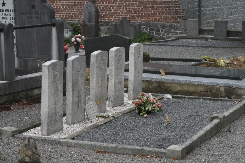
- Total identified casualties 5 Find these casualties
- Region Namur
- Identified casualties from Second World War
- GPS Coordinates Latitude: 50.36192, Longitude: 5.3342
Location information
The village of Mean is located north-east of the town of Ciney on the N63. From the motorway E42 which runs between Mons and Liege turn off at junction 7 onto the N64 direction Huy. Follow the N64 to Huy then join the N66 direction Tinlot, in Tinlot turn right onto the N63 direction Marche-en-Famenne. Follow the N63 to the junction with the N938 and turn right here direction Mean, the church is a short way along on the left and the cemetery is on the right opposite the church. The graves are located along the right hand path from the entrance on the left.
History information
The British Expeditionary Force was involved in the later stages of the defence of Belgium following the German invasion in May 1940, and suffered many casualties in covering the withdrawal to Dunkirk. Commonwealth forces did not return until September 1944, but in the intervening years, many airmen were shot down or crashed in raids on strategic objectives in Belgium, or while returning from missions over Germany.
Mean Communal Cemetery contains the graves of five airmen of the Second World War.