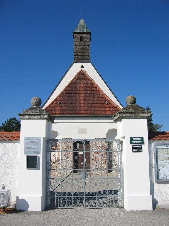
Oberschleissheim Churchyard
- Country Germany
- Total identified casualties 6 Find these casualties
- Region Bayern
- Identified casualties from Second World War
- GPS Coordinates Latitude: 48.23281, Longitude: 11.57692


Location information
Oberschleissheim is a town in South Germany approx 16kms North of Munchen (Munich). The Churchyard is located on the outskirts of the small village of Hochmutting, directly to the south of Oberschleissheim. From the A99 Munchen Motorway Ring Road take exit 12a (Ausfahrt 12a) MUNCHEN-NEUHERBERG / OBERSCHLEIBHEIM and follow direction to HOCHMUTTING. Continue along JAGERSTRABE for approx 300m then turn right onto MUNCHNER ALLEE, continue for approx 500m then turn left. The Churchyard can be found approx 100m down this road. The CWGC headstones are located on the left behind the Church. The cemetery address is:- Munchner Allee 85764 Oberschleissheim Germany GPS Location is:- N 48 13 58 E 11 34 37 Google Maps Link http://maps.google.co.uk/maps?q=48.232935,11.577659&t=h&sll=48.231891,11.583195
Visiting information
The opening hours of the churchyard are;
From April to end of August: 08:00 to 20:00hrs
From October to end of March: 08:00 to 18:00hrs
History information
This churchyard contains the graves of six Commonwealth airmen of the Second World War.