Hargnies Communal Cemetery, Nord
- Country France
- Total identified casualties 25 Find these casualties
- Region Nord
- Identified casualties from First World War
- GPS Coordinates Latitude: 50.25555, Longitude: 3.84935
Location information
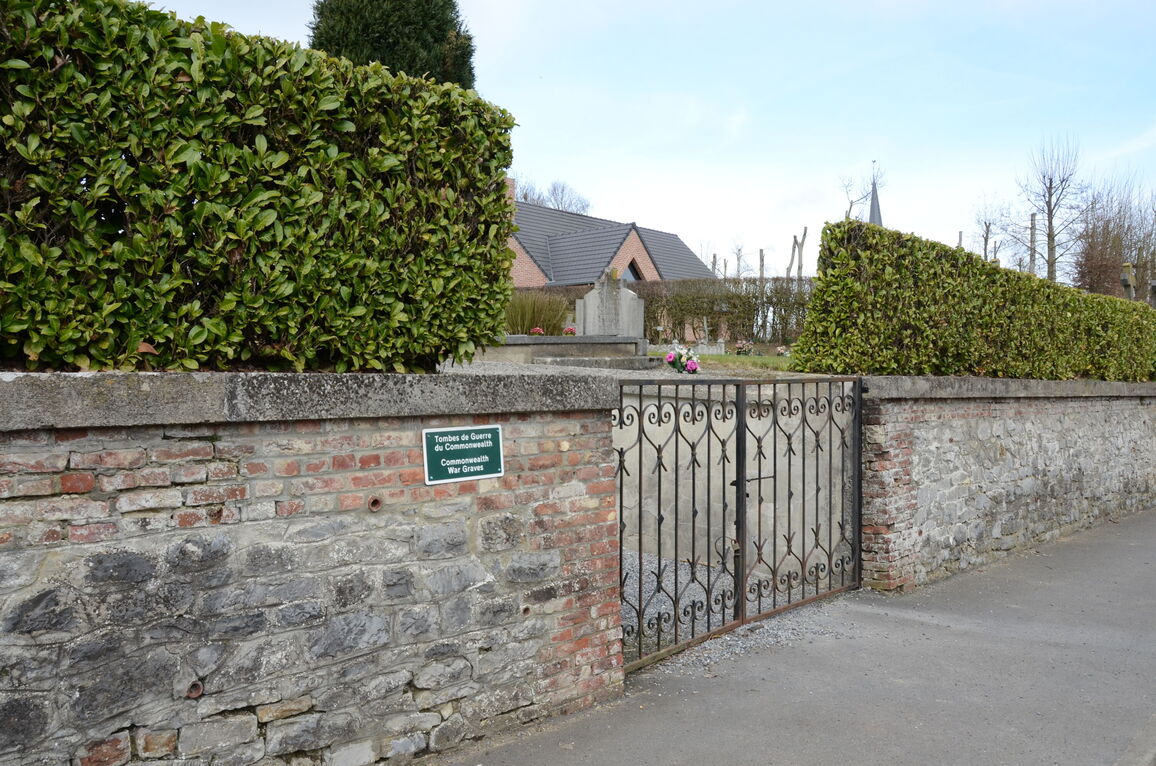
Hargnies is a small village some 30 kilometres south-east of Valenciennes. The village is south of the N49 road between Valenciennes and Maubeuge. From the N49 take the D117 south at La Longueville for 4 kilometres. The cemetery will be found on the right hand side of the road, and the Commission war graves plot is on the right hand boundary of the cemetery.
History information
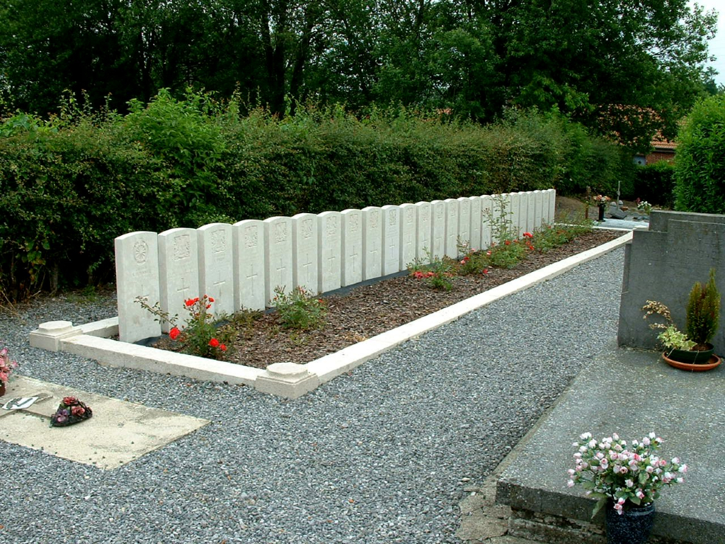
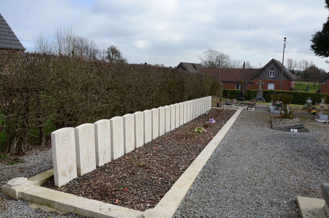
Hargnies Communal Cemetery is within the area traversed by the British Expeditionary Force in August 1914 but was then occupied by the Germans until almost the end of the war.
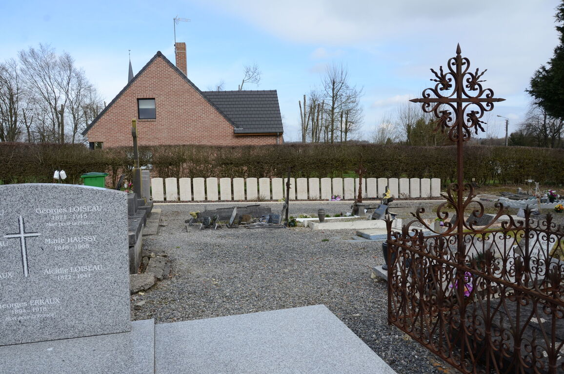
Hargies Communal Cemtery contains 25 Commonwealth burials of the First World War.