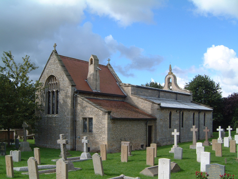
Cranwell (St. Andrew) Churchyard
- Country United Kingdom
- Total identified casualties 74 Find these casualties
- Region Lincolnshire
- Identified casualties from First & Second World War
- GPS Coordinates Latitude: 53.03683, Longitude: -0.46122
Location information
Cranwell is a village three miles north-west of Sleaford, west of the A15 to Lincoln along the B1429. The churchyard is on the north side of this main road through the village.
Visiting information
PLEASE NOTE, we have been advised (in August 2020) that the north wall of the churchyard is in danger of collapse. As a result, the CWGC has decided to remove the 18 headstones in the vicinity of the wall (mostly in Plot 3) into safe storage, until further notice. Please contact the CWGC Enquiries Section for further details.
History information
Cranwell has been a flying training centre since the First World War when the Admiralty requisitioned 2500 acres of the Earl of Bristol's estate in November 1915, to create the Royal Naval Air Service Central Training Depot. Since then the aerodrome has been taken over by the Royal Air Force and the RAF Staff College is at Cranwell.
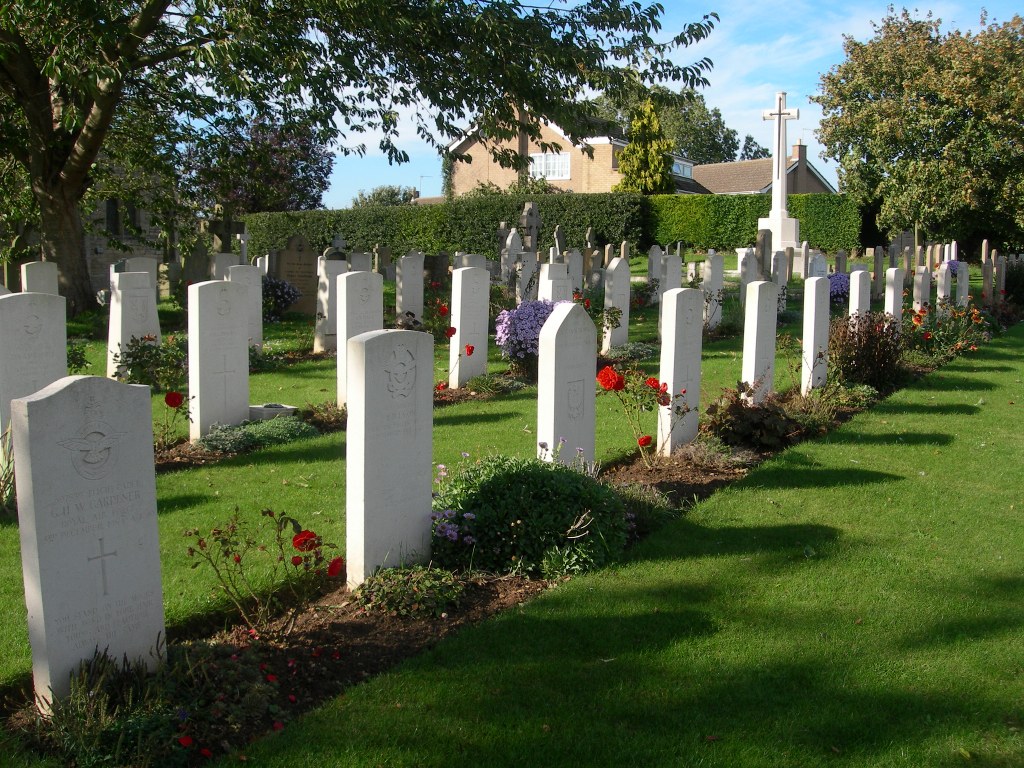
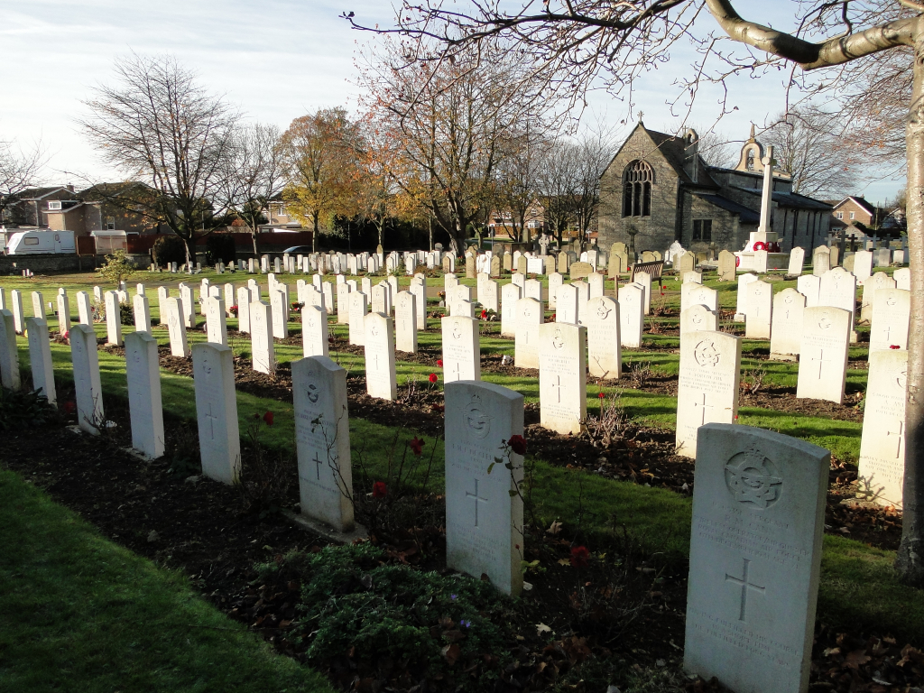
The graves of 25 First World War airmen will be found on the northern side of the church. The churchyard was used between the wars for RAF burials and during the Second World War the RAF plot, in the eastern part of the churchyard, was used for service burials not only from Cranwell RAF station but from others also, including Finningley and Binbrook.
Cranwell (St Andrew) Churchyard contains 25 Commonwealth burials of the First World War and 58 from the Second. There are also four Polish war graves.