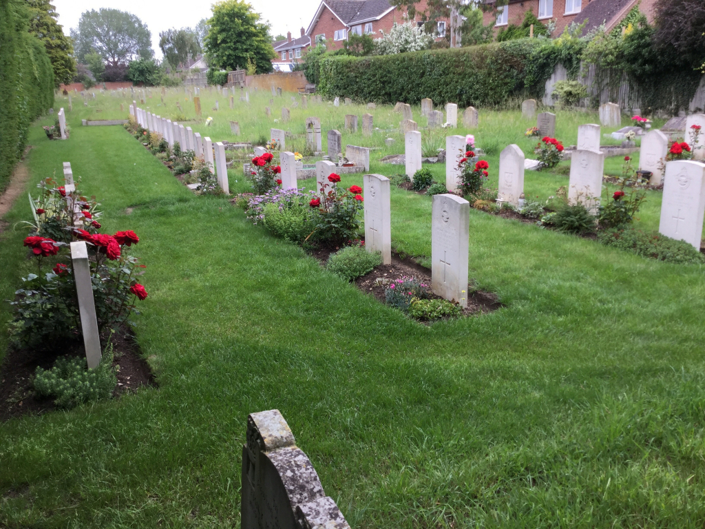
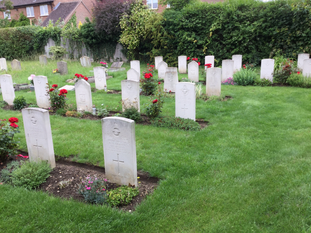
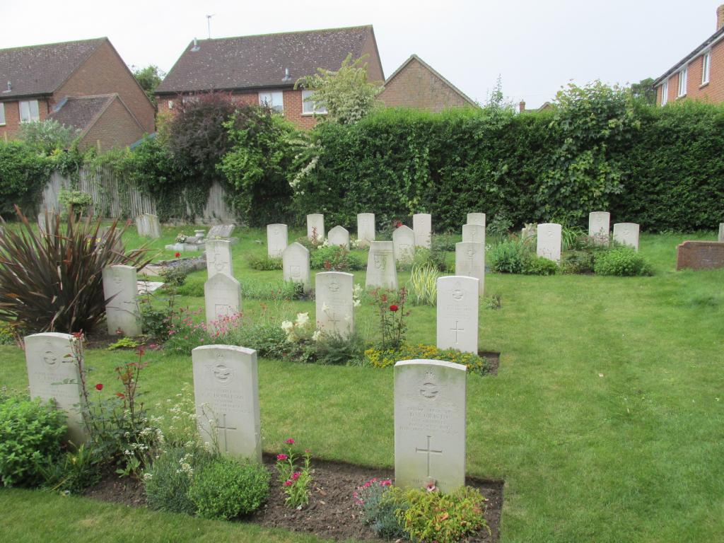
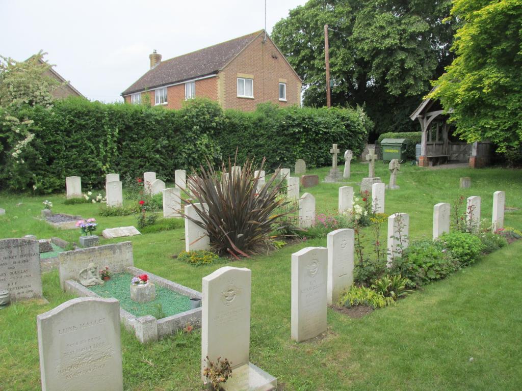
Benson (St. Helen) Churchyard Extension
- Country United Kingdom
- Total identified casualties 31 Find these casualties
- Region Oxfordshire
- Identified casualties from Second World War
- GPS Coordinates Latitude: 51.62014, Longitude: -1.11212
Location information
Benson, or Bensington, is a parish and village in the south-east of Oxfordshire with a lock on the river Thames. It is a mile and three quarters north-east of Wallingford (Berks.) During the 1939-1945 War the Royal Air Force Station at Benson used this burial ground, which is 3 miles by road from Wallingford railway station, on the opposite side of the road to the church and old churchyard.