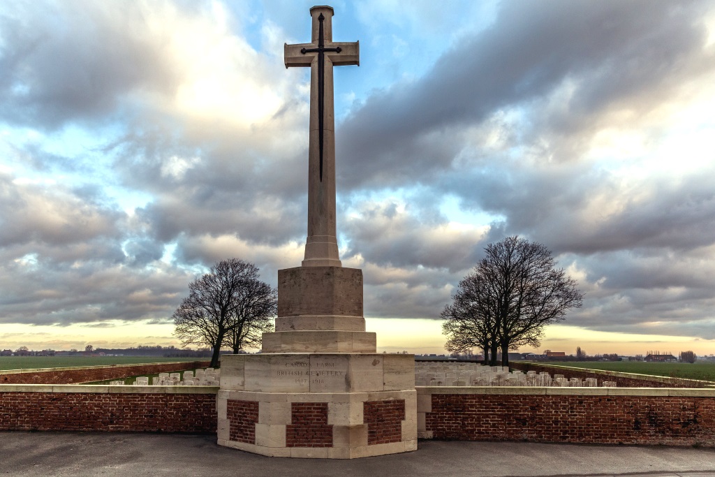
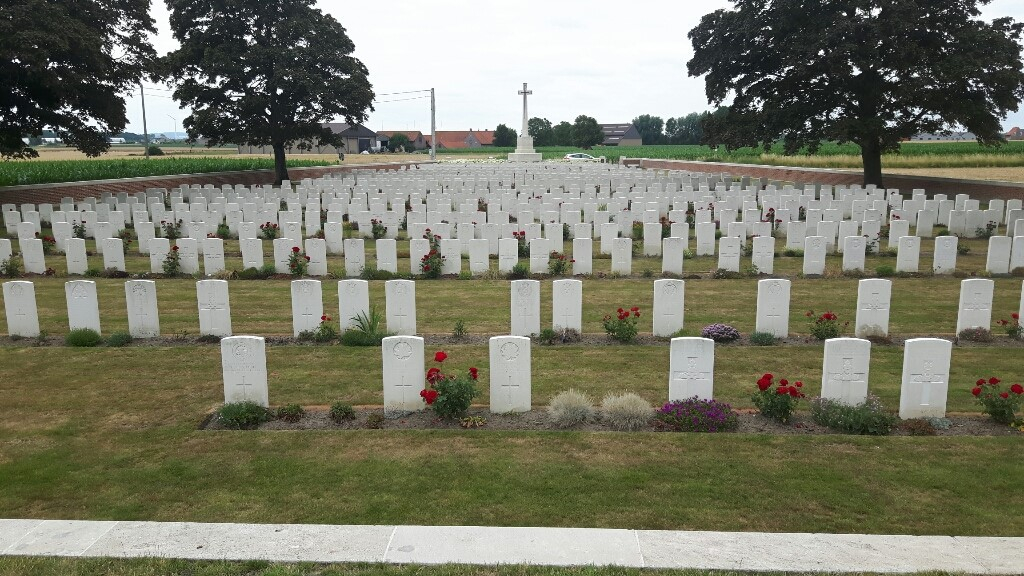
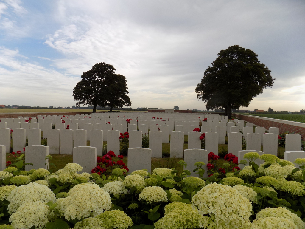
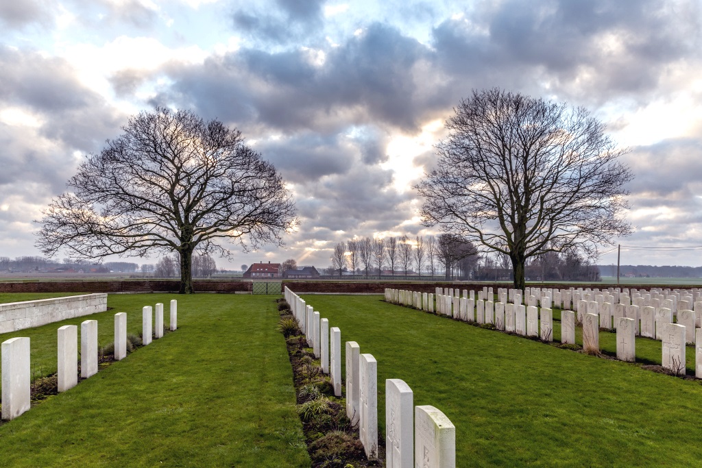
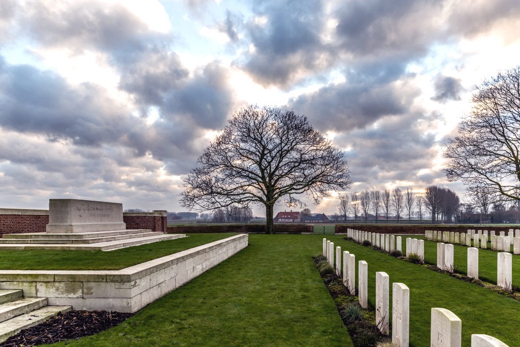
Canada Farm Cemetery
- Country Belgium
- Total identified casualties 909 Find these casualties
- Region West-Vlaanderen
- Identified casualties from First World War
- GPS Coordinates Latitude: 50.88803, Longitude: 2.78162
Location information
Canada Farm Cemetery is located 8.5 kilometres north-west of Ieper town centre, on the Elzendammestraat, a road leading from the Veurnseweg (N8) connecting Ieper to Elverdinge and on to Veurne. From Ieper town centre the Veurnseweg (N8) is reached via Elverdingsestraat, then turning right onto Haiglaan. Veurnseweg is a continuation of Haiglaan. On reaching the village of Elverdinge the Steentjesmolenstraat, N333, leads towards Poperinge. 2 kilometres along the Steentjesmolenstraat lies the right hand turning onto Elzendammestraat. The cemetery itself is located 1 kilometre along the Elzendammestraat on the right hand side of the road.
Visiting information
Wheelchair access to this cemetery is possible via main entrance.
For further information regarding wheelchair access, please contact our Enquiries Section on telephone number 01628 507200.
History information
Canada Farm Cemetery took its name from a farmhouse used as a dressing station during the 1917 Allied offensive on this front. Most of the burials are of men who died at the dressing station between June and October 1917. There are now 907 First World War burials in the cemetery. The cemetery was designed by Sir Reginald Blomfield.