Canada Farm Cemetery
- Country Belgium
- Total identified casualties 909 Find these casualties
- Region West-Vlaanderen
- Identified casualties from First World War
- GPS Coordinates Latitude: 50.88803, Longitude: 2.78162
Location information
Canada Farm Cemetery is located 8.5 kilometres north-west of Ieper town centre, on the Elzendammestraat, a road leading from the Veurnseweg (N8) connecting Ieper to Elverdinge and on to Veurne. From Ieper town centre the Veurnseweg (N8) is reached via Elverdingsestraat, then turning right onto Haiglaan. Veurnseweg is a continuation of Haiglaan. On reaching the village of Elverdinge the Steentjesmolenstraat, N333, leads towards Poperinge. 2 kilometres along the Steentjesmolenstraat lies the right hand turning onto Elzendammestraat. The cemetery itself is located 1 kilometre along the Elzendammestraat on the right hand side of the road.
Visiting information
ARRIVAL
The cemetery is at the side of a main road, Elzendammestraat, with farm tracks on either side of the road near the cemetery.
The route to the cemetery is signposted.
PARKING
The parking area is at the side of the main road, within 5 metres of the main entrance and has space for 2 vehicles along the perimeter wall at the front of the cemetery.
The ground is flat and firm with a tarmac surface and a footpath.
ACCESS, LAYOUT AND MAIN ENTRANCE
The main entrance is in the left-corner of the cemetery near the Cross of Sacrifice. A waist height, double metal gate, approximately one metre wide opens inwards into the cemetery. The right section is opened with a latched handle on the top of the gate. The left section is opened with a vertical handle near the ground. The external tarmac is level with the paving under the gate and inside the entrance. The paving is level with the grass inside the cemetery.
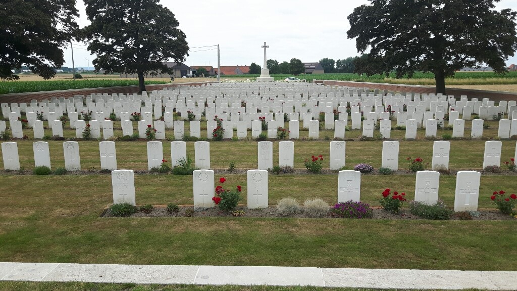
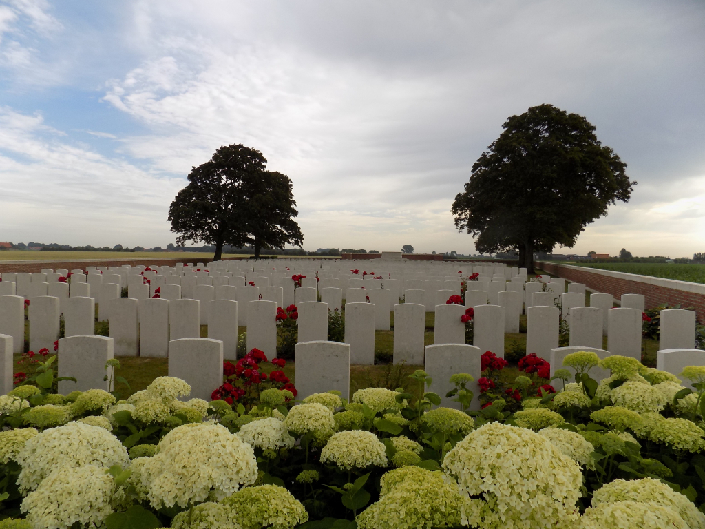
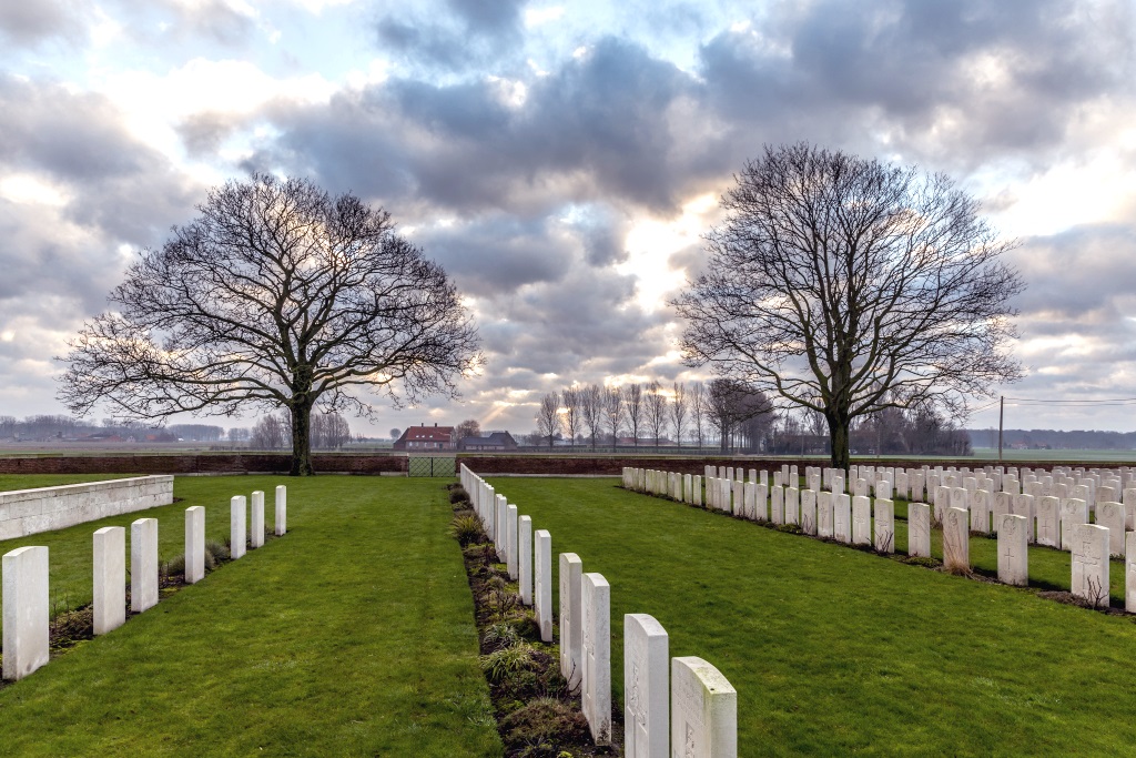
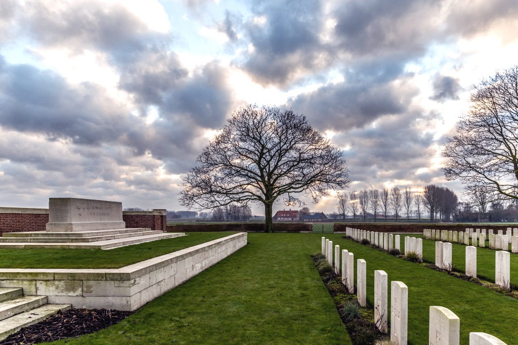
The cemetery is rectangular in shape, narrower along the front, and widens towards the rear of the site. The cemetery is surrounded by a brick and stone wall.
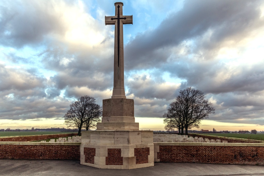
The Cross of Sacrifice is built into the boundary wall and protrudes onto the pavement and layby at the front of the cemetery.
The Stone of Remembrance is on a raised platform at the rear of the cemetery. There are 5 stone steps leading up to the platform from each side of the Stone of Remembrance. The front of the platform is approximately 600 mm higher than the cemetery level and is bound by a stone wall, flush with the top of the platform.
All internal cemetery paths are grass, the ground is firm and flat.
There is a visitor information sign in the left-hand corner of the cemetery, close to the main entrance on a stone plinth.
The Register Box is located inside the main entrance gate in the left side pillar facing the entrance from inside the cemetery.
ALTERNATIVE ACCESS
A farm track runs along the boundary wall on the right-hand side of the cemetery, approximately 85 metres from the main road.
At the rear right side of the cemetery along the track there is a double leaf, latched, 1.5-metre-wide, waist height black metal gate that opens into the cemetery. There is a small stone lip between the pacing directly under the gate and the internal paved area inside the cemetery. There is grass level on either side of the entrance.
The ground is flat and firm.
ADDITIONAL INFORMATION
The cemetery is permanently open.
History information
Canada Farm Cemetery took its name from a farmhouse used as a dressing station during the 1917 Allied offensive on this front. Most of the burials are of men who died at the dressing station between June and October 1917.
There are now 907 First World War burials in the cemetery.
The cemetery was designed by Sir Reginald Blomfield.