Gwalia Cemetery
- Country Belgium
- Total identified casualties 469 Find these casualties
- Region West-Vlaanderen
- Identified casualties from First World War
- GPS Coordinates Latitude: 50.8764, Longitude: 2.76469
Location information
Gwalia Cemetery is located 8.5 kilometres west of Ieper town centre on the Elverdingseweg (N333), a road leading from the Veurnseweg (N8) connecting Ieper to Elverdinge and on to Veurne. From Ieper town centre the Veurnseweg (N8) is reached via Elverdingsestraat, then turning right onto Haiglaan. Veurnseweg is a continuation of Haiglaan. 4 kilometres along the Veurnseweg (N8) in the village of Elverdinge, lies the left hand turning onto the N333 Steentjesmolenstraat. 4.5 kilometres along this road the cemetery will be located on the right hand side of the road.
Visiting information
Gwalia Cemetery is located 8.5 kilometres from Ieper, between the towns of Poperinge and Elverdinge.
ARRIVAL
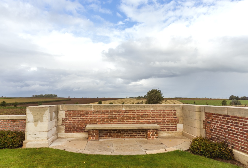
The cemetery is in an agricultural field. Access to the cemetery is along a grass track through the field, 300 metres from the main road.
The route to the cemetery from the main road is signposted.
PARKING
Parking is at the side of the main road in a layby. There is a grass track leading to the cemetery, bounded by a hedge on one side and a farmer’s field on the other. The route is signposted. The off-road layby parking is flat, firm and on a tarmac surface with space for up to 3 vehicles.
Care should be taken in wet conditions as the grass path may become waterlogged, muddy, and slippery when wet.
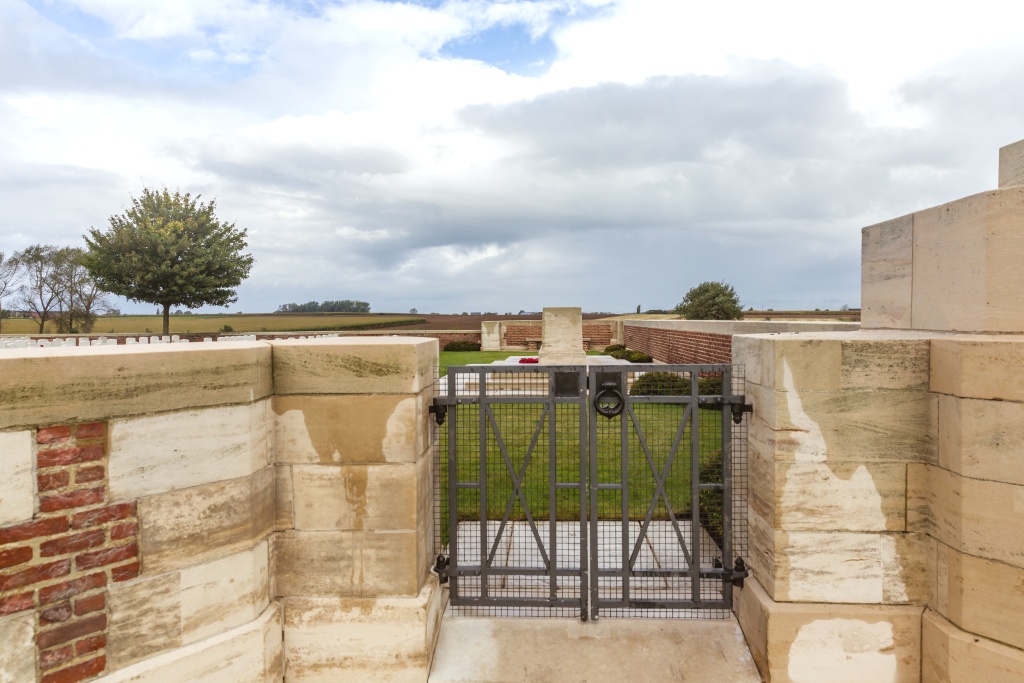
ACCESS, LAYOUT AND MAIN ENTRANCE
The main entrance gate is a 1.2 metre wide double, mid-level, latched metal gate that opens into the cemetery. The latch is lifted by turning a metal ring handle.
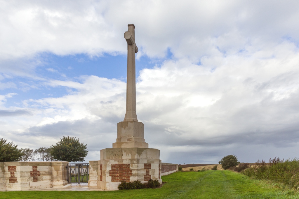
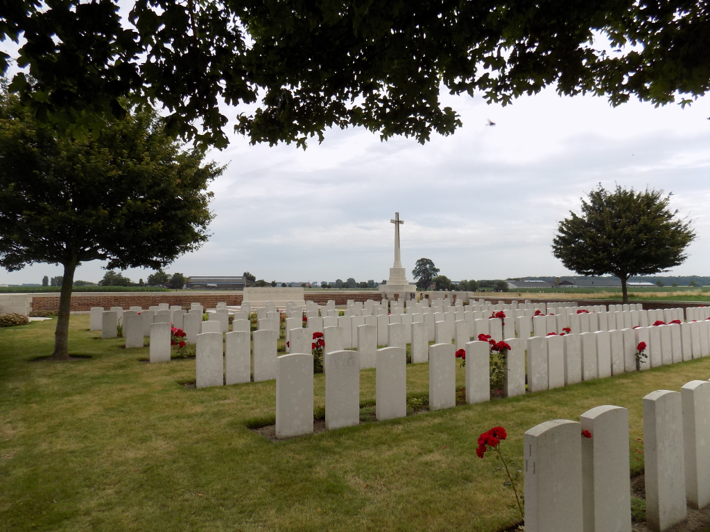
The Cross of Sacrifice is in the corner of the cemetery, built into the main entrance.
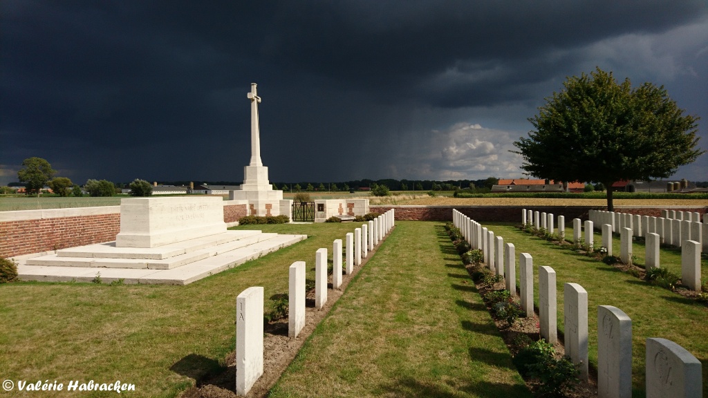
The Stone of Remembrance is in line with the main entrance.
There is stone bench seating area against the cemetery boundary wall in line with the entrance and Stone of Remembrance.
The Register Box is inside the cemetery, built into the main entrance.
The internal paths are grass and the ground is flat.
ALTERNATIVE ACCESS
There is no alternative access into the cemetery.
ADDITIONAL INFORMATION
The cemetery is permanently open.
History information
The cemetery was opened at the beginning of July 1917, in the period between the Battle of Messines and the Third Battle of Ypres. It lay among the camps in flat, wet country and was used by infantry units, artillery and field ambulances until September, 1918. In Plot I, Row H, are buried 14 men of the 9th Lancashire Fusiliers who were killed in the early morning of 4 September 1917, in a German air raid over "Dirty Bucket Camp."
The cemetery contains 467 Commonwealth burials of the First World War.
The cemetery was designed by Sir Reginald Blomfield.