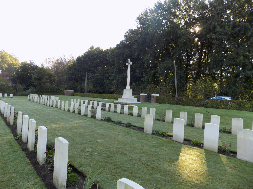
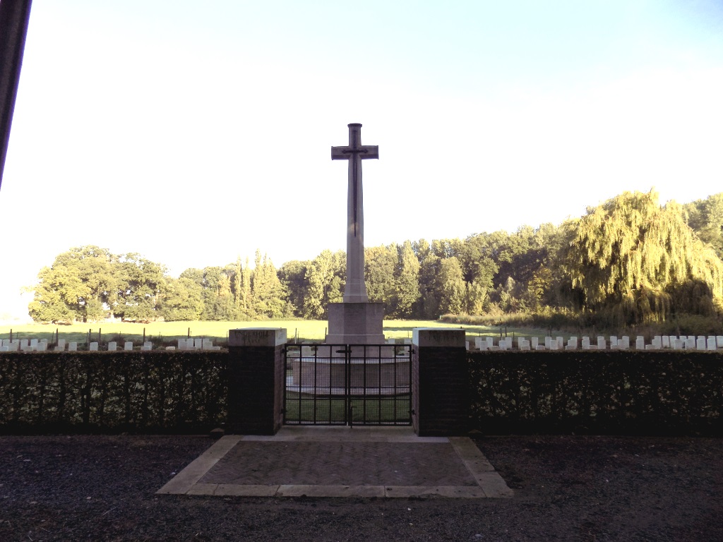
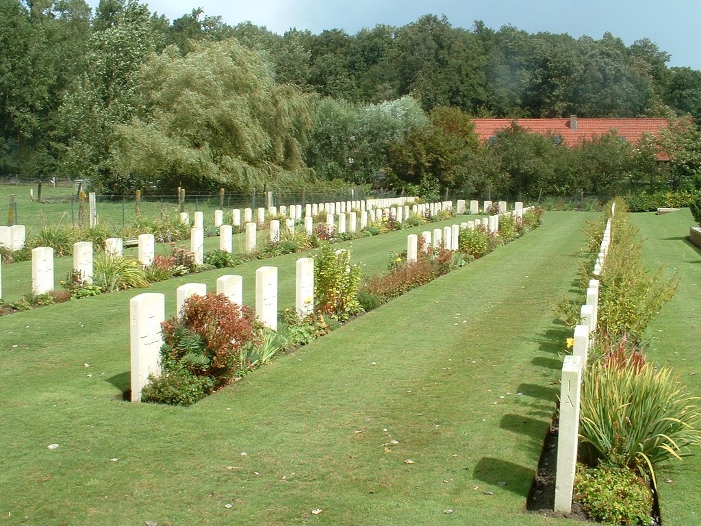
Underhill Farm Cemetery
- Country Belgium
- Total identified casualties 181 Find these casualties
- Region Hainaut
- Identified casualties from First World War
- GPS Coordinates Latitude: 50.74099, Longitude: 2.86995
Location information
Underhill Farm Cemetery is located 12 Kms south of Ieper town centre, on a road leading from the Rijselseweg N365, which connects Ieper to Wijtschate, Mesen (Messines) and on to Armentieres. From Ieper town centre the Rijselsestraat runs from the market square, through the Lille Gate (Rijselpoort) and directly over the crossroads with the Ieper ring road. The road name then changes to the Rijselseweg. 3 Kms after the town of Mesen lies the right hand turning onto the Rue du Petit Pont. (Kleine Brugstraat). 1 Km along this road on the right hand side of the road lies the cemetery.
Visiting information
Wheelchair access is possible via the main entrance. For further information regarding wheelchair access, please contact our Enquiries Department on telephone number: 01628 634221
History information
'Underhill Farm' and 'Red Lodge' were the names given to two buildings on the north-western edge of Ploegsteert Wood. They were occupied by dressing stations and the cemetery which they used, is close to the farm. The cemetery was begun in June 1917 and used until January 1918. It fell into German hands in the spring of 1918, when it was used under the name of "The Military Cemetery at the foot of the Nightingale Hill". The cemetery was recovered in September 1918 and used again for Commonwealth burials until October. There are 190 Commonwealth casualties of the First World War buried or commemorated in this cemetery. Nine of the burials are unidentified and special memorials commemorate five casualties whose exact places of burial in the cemetery could not be determined. The cemetery was designed by G H Goldsmith.