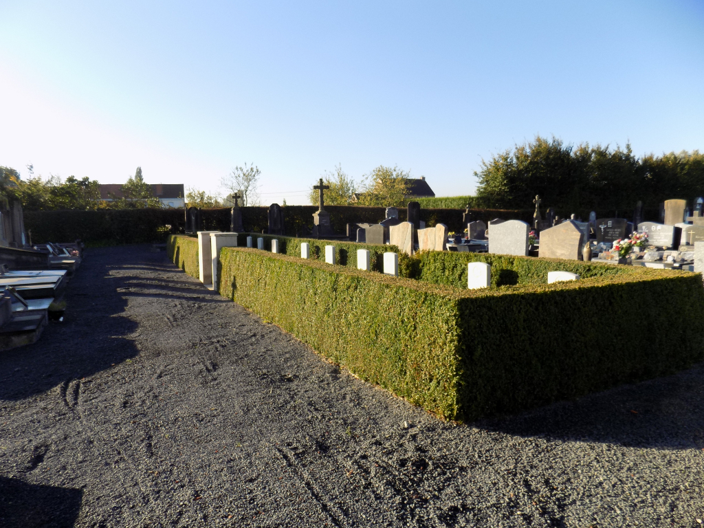
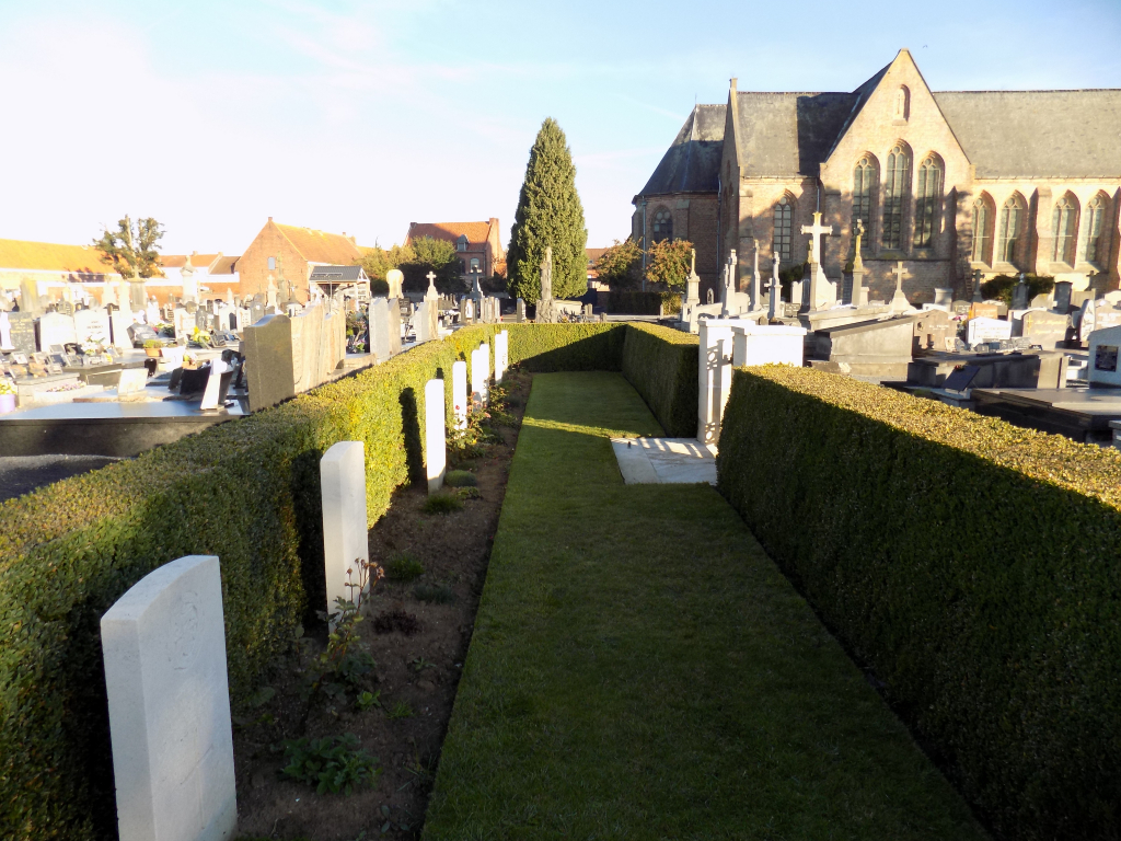
Ploegsteert Churchyard
- Country Belgium
- Total identified casualties 9 Find these casualties
- Region Hainaut
- Identified casualties from First World War
- GPS Coordinates Latitude: 50.72604, Longitude: 2.87996
Location information
Ploegsteert Churchyard is located 14 Kms south of Ieper town centre, on a the Rijselseweg N365, which connects Ieper to Wijtschate, Mesen (Messines), Ploegsteert and on to Armentieres. From Ieper town centre the Rijselsestraat runs from the market square, through the Lille Gate (Rijselpoort) and directly over the crossroads with the Ieper ring road. The road name then changes to the Rijselseweg. On reaching the village of Ploegsteert the church is located on the right hand side of the N365.
Visiting information
Wheelchair access possible via main entrance. For further information regarding wheelchair access, please contact our Enquiries Department on telephone number: 01628 634221
History information
Ploegsteert Churchyard contains nine Commonwealth burials of the First World War, made between October 1914 and February 1915.