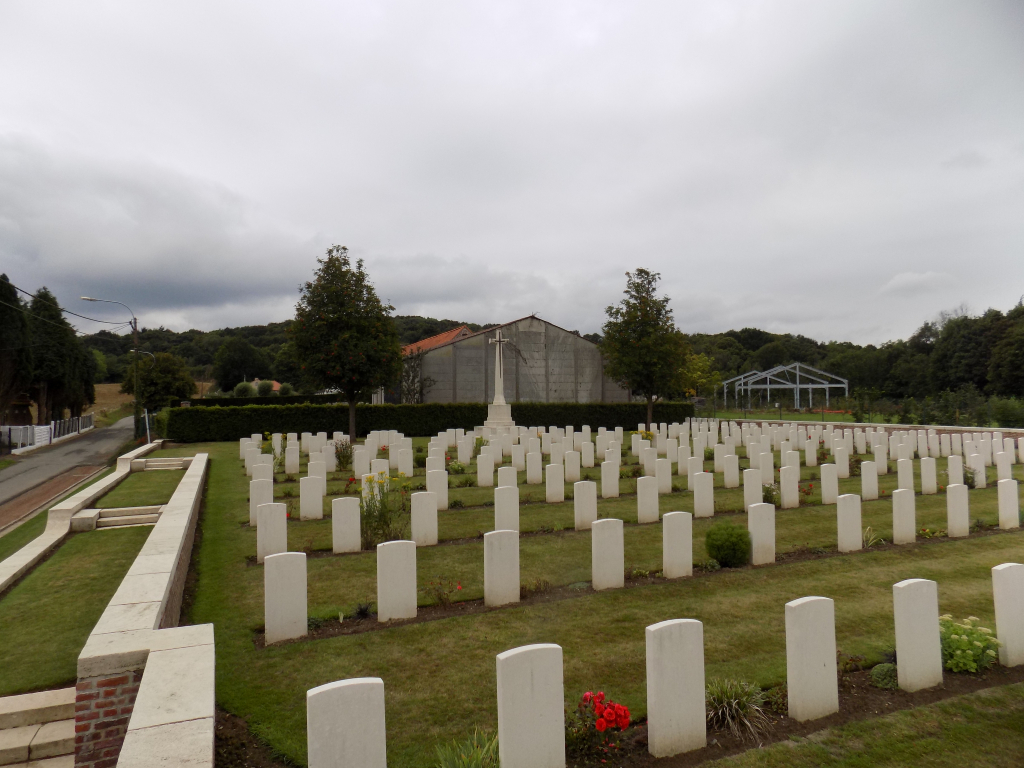
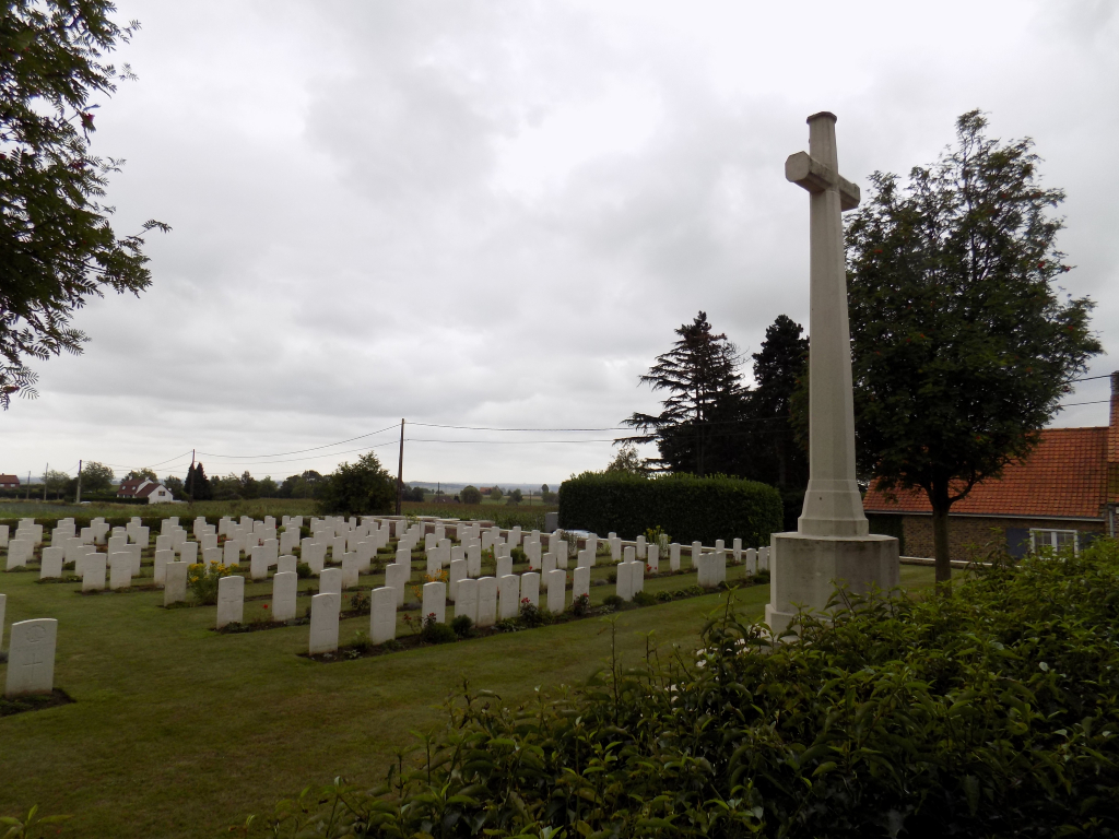
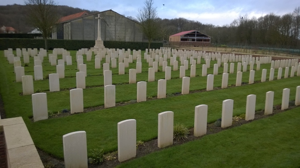
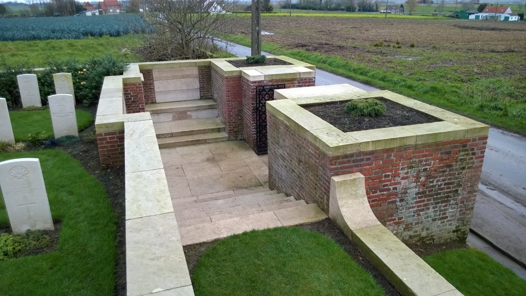
Lindenhoek Chalet Military Cemetery
- Country Belgium
- Total identified casualties 249 Find these casualties
- Region West-Vlaanderen
- Identified casualties from First World War
- GPS Coordinates Latitude: 50.77637, Longitude: 2.8239
Location information
Lindenhoek Chalet Military Cemetery is located 9 Kms south-west of Ieper town centre on a road leading from the Kemmelseweg (N331), connecting Ieper to Kemmel. From Ieper town centre the Kemmelseweg is reached via the Rijselsestraat, through the Lille Gate (Rijselpoort) and straight on towards Armentieres (N365). 900 metres after the crossroads is the right hand turning onto the Kemmelseweg (made prominent by a railway level crossing). Immediately after passing the village of Kemmel lies the Gremmerslinde, a right hand turning leading from the N331. The cemetery lies 500 metres along the Gremmerslinde on the right hand side of the road.
Visiting information
The location or design of this site makes wheelchair access impossible. For further information regarding wheelchair access, please contact our Enquiries Section on telephone number 01628 507200.
History information
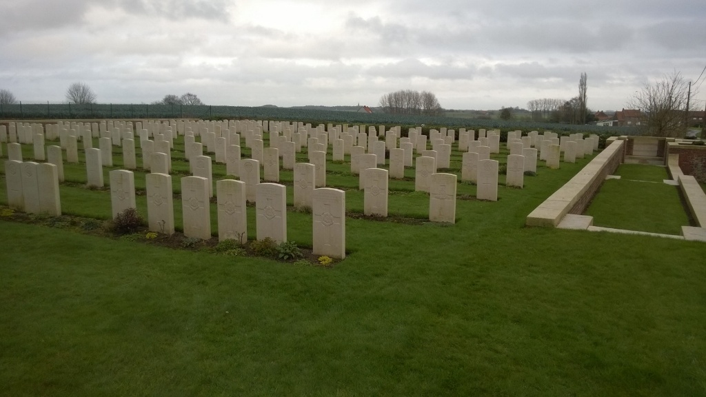
The first burials were made in the cemetery in March 1915 and it continued to be used by fighting units and field ambulances until October 1917. It was enlarged after the Armistice when over 100 graves were brought in from the battlefields surrounding Kemmel. There are now 315 servicemen of the First World War buried or commemorated in the cemetery. 67 of the burials are unidentified, but there are special memorials to six casualties known or believed to be buried among them. The cemetery was designed by Charles Holden.