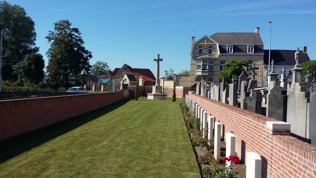
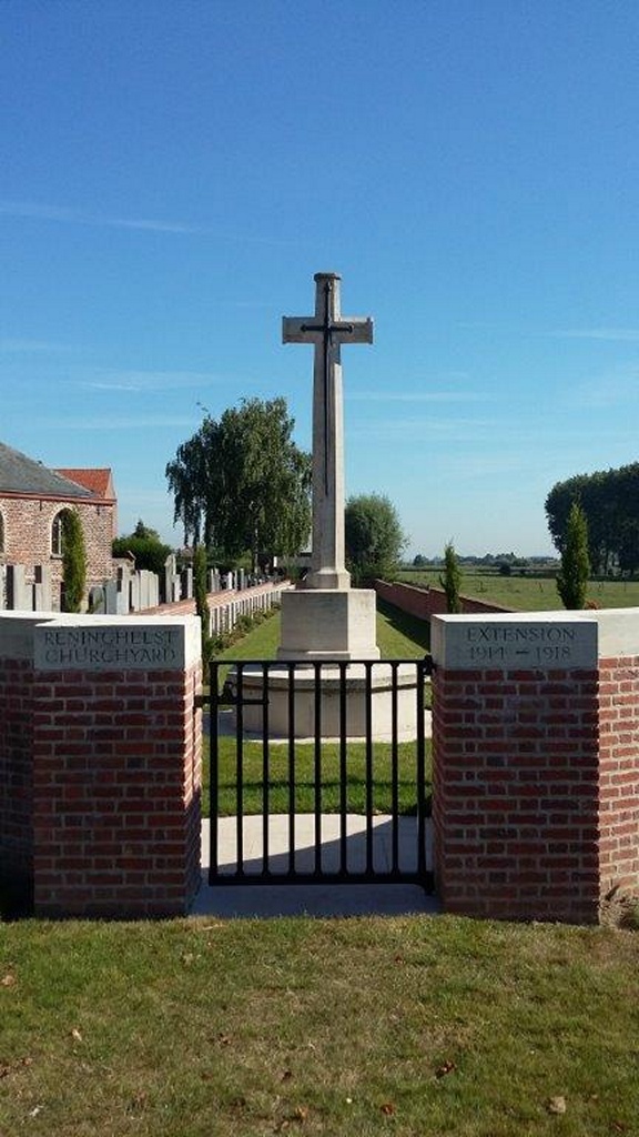
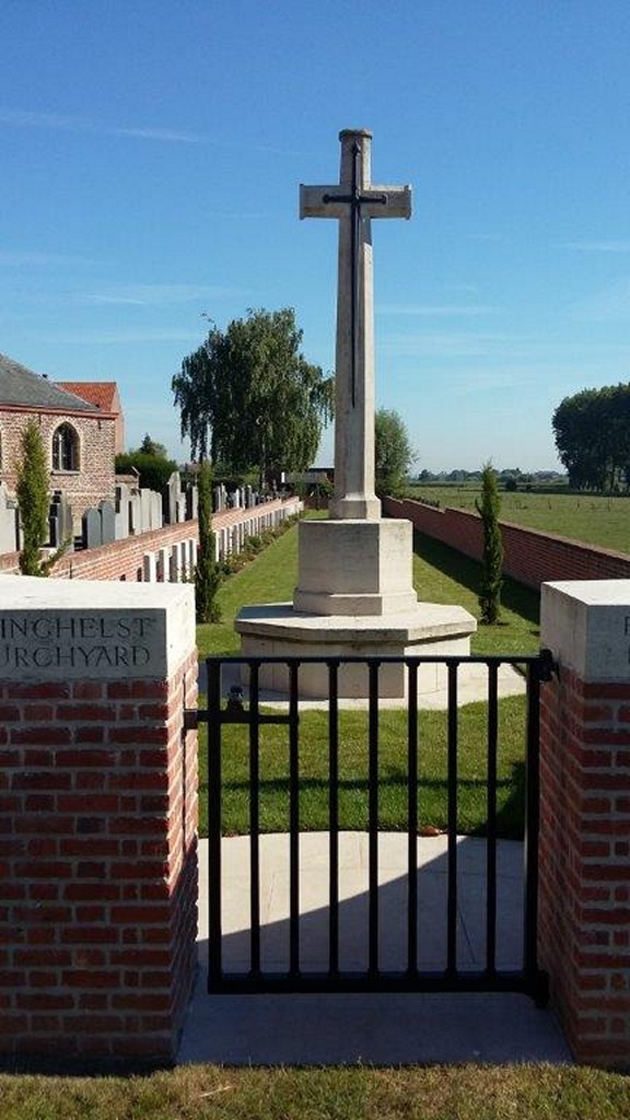
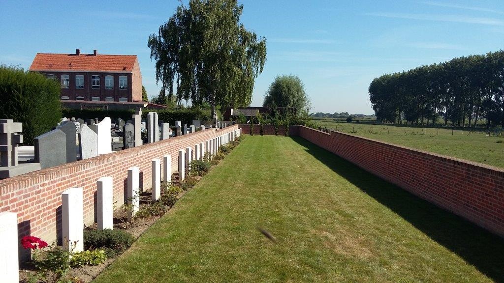
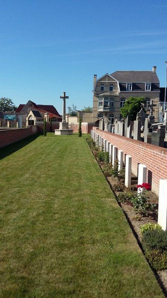
Reninghelst Churchyard Extension
- Country Belgium
- Total identified casualties 57 Find these casualties
- Region West-Vlaanderen
- Identified casualties from First & Second World War
- GPS Coordinates Latitude: 50.81662, Longitude: 2.76422
Please note
Due to road works in the area, access to this cemetery may be difficult.
Location information
Reningelst Churchyard is located 9.5 Kms south-west of Ieper in the village of Reningelst, on a road leading from the N308 Poperingseweg. From Ieper town centre the Poperingseweg (N308), is reached via Elverdingsestraat then directly over two small roundabouts in the J.Capronstraat. The Poperingseweg is a continuation of the J.Capronstraat and begins after a prominent railway level crossing. On reaching the main crossroads in the village of Vlamertinge take the left hand turning onto the Bellestraat. After crossing the N38 Ieper Poperinge road, the village of Reningelst lies 6 Kms beyond Vlamertinge. On reaching the village, turn right onto the Zevekotestraatand continue to the Reningelstplein where the Churchyard is clearly visible.
Visiting information
Wheelchair access with some difficulty. For further information regarding wheelchair access, please contact our Enquiries Section on telephone number: 01628 507200.
History information
The village of Reninghelst was occupied by Commonwealth forces from the autumn of 1914 to the end of the war and was sufficiently far from the front line to provide a suitable station for field ambulances. The churchyard and the extension were used from March to November 1915, when the New Military Cemetery was opened. The CHURCHYARD contains three First World War burials, one of them is commemorated by a special memorial as the grave cannot now be identified. The EXTENSION contains 56 First World War burials and two from the Second World War.