La Brique Military Cemetery No.2
- Country Belgium
- Total identified casualties 456 Find these casualties
- Region West-Vlaanderen
- Identified casualties from First World War
- GPS Coordinates Latitude: 50.86469, Longitude: 2.89442
Location information
The cemetery is located to the North-East of the town of Ieper. From the station turn left and drive along M.Fochlaan to the roundabout, turn right and go to the next roundabout. Here turn left into M.Haiglaan and drive to the next roundabout. Here turn right into Oude Veurnestraat, this then changes to Diksmuidseweg and Brugseweg drive along this road to the traffic lights, at the lights turn left into Industrielaan then turn first right into Pilkemseweg, the cemetery is approx 400 metres on the left.
Visiting information
La Brique Military Cemetery No 2 is the larger of the 2 cemeteries and is on the opposite side of the road from La Brique Military Cemetery No 1.
ARRIVAL
The cemetery is signposted.
PARKING
It is possible to park in the layby at the side of the main road, along the front perimeter of the cemetery. There is space for up to 10 vehicles.
The ground is flat and firm with a tarmac surface.
ACCESS LAYOUT AND MAIN ENTRANCE
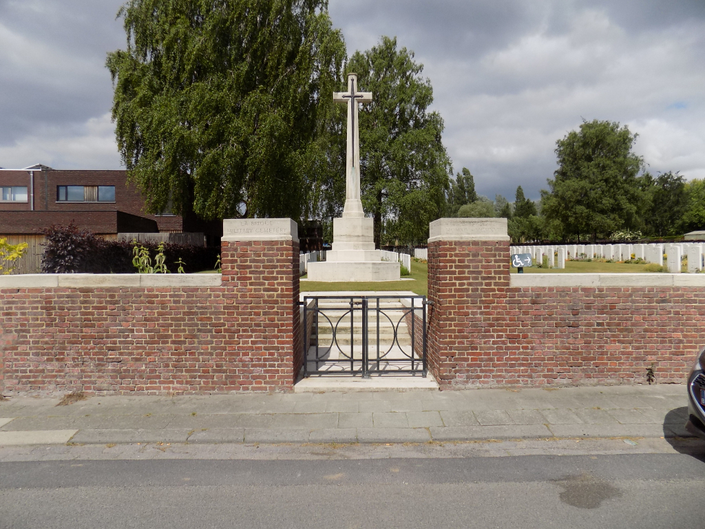
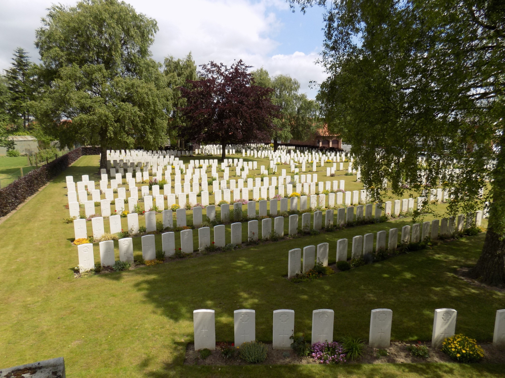
The cemetery is roughly rectangular in shape and bound on three sides with a hedge. There is a brick wall along the front of the cemetery, along the road, approximately 1.5 metres high at the left side of the cemetery (entrance end), and becomes level with the grass at the right side of the cemetery.
The main gate (black metal) is on the left side of the cemetery, 150 centimetres wide, mid-level with two sections that open inwards into the cemetery. The left section is latched at the top. The right section can be opened by lifting a vertical lever at the lower part of the gate. The ground below the entrance is paved, flat and firm and level with the footpath. The are 5 steps leading up into the cemetery. The steps and entrance are bound by white paving that is level with the grass. There is a vertical drop of approximately 1 metre from the paving that surrounds the steps.
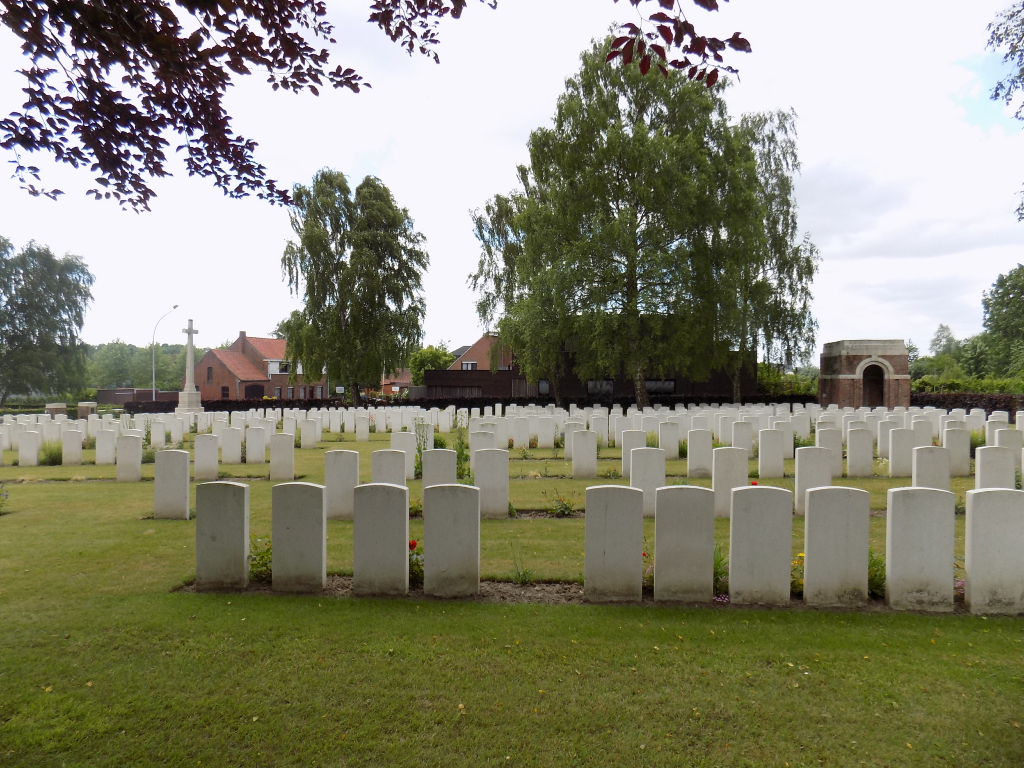
The Cross of Sacrifice is immediately in front of the steps.
There is a Shelter Building to the rear of the cemetery on the left side with stone bench seating inside. The paving in front and inside the shelter is level with the grass.
The Register Box is mounted into the left-hand pillar at the main entrance, inside the cemetery. There is a drop of one metre to the left of the Register Box.
All internal paths are grass, the ground is flat and firm.
ALTERNATIVE ACCESS
On the right-hand side of the front perimeter wall of the cemetery is the service entrance, with a gap in the wall allowing unrestricted access. There is a paving stone level with the footpath and the grass inside the cemetery.
ADDITIONAL INFORMATION
The cemetery is permanently open.
History information
La Brique is a small hamlet named from an old brick works that used to stand nearby before the First World War.
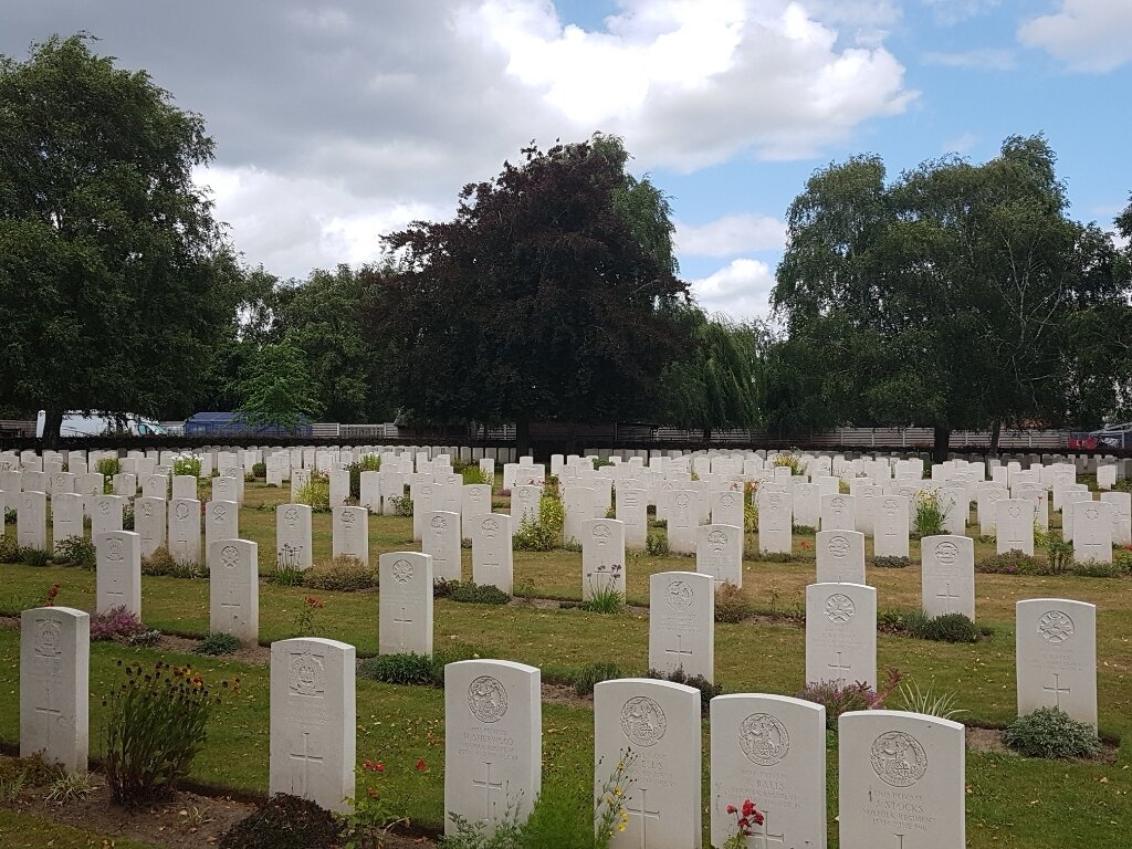
LA BRIQUE CEMETERY No.2 was begun in February 1915 and used until March 1918. The original cemetery consisted of 383 burials laid out in 25 irregular rows in Plot I. After the Armistice, graves were brought in from the battlefields to create Plot II and extend the original plot.
There are now 840 Commonwealth servicemen of the First World War buried or commemorated in this cemetery. 400 of the burials are unidentified, but special memorials commemorate four casualties known or believed to be buried among them.
Across the road is LA BRIQUE CEMETERY No.1, which was begun in May 1915 and used until the following December. It contains 91 First World War burials, four of them unidentified.
Both cemeteries were designed by Sir Reginald Blomfield.