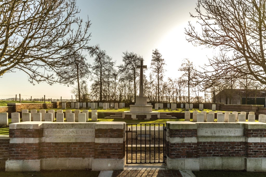
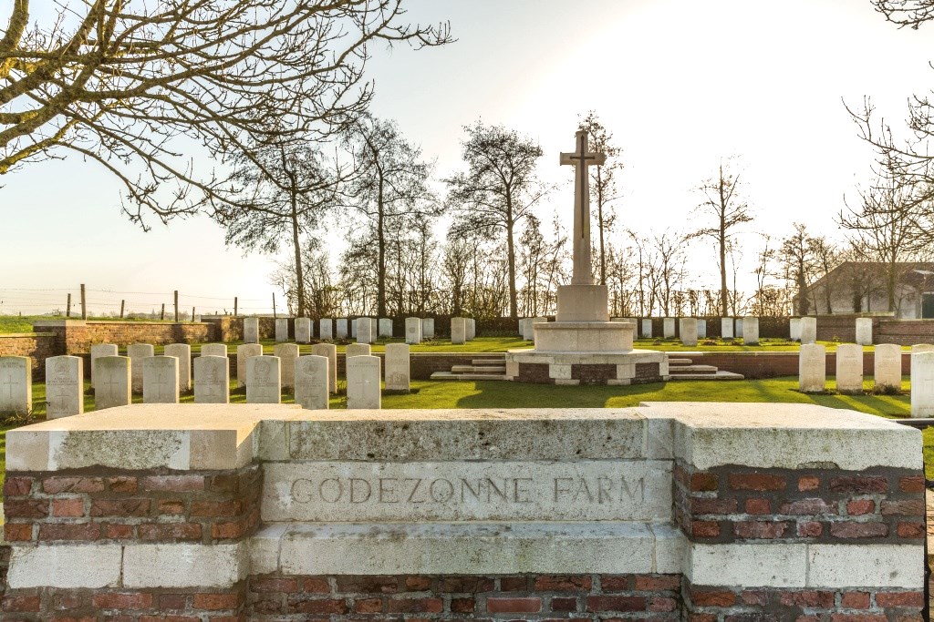
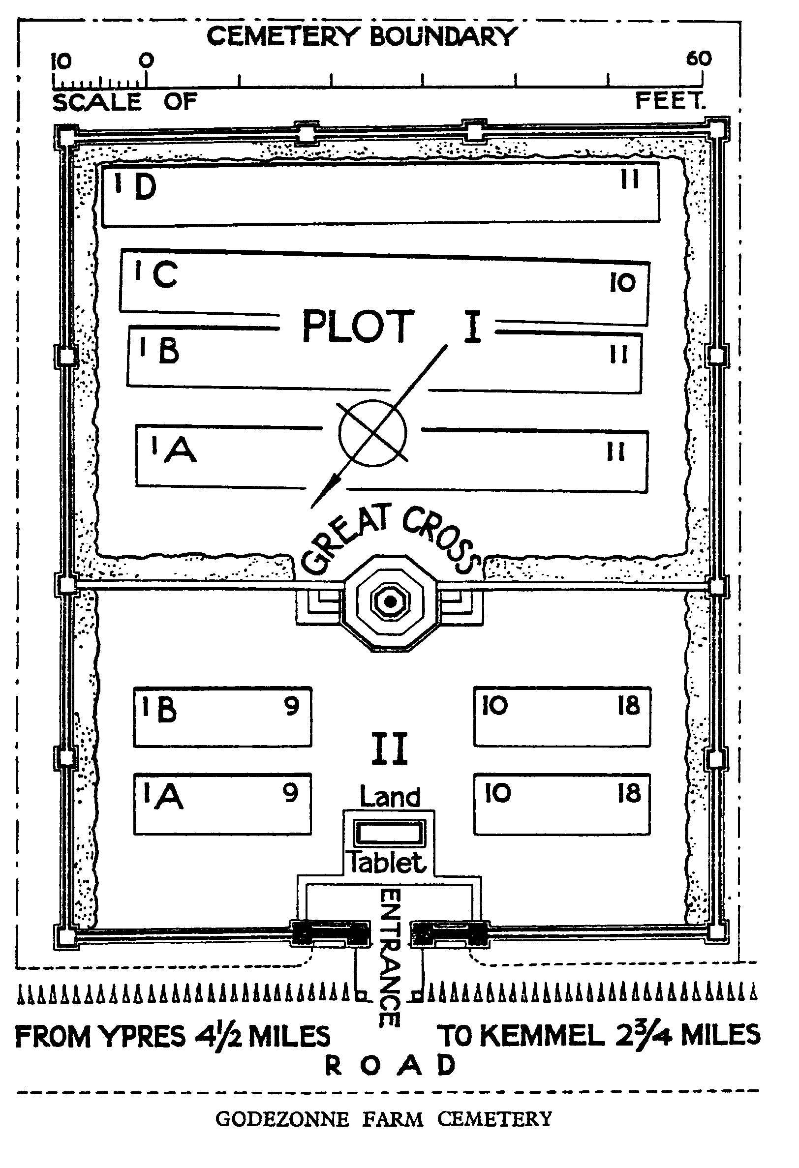
Godezonne Farm Cemetery
- Country Belgium
- Total identified casualties 35 Find these casualties
- Region West-Vlaanderen
- Identified casualties from First World War
- GPS Coordinates Latitude: 50.80062, Longitude: 2.84041
Location information
Godezonne Farm Cemetery is located 7 km south west of Ieper town centre, on the Kriekstraat, a road leading from the Kemmelseweg. (Joining Ieper to Kemmel N331). From Ieper town centre the Kemmelseweg is reached via the Rijselsestraat, through the Lille Gate (Rijselpoort), and straight on towards Armentieres (N365). 900 metres after the crossroads is the right hand turning onto the Kemmelseweg. (Made prominent by a railway level crossing). 5 km along the Kemmelseweg lies the right hand turning onto Poperingstraat. 800 metres along the Poperingstraat is the left hand turning onto Kriekstraat. The cemetery itself is located 800 metres along the Kriekstraat on the left hand side of the road.
Visiting information
Wheelchair access to this cemetery is possible via main entrance. For further information regarding wheelchair access, please contact our Enquiries Section on telephone number 01628 507200.
History information
The cemetery was made in the garden of Godezonne Farm, between February and May 1915 by the 2nd Royal Scots and the 4th Middlesex. Three further burials were added in 1916 and the cemetery was enlarged after the Armistice when graves were brought in from a wide area north and east of Kemmel. Godezzone Farm Cemetery contains 79 First World War burials, 44 of them unidentified. The cemetery was designed by W H Cowlishaw.