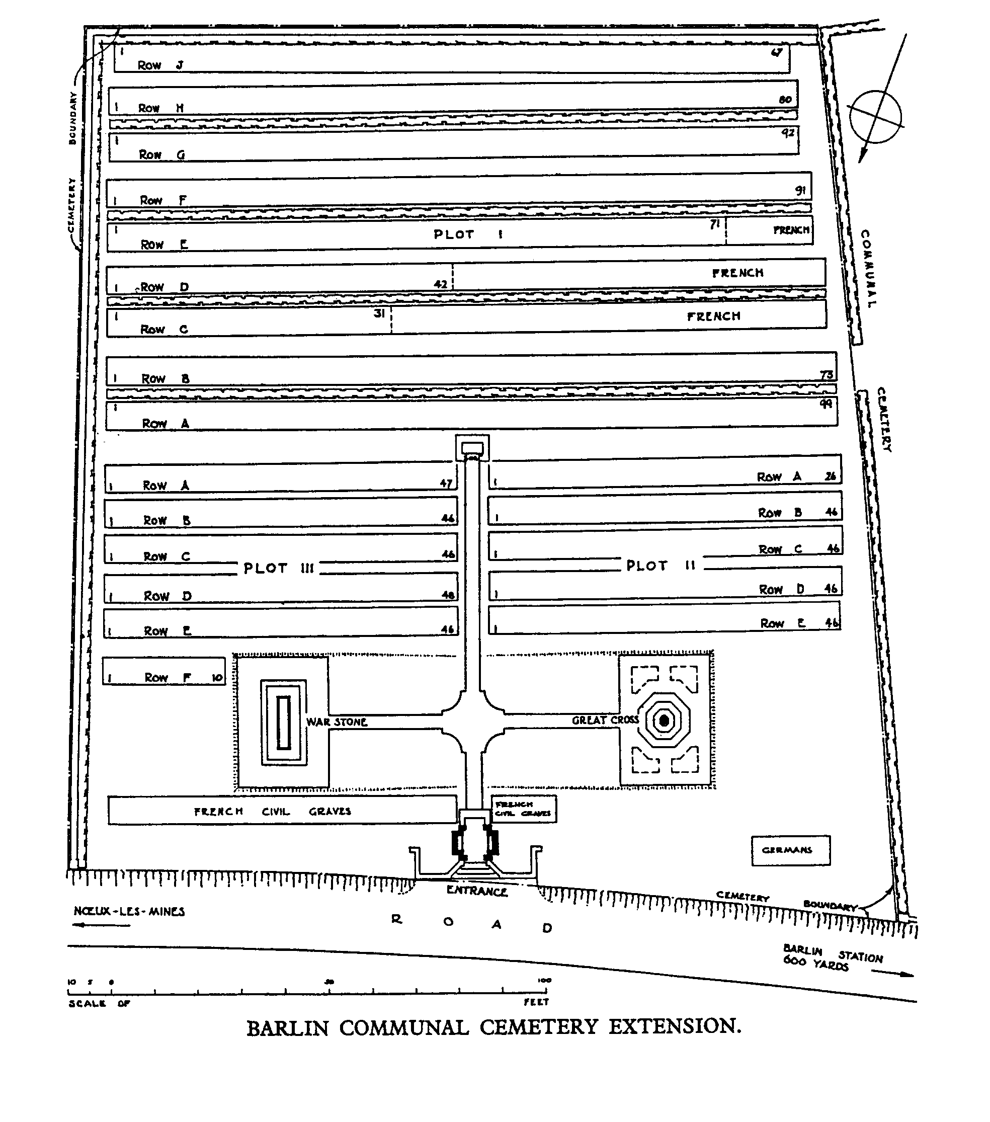
Barlin Communal Cemetery Extension
- Country France
- Total identified casualties 1117 Find these casualties
- Region Pas de Calais
- Identified casualties from First World War
- GPS Coordinates Latitude: 50.46546, Longitude: 2.61675
Location information
Barlin is a village about 11 Kms south-west of Bethune on the D188, between the Bethune-Arras and Bethune-St. Pol roads, about 6.5 Kms south-east of Bruay. The Communal Cemetery and Extension lie to the north of the village on the D171 road to Houchin.
Visiting information
Wheelchair access is possible to the cemetery extension with some difficulty - there are six steps from the road to the Cemetery Extension.
For further information regarding wheelchair access, please contact our Enquiries Section on telephone number 01628 507200.
History information
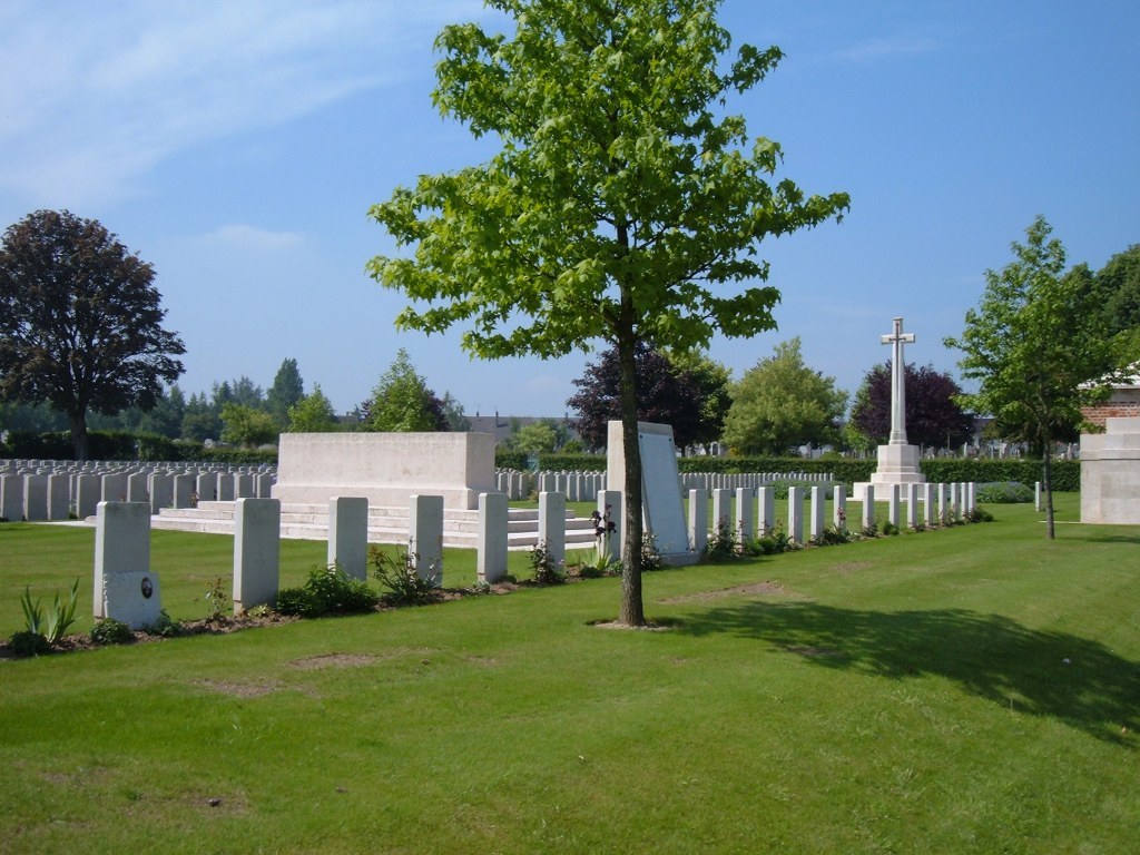
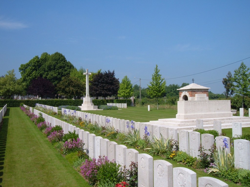
The extension was begun by French troops in October 1914 and when they moved south in March 1916 to be replaced by Commonwealth forces, it was used for burials by the 6th Casualty Clearing Station. In November 1917, Barlin began to be shelled and the hospital was moved back to Ruitz, but the extension was used again in March and April 1918 during the German advance on this front. The extension contains 1,095 Commonwealth burials of the First World War, 2 being unidentified. There are 63 French and 13 German burials including 2 unidentified. The extension was designed by Sir Edwin Lutyens.