Estaimbourg Churchyard
- Country Belgium
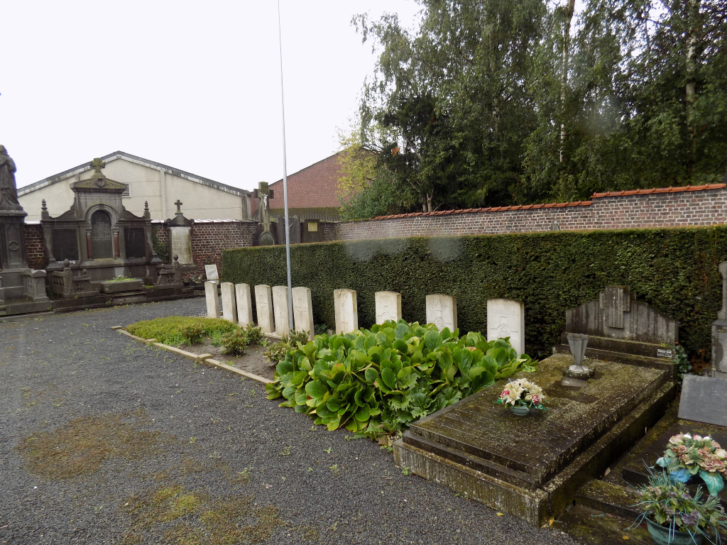
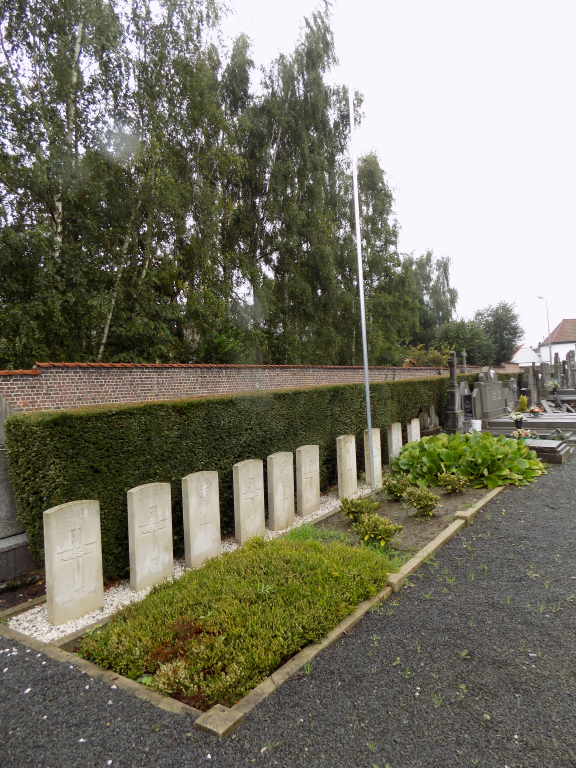
- Total identified casualties 11 Find these casualties
- Region Hainaut
- Identified casualties from First & Second World War
- GPS Coordinates Latitude: 50.68247, Longitude: 3.31767
Location information
Estaimbourg Churchyard is located 10 km north of Tournai on the N510 rue de Lonnoy, a road leading from the N50 connecting Tournai to Kortrijk. 10 km north of Tournai lies the village of Pecq and the left hand turning onto the N510 towards Estaimbourg. 1 km along the N510 lies the village of Estiambourg and the village churchyard which is located on the left hand side of the road.
Visiting information
Visitors should note that this site is restricted to normal cemetery opening hours. Wheelchair access possible via main entrance. For further information regarding wheelchair access, please contact our Enquiries Department on telephone number: 01628 634221
History information
Estaimbourg Churchyard contains six Commonwealth burials of the First World War, three of which were due to a direct hit on nearby billets of the 23rd Lancashire Fusiliers in November 1918. The six Second World War burials (one of them unidentified) date from May 1940 and the withdrawal of the British Expenditionary Force ahead of the German advance.