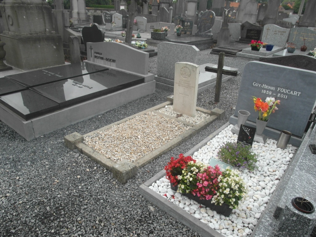
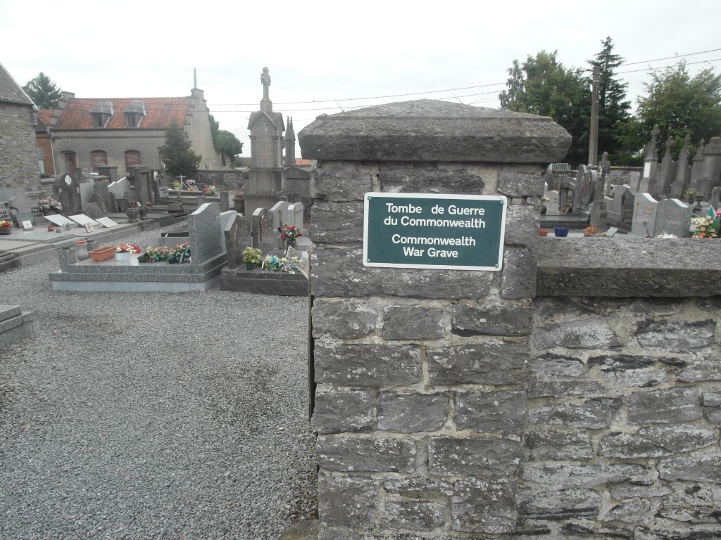
St. Maur Churchyard
- Country Belgium
- Total identified casualties 1 Find these casualties
- Region Hainaut
- Identified casualties from First World War
- GPS Coordinates Latitude: 50.57185, Longitude: 3.39082
Location information
The village of St Maur is located south of Tournai off the N507. From the E42 motorway turn off at junction 35 and onto the N7, direction Tournai. At the junction with the Tournai ring, the R52, turn left. At the second crossroads turn left along the N507, direction Valenciennes. Follow the N507 and take the second right hand turning, Rue De Warnaffe, to St Maur. At the crossroads go straight over and the church is along here in the village centre. The graves are located to the rear of the church.
History information
St. Maur Churchyard contains one Commonwealth burial of the First World War.