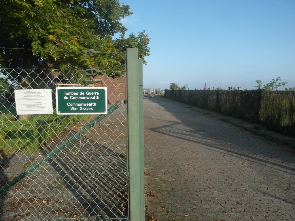
Taintignies Communal Cemetery
- Country Belgium
- Total identified casualties 26 Find these casualties
- Region Hainaut
- Identified casualties from First World War
- GPS Coordinates Latitude: 50.5538, Longitude: 3.34345
Location information
The village of Taintignies is located south-east of Tournai off the N508. From the E42 motorway turn off at junction 35 and onto the N7 direction Lille. Follow the N7 to the first junction and turn left along Rue Rene Le Febvre, direction Esplechin. Follow under the motorway and through the villages of Lamain and Esplechin to Rumes. In Rumes at the junction with the N508 turn left towards Tournai. At the second crossroads turn right towards Taintignies along Chemin De Taintignies. At the main road junction in the village turn left into Rue De L'Eglise and then first left into Rue Du Cimetiere, the cemetery is along here on the left. The graves are located at the rear of the cemetery.
Visiting information
The cemetery is open from 08.00 hrs to 19.00 hours.
History information
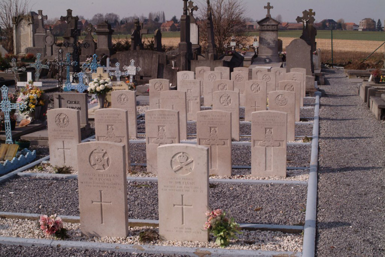
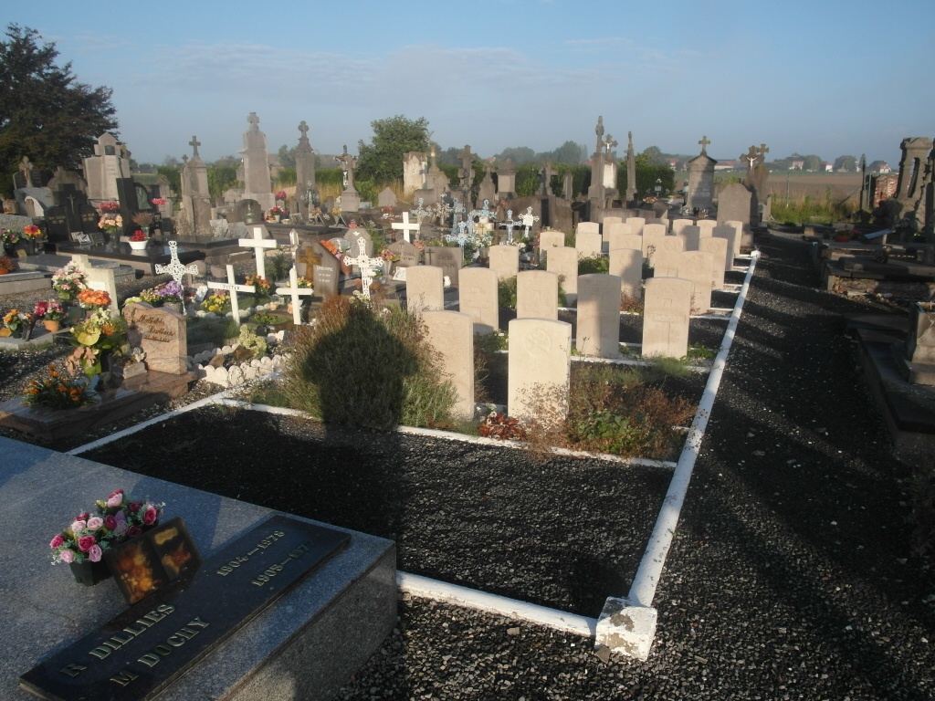
The Commonwealth plot in Taintignies Communal Cemetery was made by units of the 15th and 16th Divisions during the Advance to Victory in October and November 1918.
The plot contains 27 Commonwealth burials of the First World War.