Nivelles (Nijvel) Communal Cemetery
- Country Belgium
- Total identified casualties 27 Find these casualties
- Region Brabant Wallon
- Identified casualties from First & Second World War
- GPS Coordinates Latitude: 50.59176, Longitude: 4.32848
Location information
The town of Nivelles is situated to the south of Brussels and north of Charleroi on the E19/A7 motorway which runs between Brussels and Paris. Exit the motorway at junction 19 Nivelles-sud and follow the N27 towards Nivelles. At the first crossroads turn right onto the R24 ring road. Follow this to the junction with the N586, turn left onto the N586 towards Nivelles. After about 1.5 km the cemetery is on the right in the Faubourg de Charleroi. The towns Police Station is on the left hand side with the cemetery entrance directly opposite the Police Station. The First World War graves are located in a group to the left of the main path about 80 meters from the entrance. The three Second World War graves are scattered throughout the cemetery. One is about 7 rows behind the plot whilst the other two are in the far right corner when looking from the gate.
Visiting information
OPENING TIMES: Every Day except Wednesday 08.00 to 16.30 hours (Closed All Day Wednesday)
History information
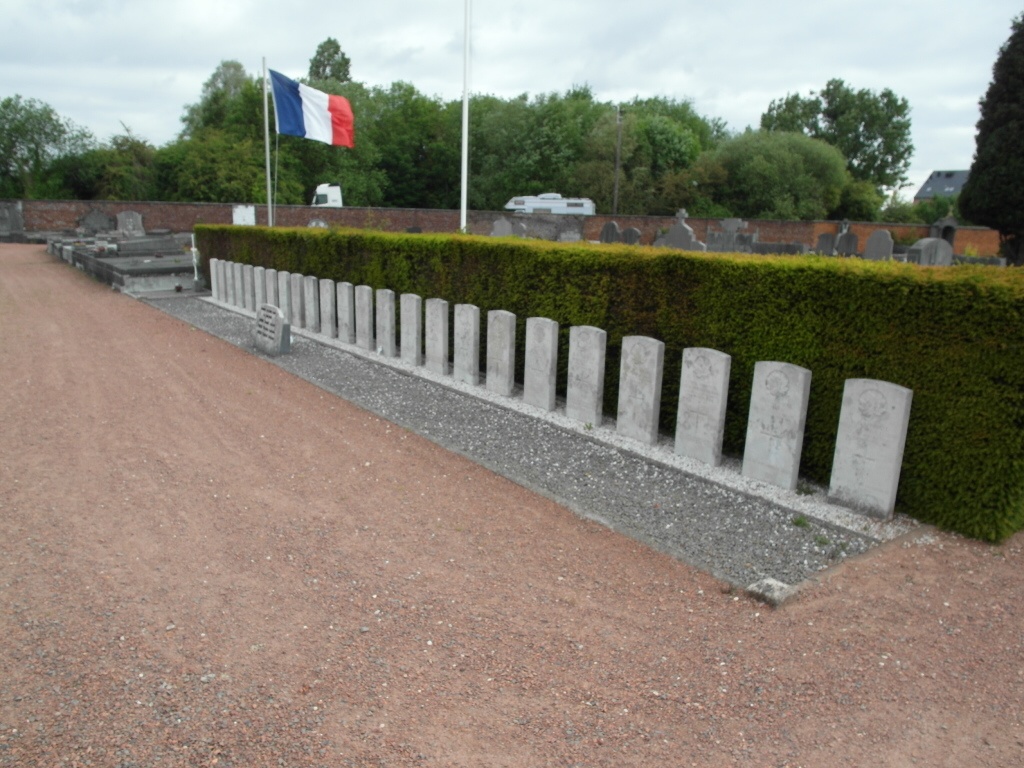
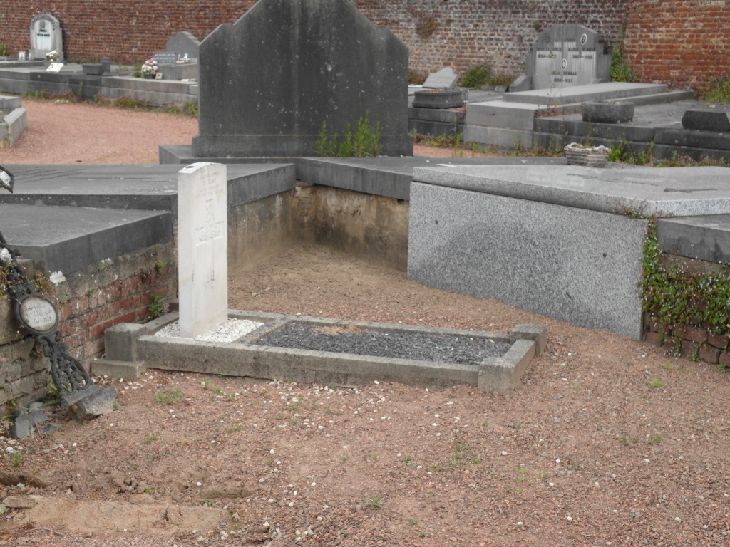
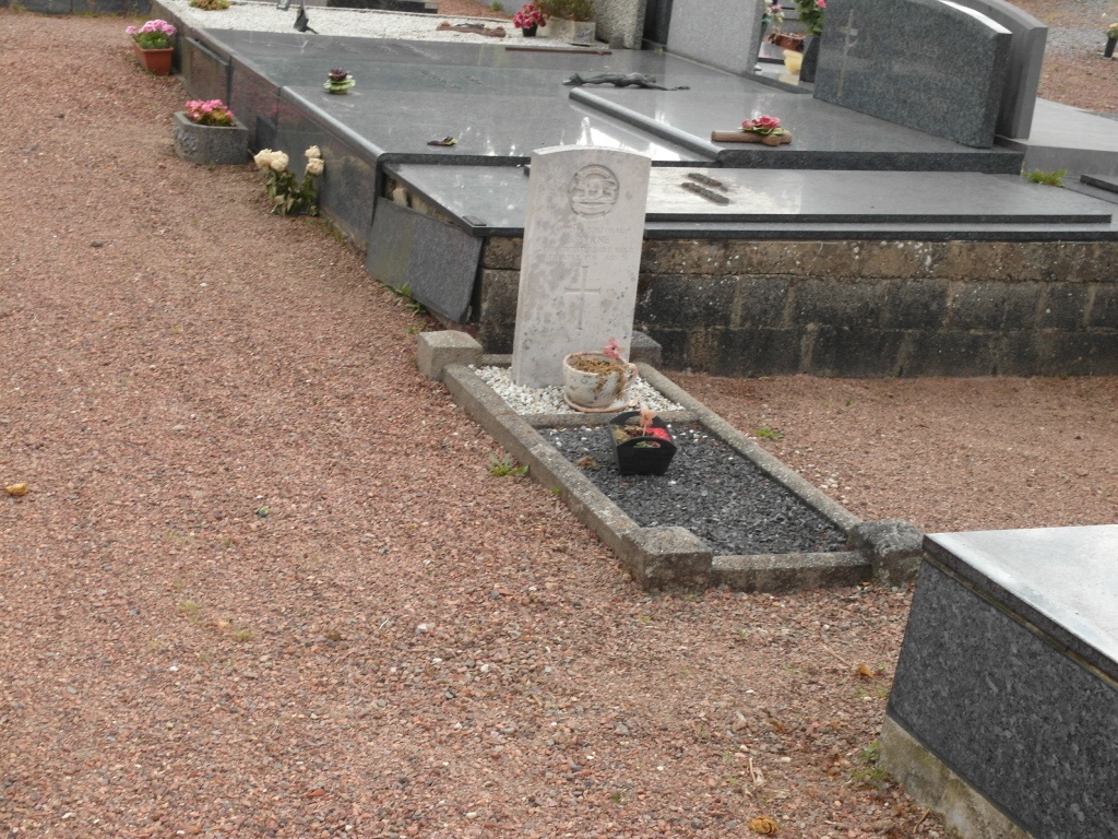
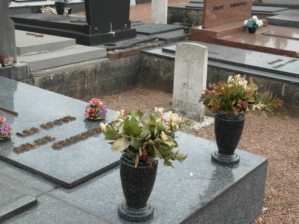
Nivelles Communal Cemetery contains 24 Commonwealth burials of the First World War, all them dating from the months after the Armistice. There are also three burials from the Second World War.