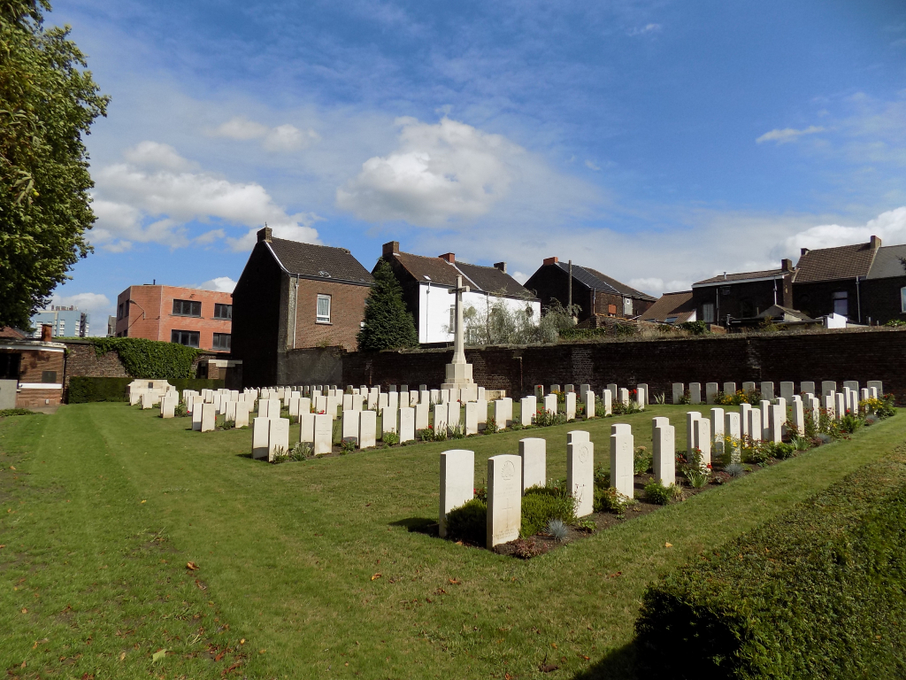
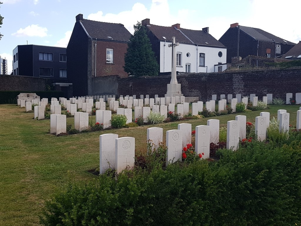
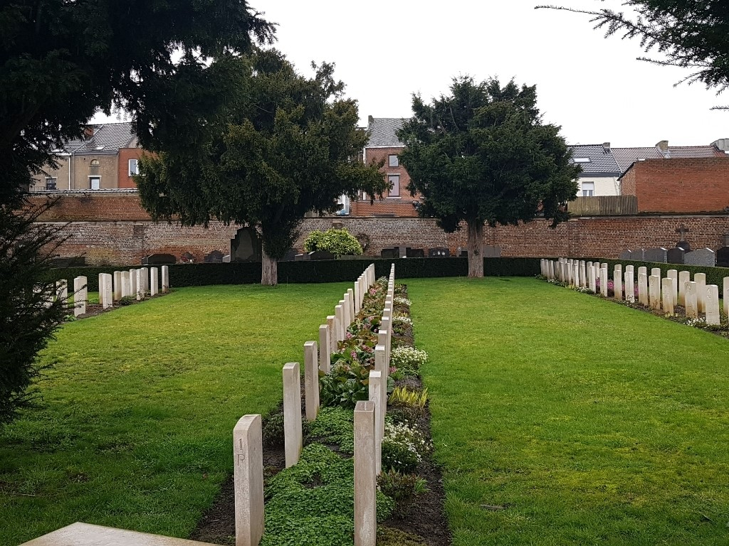
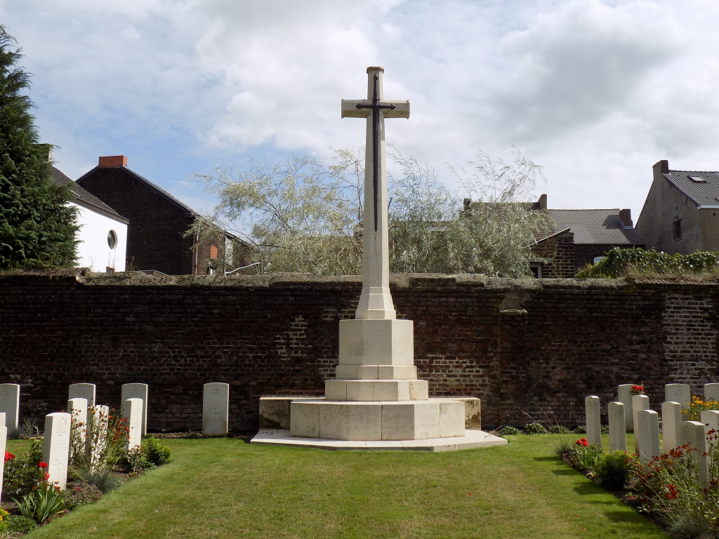
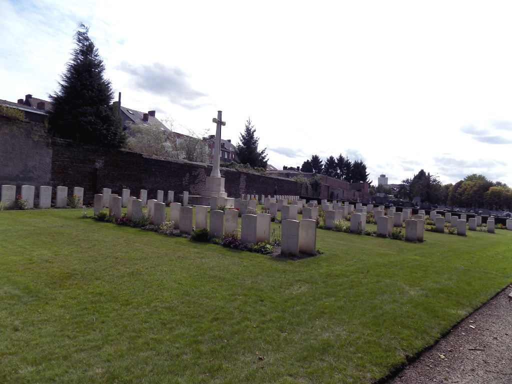
Charleroi Communal Cemetery
- Country Belgium
- Total identified casualties 333 Find these casualties
- Region Hainaut
- Identified casualties from First & Second World War
- GPS Coordinates Latitude: 50.42489, Longitude: 4.45503
Location information
Charleroi is located between Mons and Namur. From the motorway E42 turn onto the A54 in the direction of Charleroi, located between junctions 16 and 17. Travel along the A54 until junction 26, the Lodelinsart/Gilly junction. Take this turning and stay in the right hand lane. At the traffic lights bear right, then immediately left into rue de Lodinsart (road running parallel to the motorway access). After 500 metres do a U-turn, then turn right into rue P Paulus, next left into rue Cayauderie, then take the second right into rue de Bethleem and first right into rue de Presbytere. The cemetery is straight ahead. On entering the cemetery, the graves are on the left after the Guardian's office and are divided in two plots.
Visiting information
Visitors should note that this site is open every day from 08:00 to 16:00hrs
Visitors should note that this site is restricted to normal cemetery opening hours.
Wheelchair access possible via main entrance.
For further information regarding wheelchair access, please contact our Enquiries Department on telephone number: 01628 634221
History information
Charleroi was the scene of fighting between 21 and 24 August 1914 and for the rest of the First World War it was a German military and administrative centre. The 270 Commonwealth servicemen of the First World War buried in the communal cemetery either died as prisoners of war, or after the Armistice. The cemetery also contains 38 Second World War burials, most of them airmen, and 23 war graves of other nationalities.