Marcinelle New Communal Cemetery
- Country Belgium
- Total identified casualties 281 Find these casualties
- Region Hainaut
- Identified casualties from First World War
- GPS Coordinates Latitude: 50.37847, Longitude: 4.4439
Location information
Marcinelle New Communal Cemetery is located 3 kilometres south west of Charleroi. From the Charleroi ring road, R9, exit at number 30 onto the N5 towards Philippeville. After 500 metres turn right onto the N 565, rue Pierre Bailly. Continue along this road to the rue des Haies. After 1 kilometre this road becomes the rue Babotterie and continues for a futher kilometre onto the rue Babotterie. 1 kilometre further on, the road changes its name to the rue Montagne and meets a church and the right hand turning, onto the rue Louis Pasteur. The next left hand turning leads onto the rue des Sarts and the cemetery is located 100 metres along this road.
Visiting information
Visitors should note that this site is open every day from 08:00 to 16:00hrs
Wheelchair access to site possible - maybe by an alternative entrance.
For further information regarding wheelchair access, please contact our Enquiries Department on telephone number: 01628 634221
History information
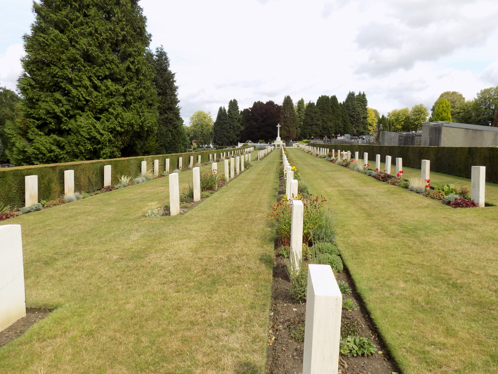
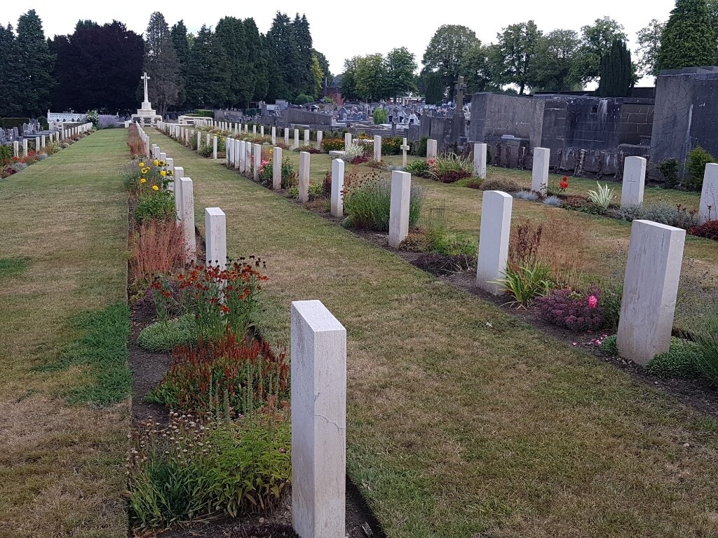
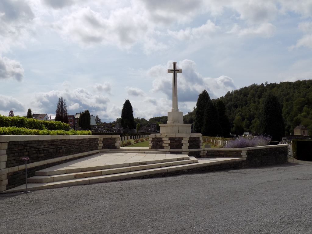
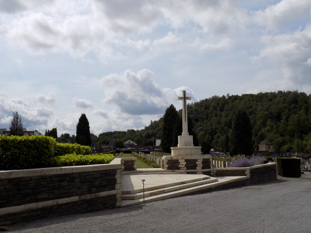
Marcinelle New Communal Cemetery was used during the German occupation, and later, after the Armistice, by Commonwealth forces. The cemetery contains 59 Commonwealth burials of the First World War, 10 of them unidentified. There are also 27 French graves and 328 German war graves. Of the German burials 98 are unidentified and a Special Cross names 44 of those known to be buried among the unidentified in this cemetery.