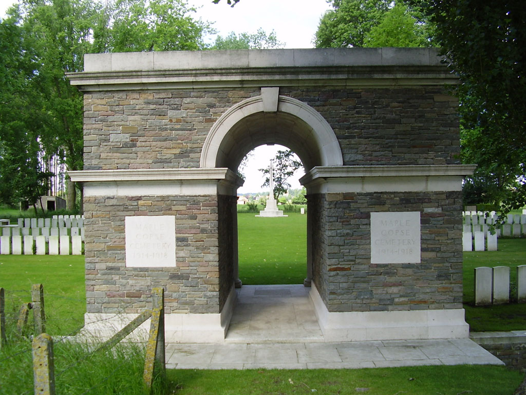
Maple Copse Cemetery
- Country Belgium
- Total identified casualties 258 Find these casualties
- Region West-Vlaanderen
- Identified casualties from First World War
- GPS Coordinates Latitude: 50.83549, Longitude: 2.93913
Location information
Maple Copse Cemetery is located 5 Kms south-east of Ieper town centre, a road leading from the Meenseweg (N8), connecting Ieper to Menen. From Ieper town centre the Meenseweg is located via Torhoutstraat and right onto Basculestraat. Basculestraat ends at a main cross roads, directly over which begins the Meenseweg. 2.5 Kms along the Meenseweg shortly after Birr Cross Roads Cemetery, lies the right hand turning onto Wulvestraat. 1 Km along the Wulvestraat is the left hand turning onto Schachteweidestraat. The cemetery itself is located 2 Kms along the Schachteweidestraat on the right hand side of the road.
Visiting information
Wheelchair access possible via main entrance.
History information
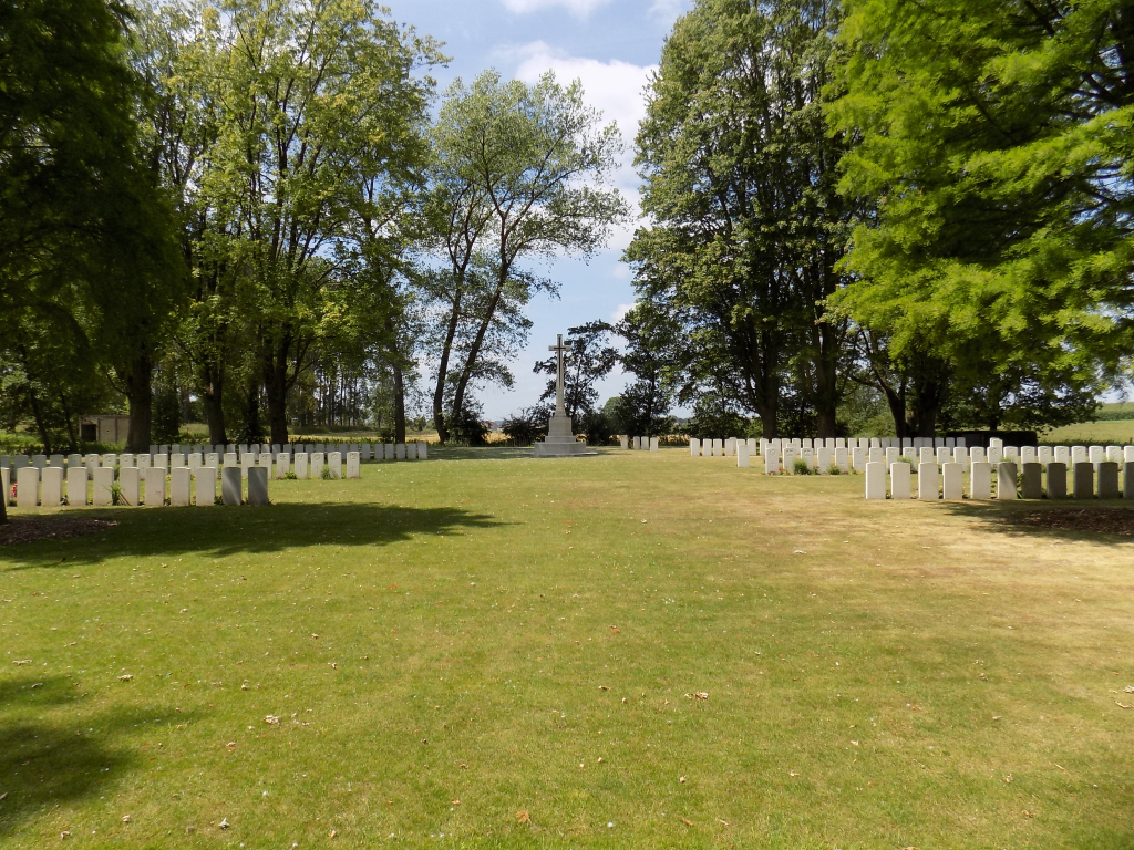
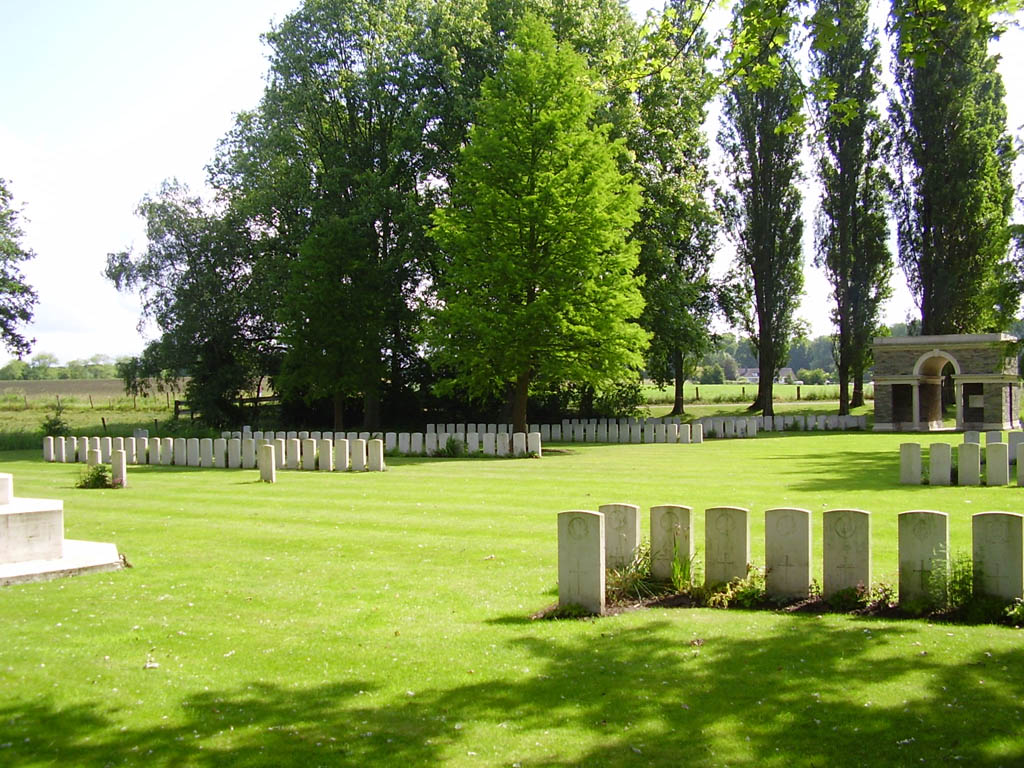
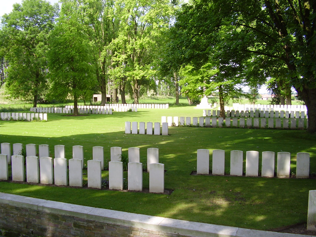
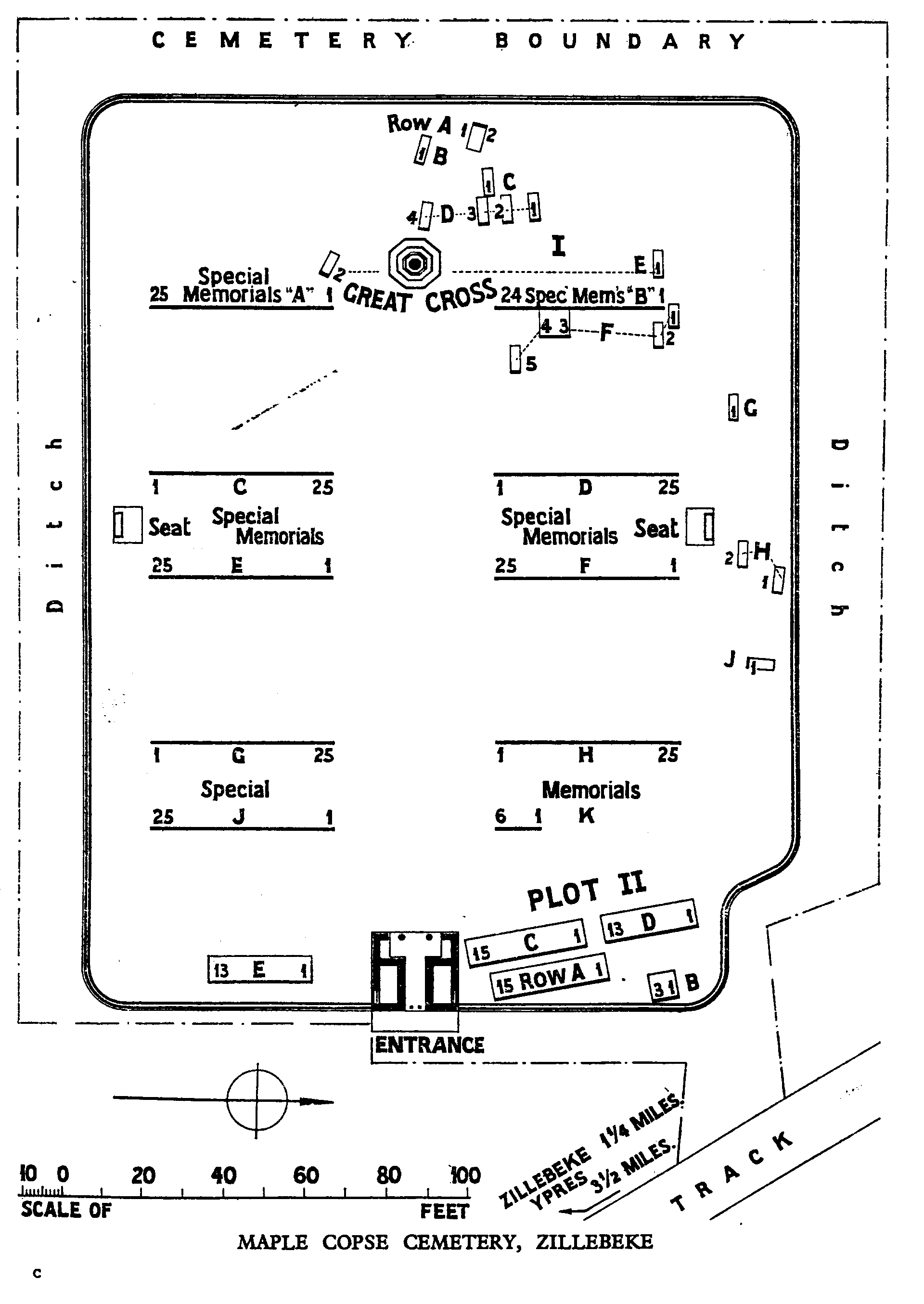
The commune of Zillebeke contains many Commonwealth cemeteries as the front line trenches ran through it during the greater part of the First World War. Maple Copse was the name given by the Army to a small plantation about 900 metres east of the village of Zillebeke, and just west of Sanctuary Wood. The place was used by Advanced Dressing Stations and burials took place there both before and after the Battle of Mount Sorrel in June 1916. However, in that engagement, and in later fighting, the graves were mostly destroyed. The site of the cemetery, on the north side of the copse, was enclosed after the Armistice, but of the graves known to exist there, only a small number could be definitely located. The cemetery now contains 308 burials and commemorations of the First World War. Of the 78 burials that could be located, only 26 are identified and special memorials commemorate 230 casualties whose graves in the cemetery had been destroyed. The cemetery was designed by Sir Edwin Lutyens.