Wavre Communal Cemetery
- Country Belgium
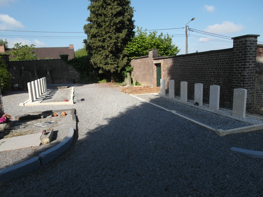
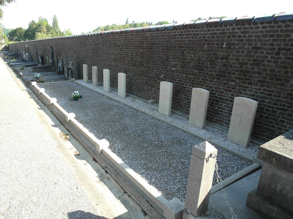
- Total identified casualties 15 Find these casualties
- Region Brabant Wallon
- Identified casualties from First & Second World War
- GPS Coordinates Latitude: 50.71774, Longitude: 4.62457
Location information
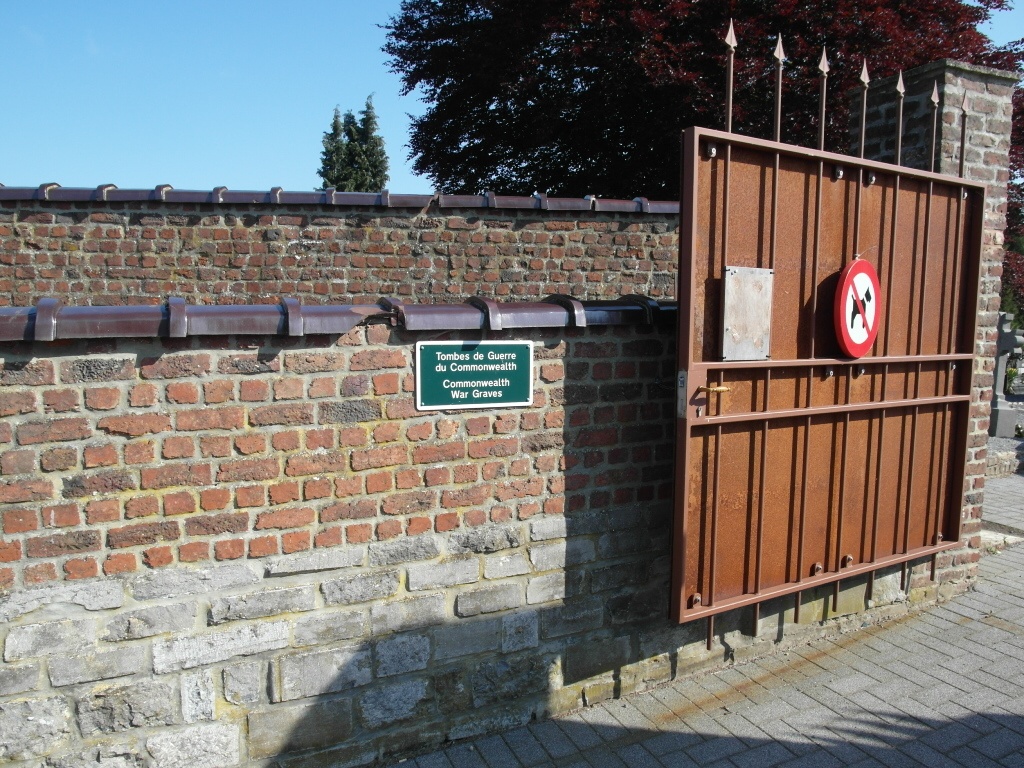
The town of Wavre is located south-east of Brussel on the E411 motorway which runs between Brussel and Namur. From the motorway E411 turn off at junction 6 Wavre and onto the N268 direction Louvain, after the junction with the N4 take the third turning right called Avenue St-Job and then the second turning right called Avenue Du Belloy. The cemetery is along here on the left. The graves are located in two plots, WW1 graves are in the centre of the rear wall and WW2 graves are behind the cemetery stores.
History information
The British Expeditionary Force was involved in the later stages of the defence of Belgium following the German invasion in May 1940, and suffered many casualties in covering the withdrawal to Dunkirk. Commonwealth forces did not return until September 1944, but in the intervening years, many airmen were shot down or crashed in raids on strategic objectives in Belgium, or while returning from missions over Germany. Wavre Communal Cemetery contains 13 Commonwealth burials of the Second World War, three of them unidentified. There are also, against the East wall, seven First World War burials, mostly of men who died after the Armistice. Two of these are unidentifed.