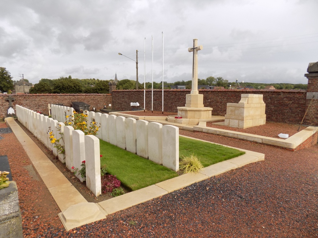
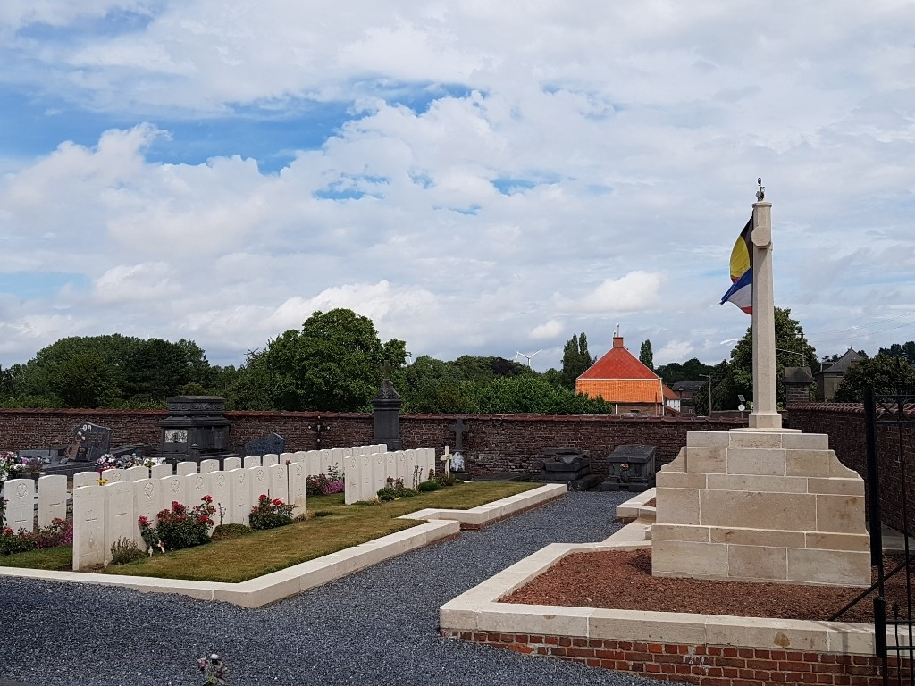
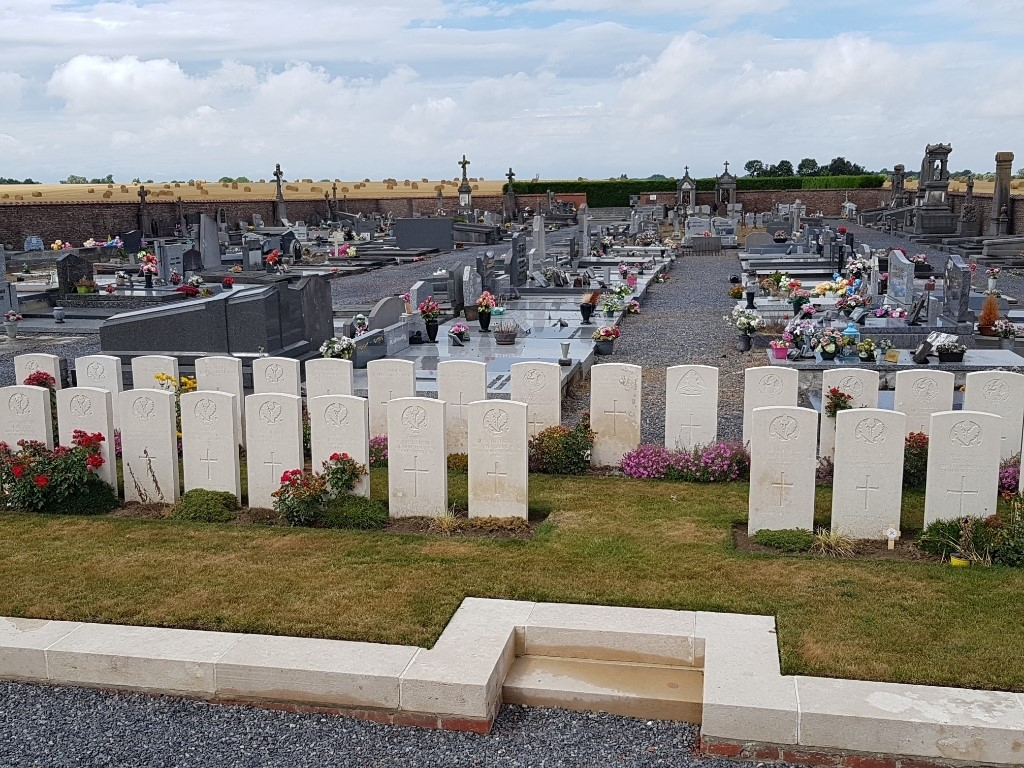
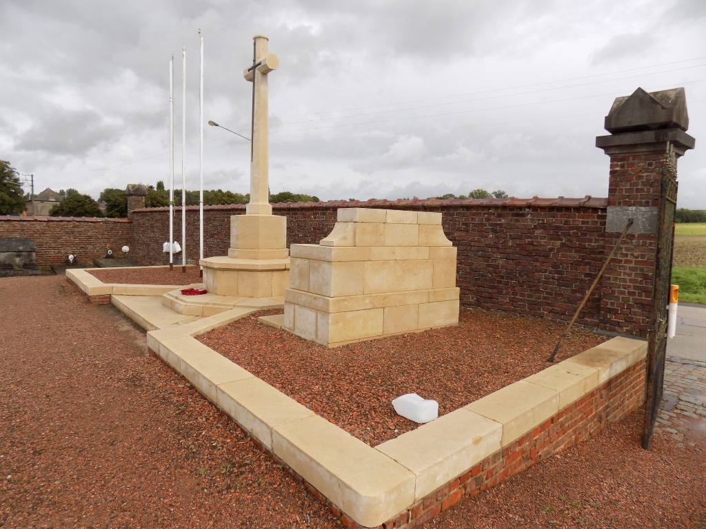
Audregnies Communal Cemetery
- Country Belgium
- Total identified casualties 8 Find these casualties
- Region Hainaut
- Identified casualties from First World War
- GPS Coordinates Latitude: 50.38067, Longitude: 3.71406
Location information
Audregnies Communal Cemetery is located 22 kilometres south west of Mons on a road leading from the N51 connecting Mons to Valenciennes in France. 19 kilometres along the N51 lies the left hand turning at Quievrain onto the rue des Wagons. 4 kilometres along the rue des Wagons, after passing through Baisieux, lies the village of Audregnies. On reaching the village the cemetery is located 800 metres along the rue la Ville, a road leading from Audregnies to Angre.
Visiting information
Visitors should note that this site is restricted to normal cemetery opening hours. Wheelchair access possible via main entrance. For further information regarding wheelchair access, please contact our Enquiries Section on telephone number 01628 507200.
History information
All of those buried in the Commonwealth plot in the communal cemetery died on 24 August 1914. They were originally buried on the battlefields and most belonged to the 1st Cheshire Regiment. The cemetery contains 40 Commonwealth burials of the First World War, 32 of which are unidentified. There is also one French war grave.