Elouges Communal Cemetery
- Country Belgium
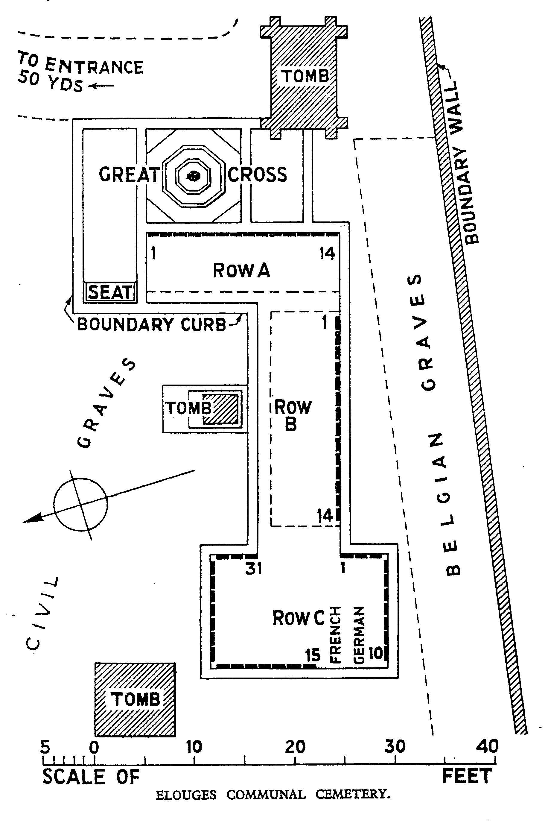
- Total identified casualties 55 Find these casualties
- Region Hainaut
- Identified casualties from First World War
- GPS Coordinates Latitude: 50.404, Longitude: 3.75047
Location information
Elouges Communal Cemetery is located 17 km west of Mons. From Mons the N51 Route de Quievrain leads for 14 km to the left hand junction onto the N552 Rue D'Elouges. 2 km along the N552 lies the village of Elouges. The cemetery is located 200 metres along the rue du Commerce, a road leading from the village square.
Visiting information
Visitors should note that this site is restricted to normal cemetery opening hours.
Wheelchair access possible via main entrance.
For further information regarding wheelchair access, please contact our Enquiries Department on telephone number: 01628 634221
History information
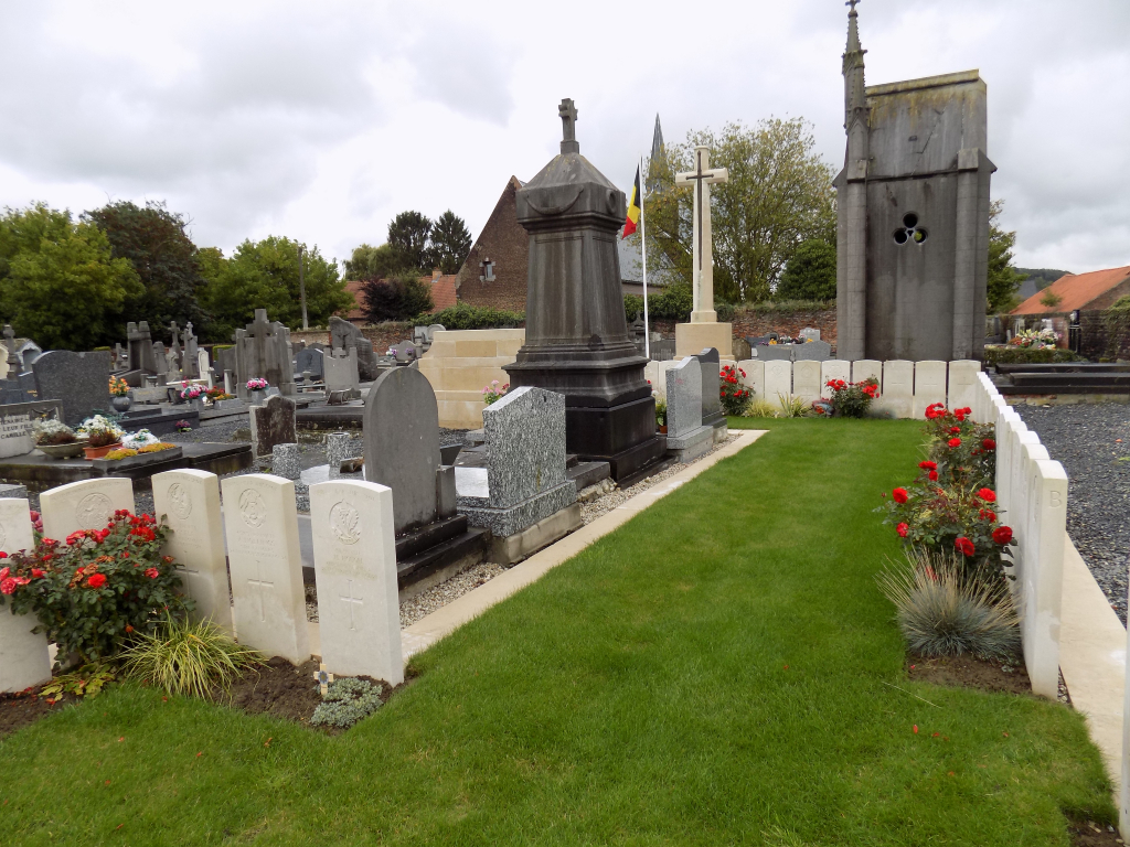
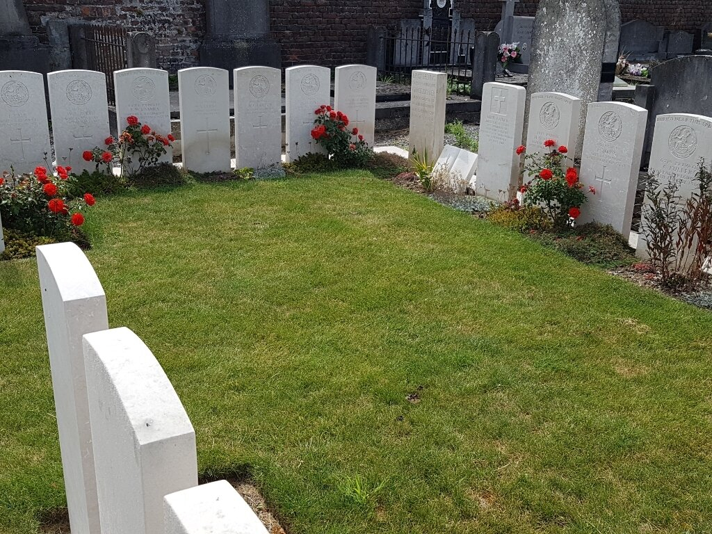
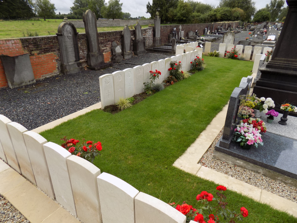
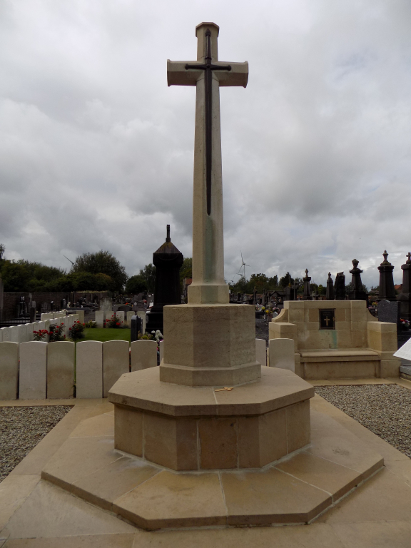
Elouges village and commune was the scene of the Action of Elouges (24 August 1914), in which the Germans were held in check by units of the 2nd Cavalry and 15th Infantry Brigades. It was not retaken by Canadian troops until just before the Armistice. The communal cemetery contains 55 Commonwealth burials of the First World War, three of them unidentified. The 1914 burials, in rows A and C, were mainly from the 5th Division; they are in trench graves, and the actual position of each body in the row is not known. There are also four war graves of other nationalities in the Commonwealth plot.