Jemappes Communal Cemetery
- Country Belgium
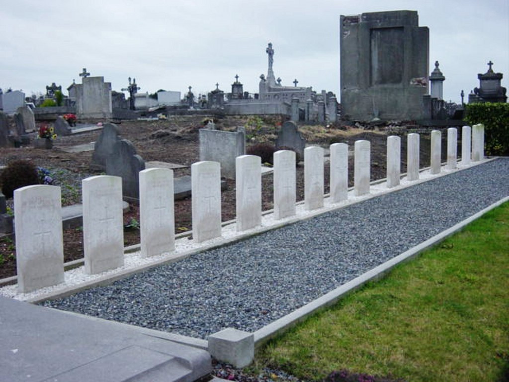
- Total identified casualties 9 Find these casualties
- Region Hainaut
- Identified casualties from First World War
- GPS Coordinates Latitude: 50.44496, Longitude: 3.8936


Location information
The village of Jemappes is located south-west of Mons off the R5 ring. From the E19 motorway turn off at junction 24a and onto the ring R5. Follow the ring to the junction with the N51, turn left onto the N51 direction Jemappes. Follow the N51 into Jemappes and turn left into rue des Trois Hurees, then left into rue de l'Argilliere and the cemetery is along on the left. The graves are located along the centre path behind a hedge past the centre island.
History information
Jemappes Communal Cemetery contains 18 Commonwealth burials of the First World War, nine of which are unidentified. All date from August 1914 or November 1918, and in most cases they were brought into the cemetery after the Armistice.