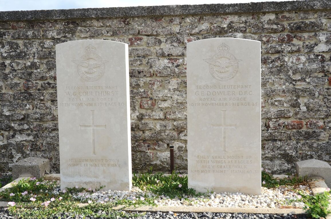
Montbliart Communal Cemetery
- Country Belgium
- Total identified casualties 2 Find these casualties
- Region Hainaut
- Identified casualties from First World War
- GPS Coordinates Latitude: 50.13537, Longitude: 4.22788
Location information
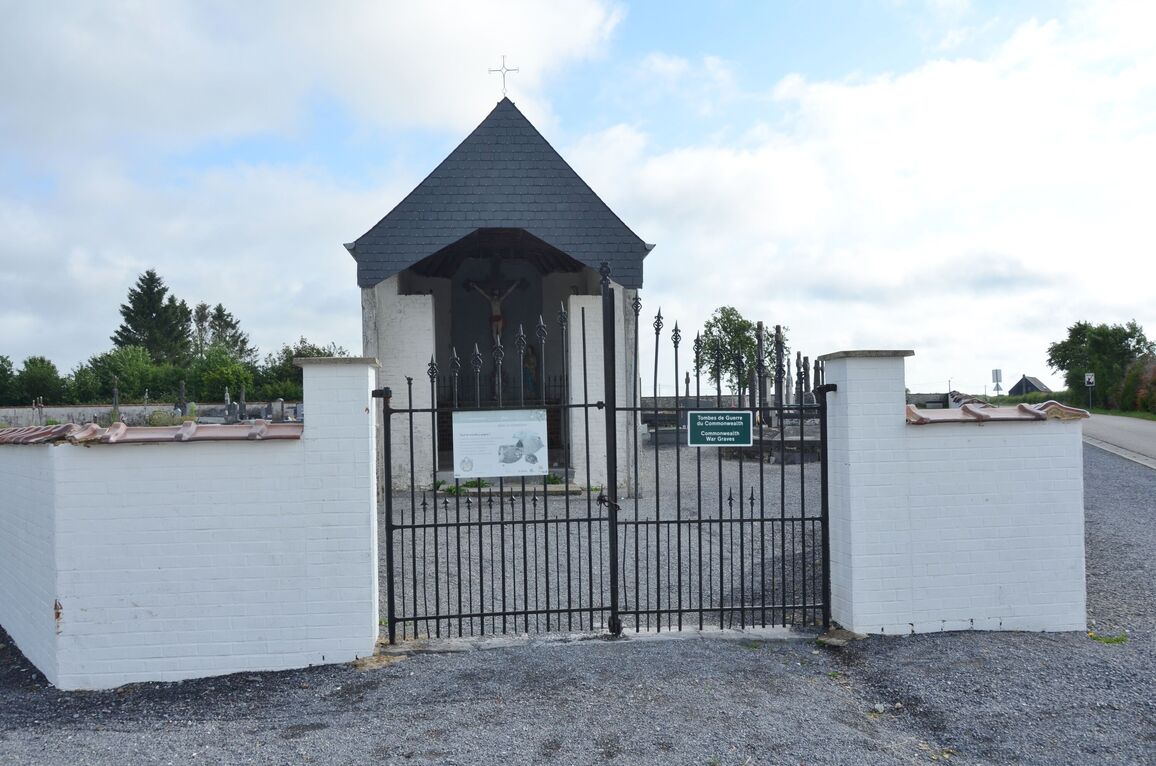
The village of Montbliart is located south of the town of Thuin off the N53. From the motorway E42 turn off at the junction with the ring R3, then follow the R3 to junction 4, the N579. Follow the N579, direction Beaumont, to the junction with the N53. Continue along the N53, direction Beaumont. Follow the N53 through Beaumont to the village of Rance, turn right by the church along rue des Desportes then turn third left along rue du onze Novembre toward Montbliart. On entering the village the cemetery is on the right by the junction with rue de Grand Chemin. The graves are located at the rear of the cemetery.
History information
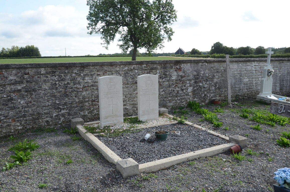
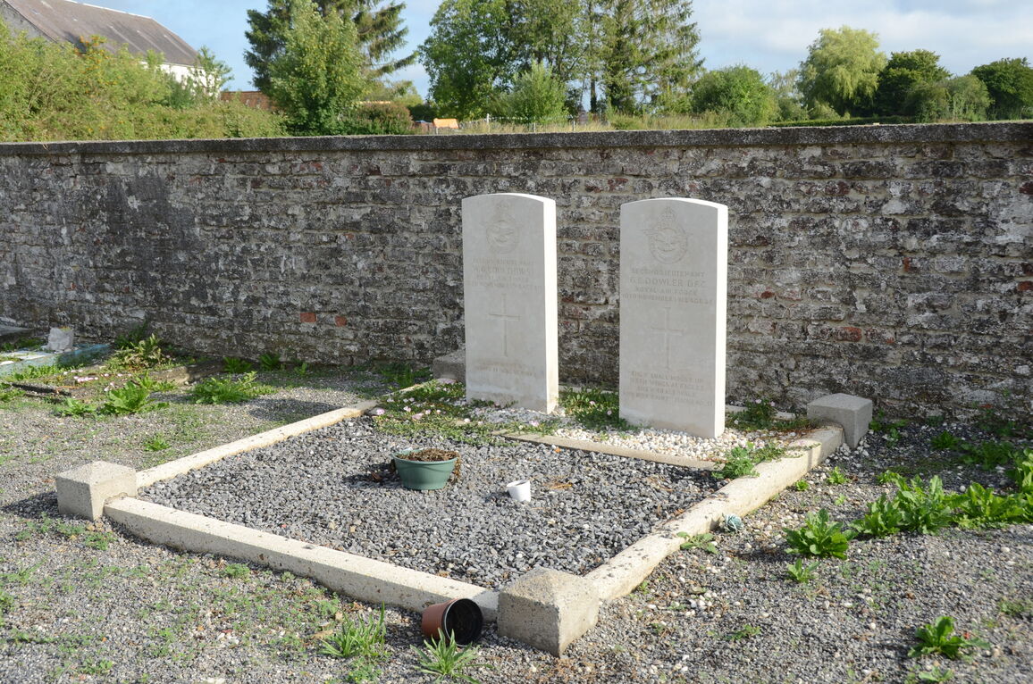
Montbliart Communal Cemetery contains two Commonwealth burials of the First World War.