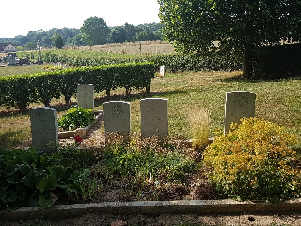
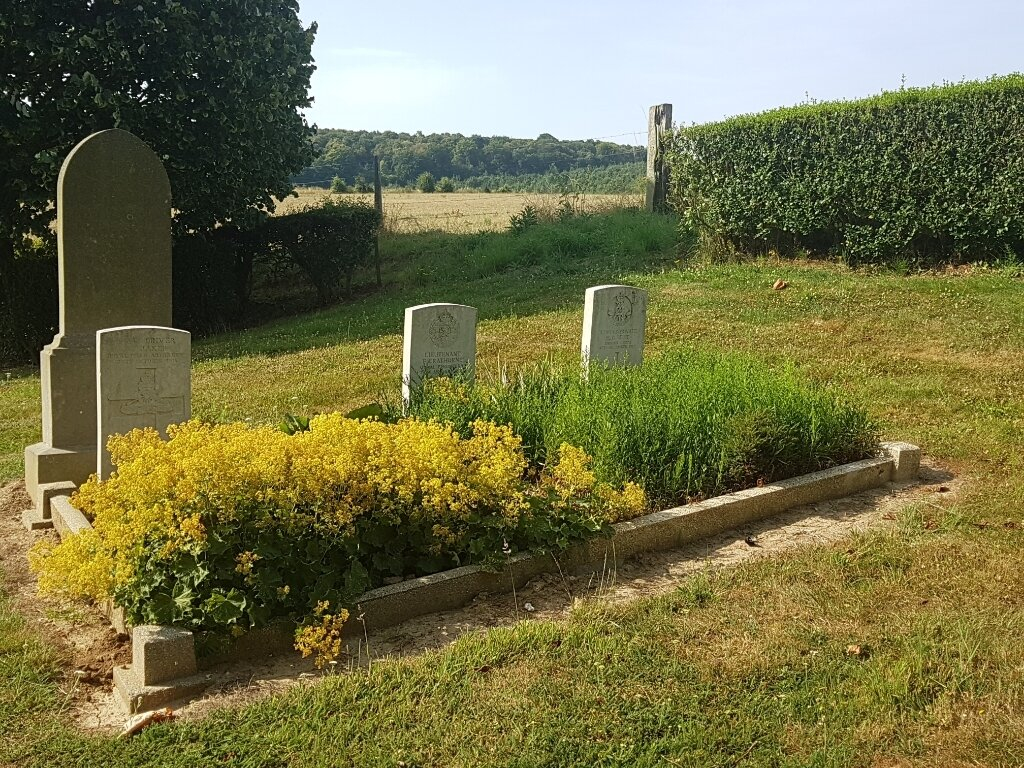
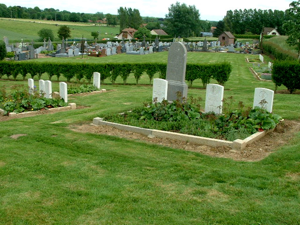
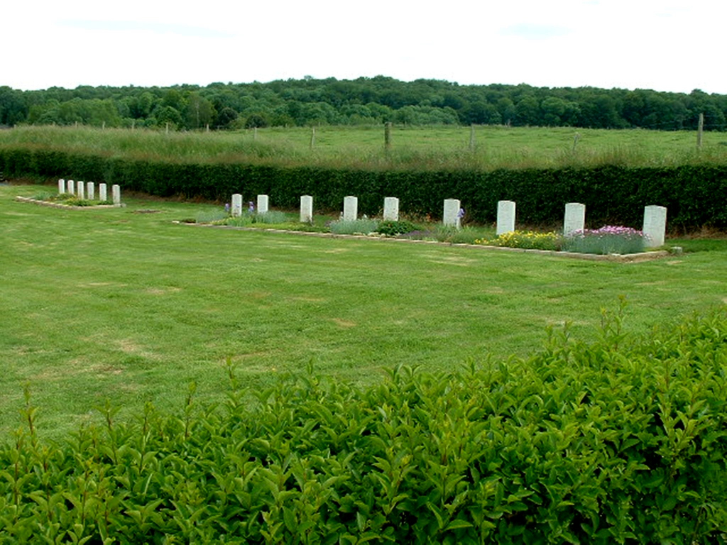
Toutencourt Communal Cemetery
- Country France
- Total identified casualties 24 Find these casualties
- Region Somme
- Identified casualties from First World War
- GPS Coordinates Latitude: 50.03886, Longitude: 2.45107
PLEASE NOTE
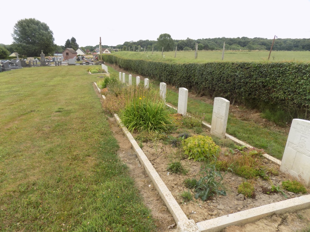
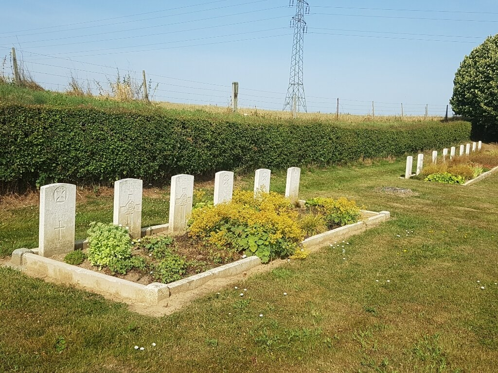
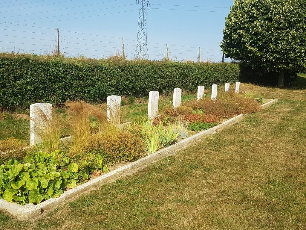
The square around the headstones is currently being renovated. New plants will be planted by April 2023. The horticultural work will not interfere with access to the headstones in any way.
We apologize for any convenience.
Location information
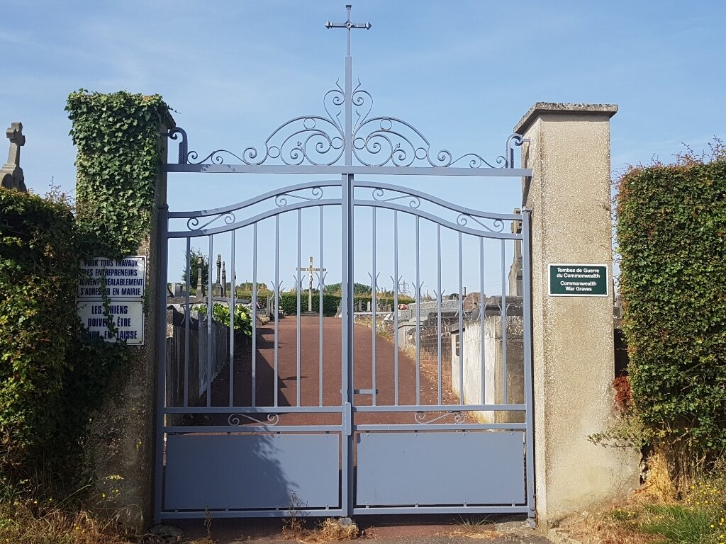
Toutencourt is found halfway along the D23, Doullens to Corbie road, 18 kilometres south-east of Doullens. The Communal Cemetery is at the entrance to the village along this road from Doullens.
Download Cemetery Plan
History information
Burials were made in this communal cemetery between October 1915 and August 1918. The cemetery contains 23 Commonwealth burials of the First World War.