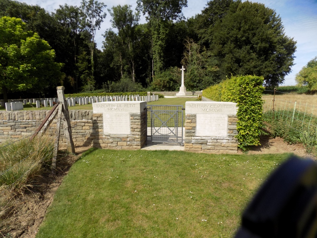
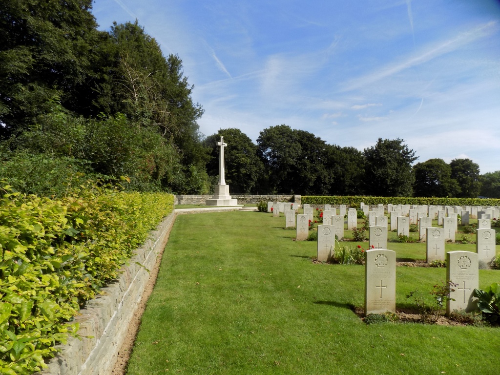
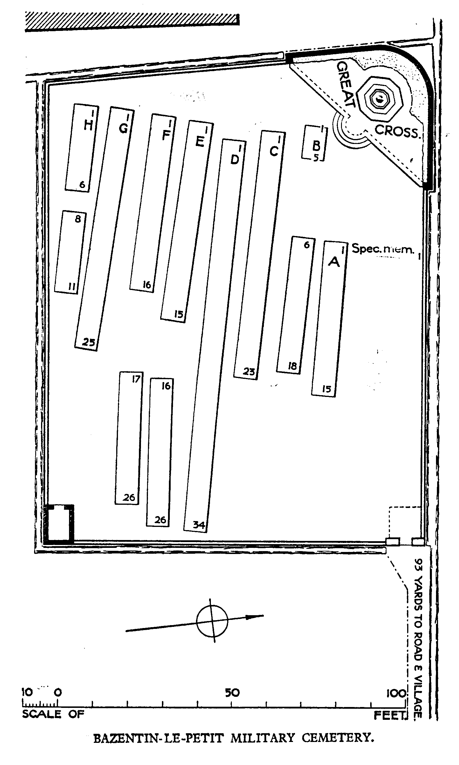
Bazentin-Le-Petit Military Cemetery
- Country France
- Total identified casualties 168 Find these casualties
- Region Somme
- Identified casualties from First World War
- GPS Coordinates Latitude: 50.03267, Longitude: 2.76022
Location information
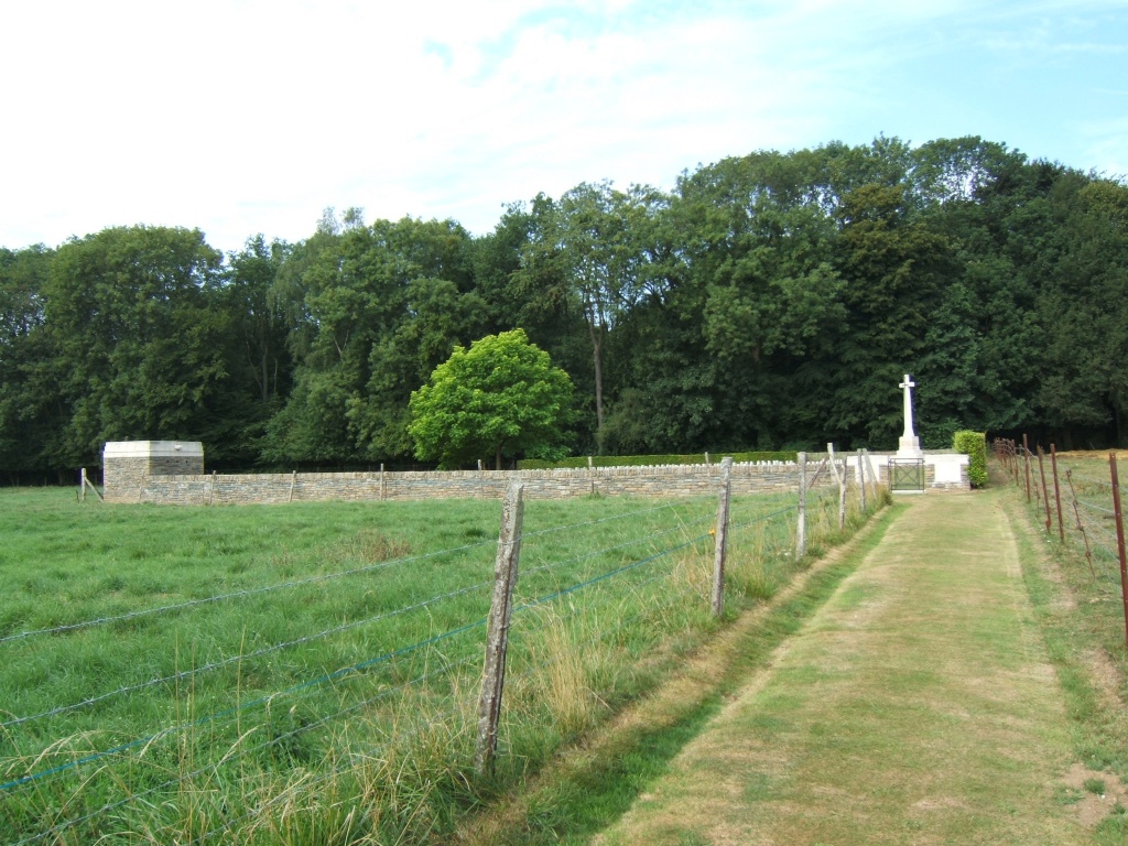
Bazentin is in the Department of the Somme, to the north-east of Albert, containing the villages of Bazentin-le-Grand and Bazentin-le-Petit. Take the D929 (Albert-Bapaume road) from Albert and travel 8 Kms. In the village of Pozieres, turn south onto the D73 to Bazentin and the village of Bazentin-le-Petit is 3 Kms further on. The Military Cemetery will be found on the west side of the village.
History information
Bazentin was in German hands until 14 July 1916 when the 3rd and 7th Divisions captured the two villages (and the communal cemetery) and held them against counter-attacks, and the 21st Division captured Bazentin-le-Petit Wood. The ground was lost in April 1918 during the great German advance but recaptured on the following 25 August by the 38th (Welsh) Division.
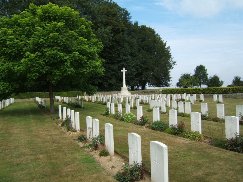
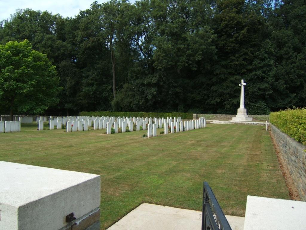
The military cemetery was begun at the end of July 1916 (initially called Singer Circus Cemetery) and used as a front-line cemetery until May 1917. It contains 182 First World War burials, 15 of them unidentified.