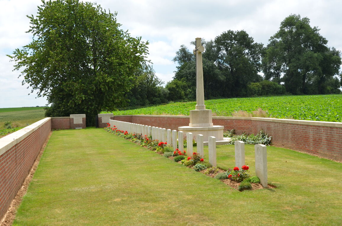
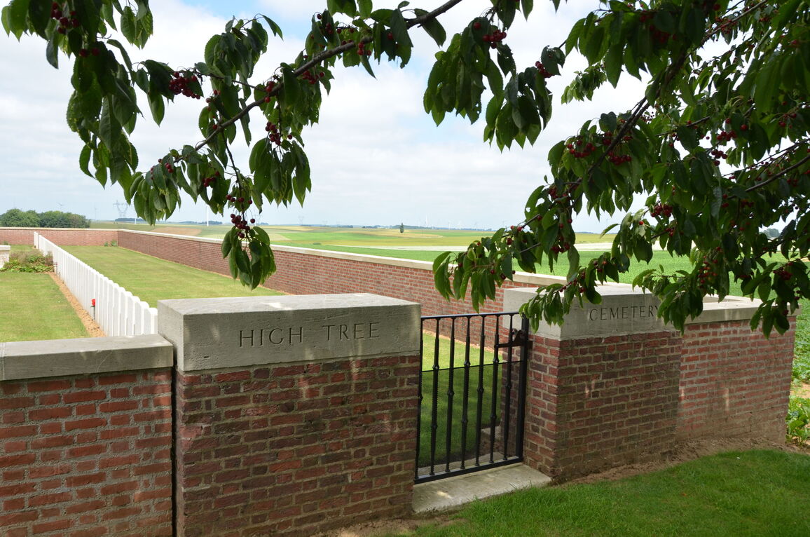
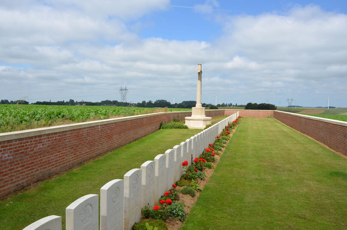
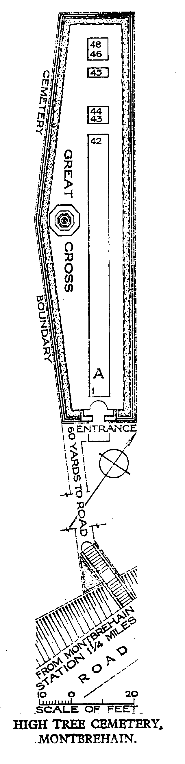
High Tree Cemetery, Montbrehain
- Country France
- Total identified casualties 45 Find these casualties
- Region Aisne
- Identified casualties from First World War
- GPS Coordinates Latitude: 49.96254, Longitude: 3.36811
Location information
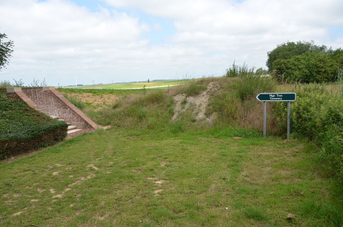
Montbrehain is a village situated in the north-western sector of the Department of the Aisne, 10 kilometres south-west of Bohain on the D28. High Tree Cemetery is 1 kilometre west of Montbrehain and is first signposted at the lower part of the village at the junction of the D28 and D283. Proceed some 100 metres after this first signpost along the D28 in the direction of Bohain before being directed along the D705, Fresnoy Le Grand. 500 metres along this road the third and final signpost will point directly towards the cemetery, which is invisible from the road as it lies at the bottom of a rough farm track.
Visiting information
The location or design of this cemetery makes wheelchair access impossible. For further information regarding wheelchair access, please contact our Enquiries Section on 01628 507200.
History information
The village of Montbrehain was taken on the 3rd October, 1918, by three battalions of the Sherwood Foresters of the 46th Division, but it could not be held at the time; it was finally captured by the 21st and 24th Australian Infantry Battalions two days later.
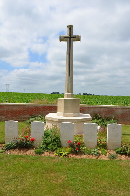
This cemetery contains the graves of 48 casualties of the First World War, three of which are unidentified.
The cemetery was designed by W H Cowlishaw.