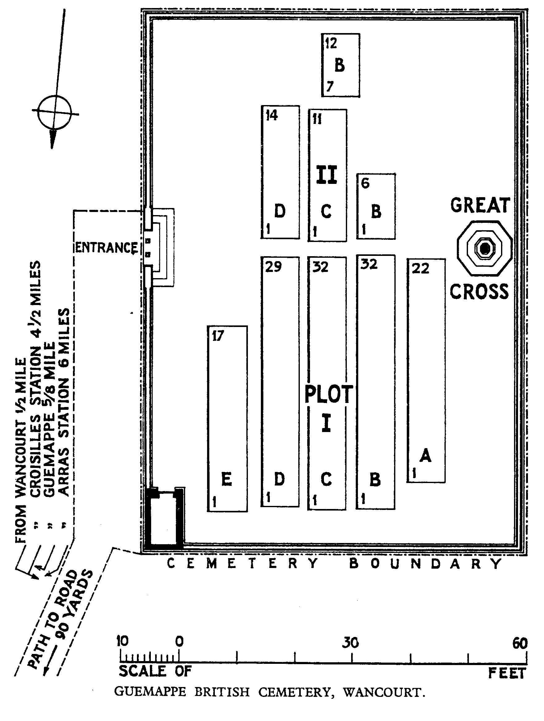
Guemappe British Cemetery, Wancourt
- Country France
- Total identified casualties 163 Find these casualties
- Region Pas de Calais
- Identified casualties from First World War
- GPS Coordinates Latitude: 50.25188, Longitude: 2.87833
PLEASE NOTE
Maintenance work is currently in progress. The site will remain open and accessible during this time. We apologise for any inconvenience caused.
Location information
Wancourt is a village about 8 kilometres south-east of Arras, and Guemappe British Cemetery is about 1 kilometre north-east of the village, to the south of the junction of the roads to Monchy-le-Preux and Guemappe (D34).
Visiting information
The location or design of this site makes wheelchair access impossible.
For further information regarding wheelchair access, please contact our enquiries department on 01628 634221.
History information
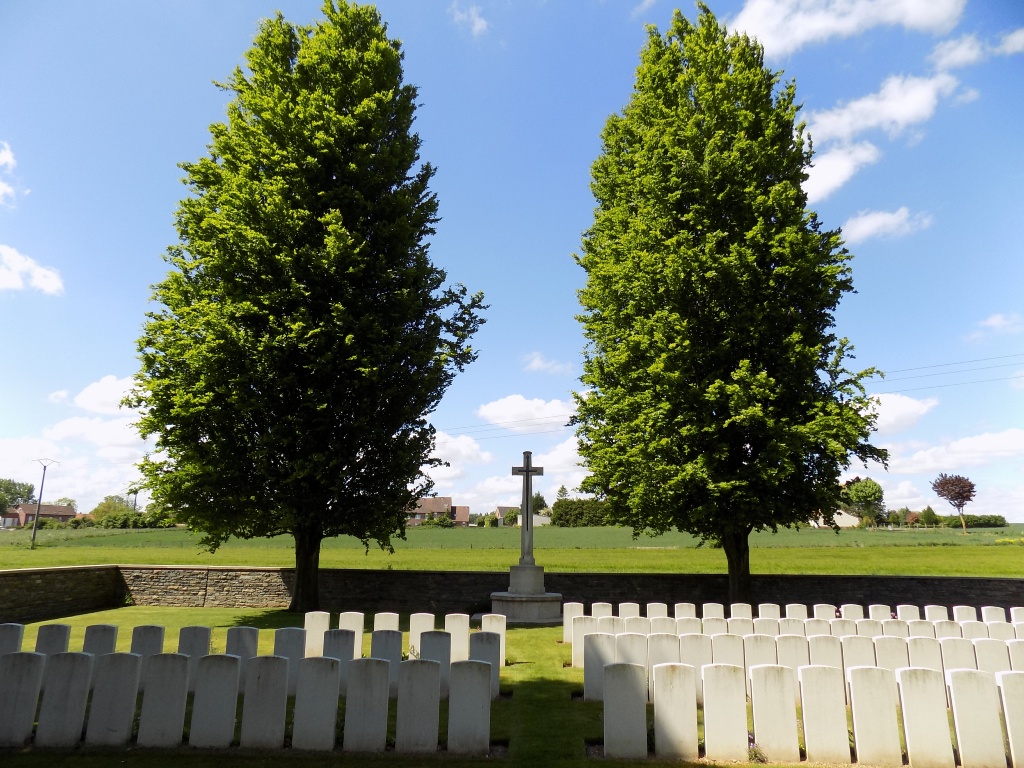
Guemappe was captured by the 15th (Scottish) Division on 23 and 24 April 1917, twelve days after Wancourt. It was lost on 23 March 1918 and retaken by the Canadian Corps on the following 26 August.
Guemappe British Cemetery was begun by the 15th (Scottish) Division after the capture of Guemappe, and used by fighting units until January 1918. It was severely damaged by shell-fire in 1918.
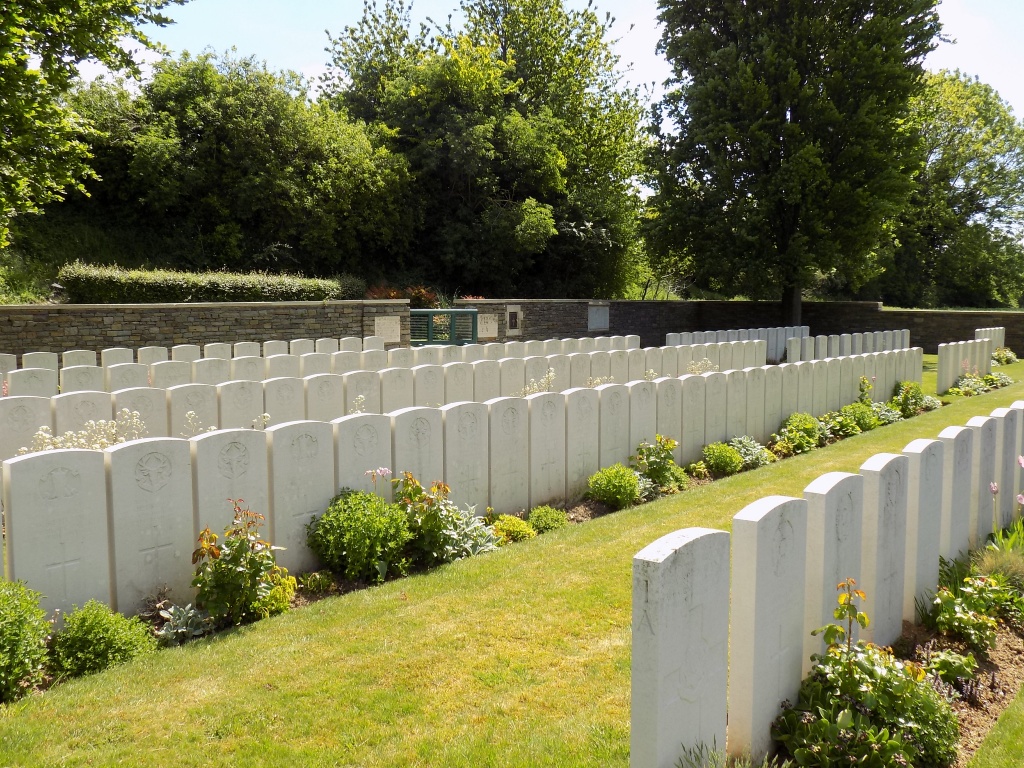
The cemetery contains 169 burials of the First World War, six of them unidentified.