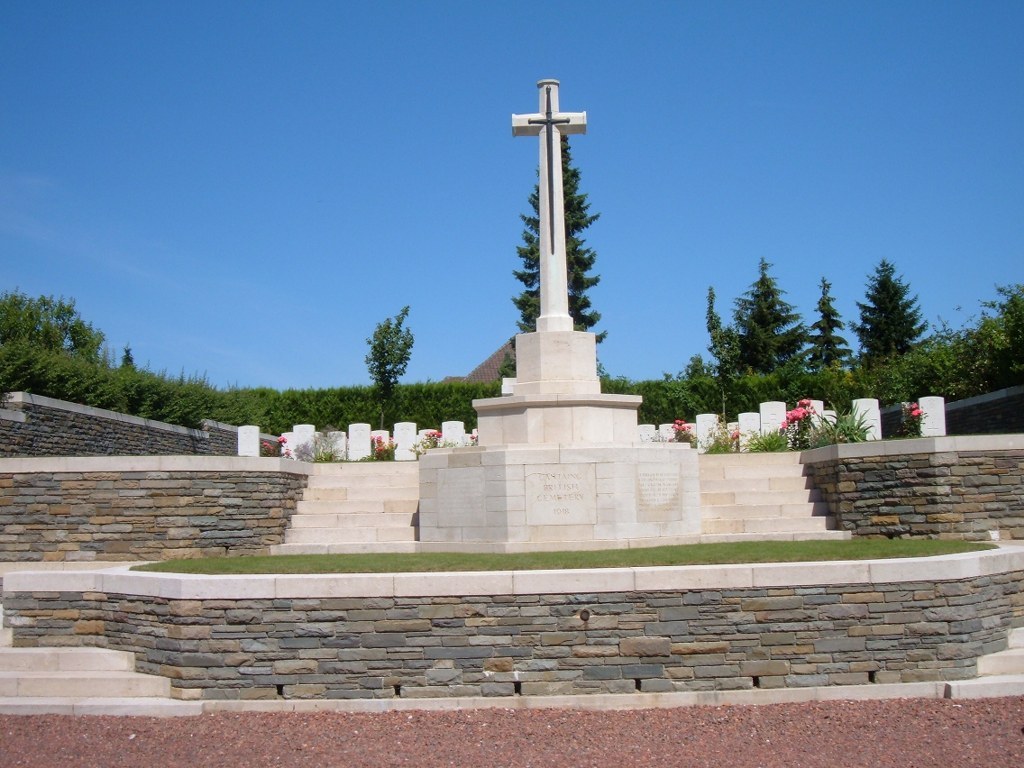
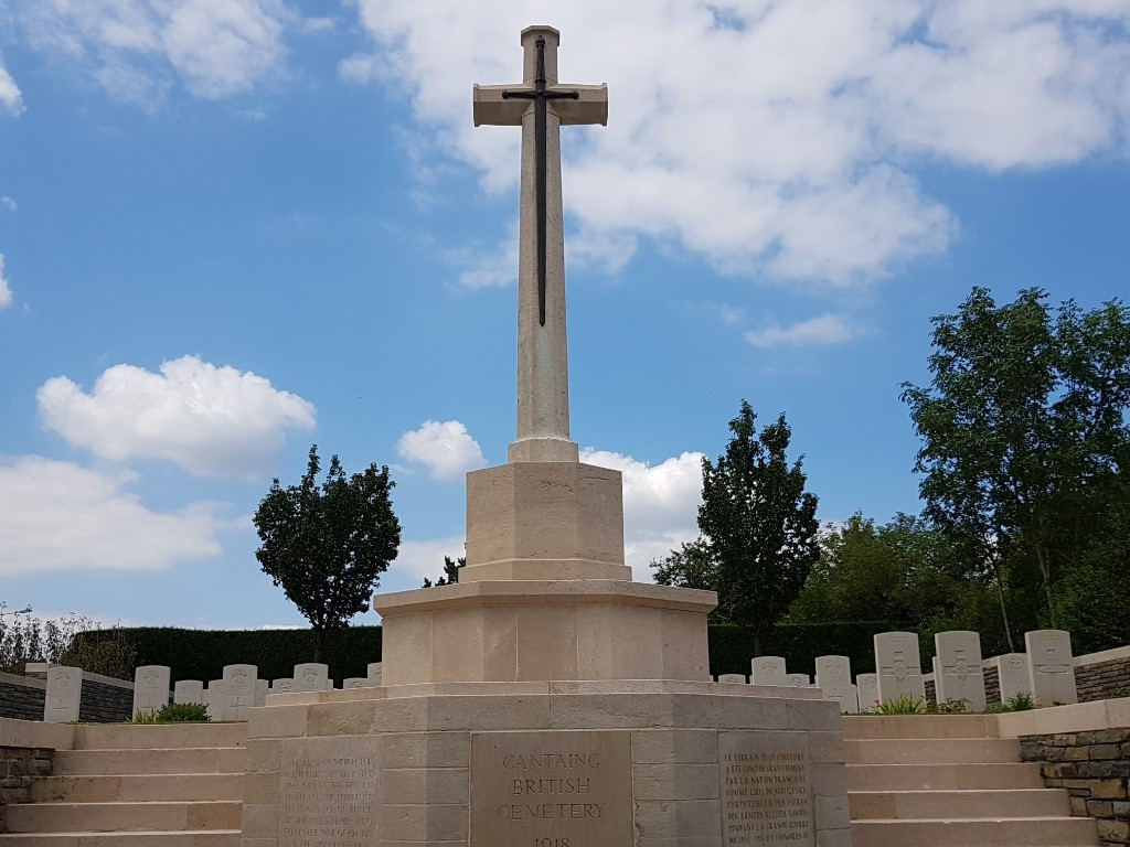
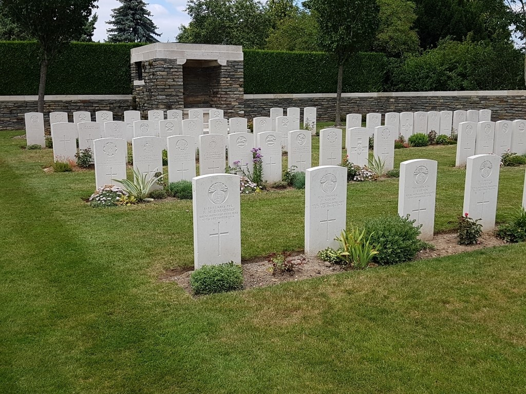
Cantaing British Cemetery
- Country France
- Total identified casualties 63 Find these casualties
- Region Nord
- Identified casualties from First World War
- GPS Coordinates Latitude: 50.15119, Longitude: 3.16985
Please note
Please be aware that there are ledges from which it is possible to fall, if visiting with small children, please ensure they are supervised at all times.
Location information
The village of Cantaing is approximately 5 kilometres south-west of Cambrai. The cemetery is up a high bank from the road on the corner of the D.142 and D.92 in the direction of Cambrai.
Visiting information
The location or design of this site makes wheelchair access very difficult. For further information regarding wheelchair access, please contact our Enquiries Section on enquiries@cwgc.org or 01628 507200.
History information
Cantaing was captured on the 21st November, 1917, by the 51st (Highland) and 6th Divisions, with Cavalry and Tanks. It was held against attack on the 1st December, but given up a few days later. It was recaptured at the end of September, 1918, and the British Cemetery was made by the 52nd Division Burial Officer immediately after.
There are now nearly 70, 1914-18 war casualties commemorated in this site. Of these, a small number are unidentified.
The cemetery covers an area of 55 square metres and is enclosed by a rubble wall on three sides.