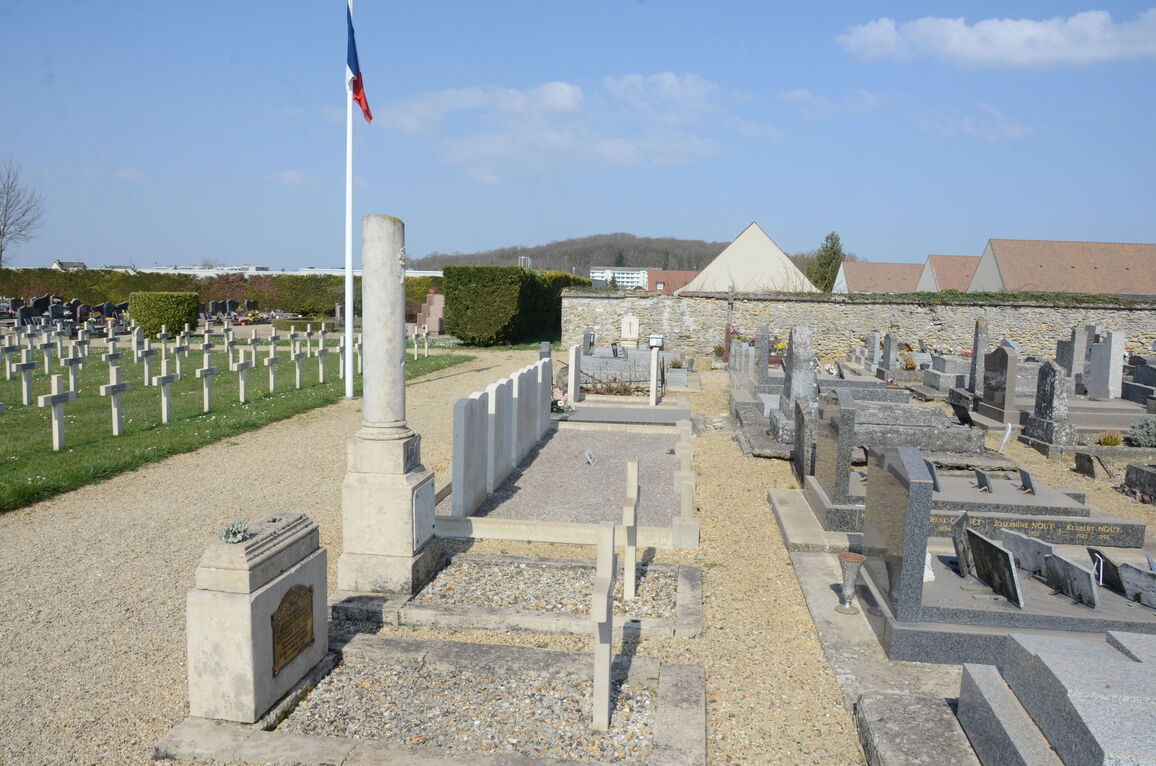
Fere-En-Tardenois Communal Cemetery
- Country France
- Total identified casualties 12 Find these casualties
- Region Aisne
- Identified casualties from First World War
- GPS Coordinates Latitude: 49.19913, Longitude: 3.51236
Location information
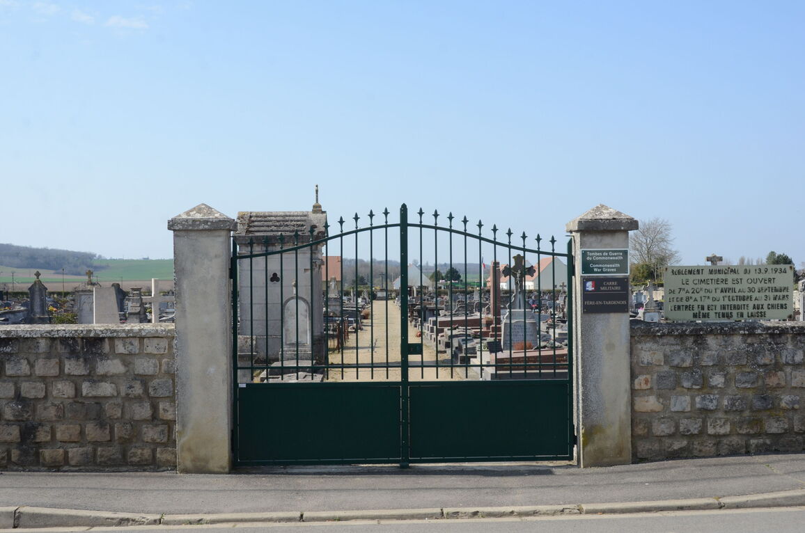
Fere-en-Tardenois Communal Cemetery is located on the west side of the town, and the CWGC Plot will be found to the rear of the cemetery. It should be noted that parking can be difficult. Fere-en-Tardenois can be reached from the Soissons direction by following the D6. When approaching the town go straight over a roundabout. At this point the road becomes the D2. On the outskirts of the town you will pass over a railway bridge before heading for the town centre. After passing factory buildings on your left, take the second right turn, a small road called Chemin De Ronde. Follow the road around to the left until reaching a road junction and turn left. The cemetery will be found a short distance along this road on the right side.
History information
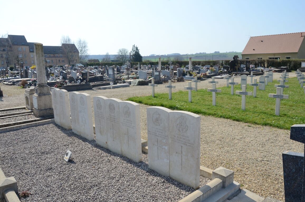
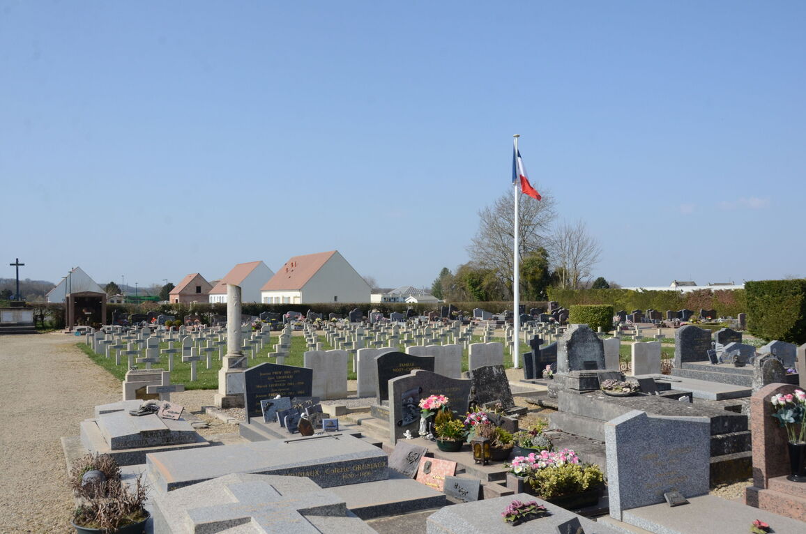
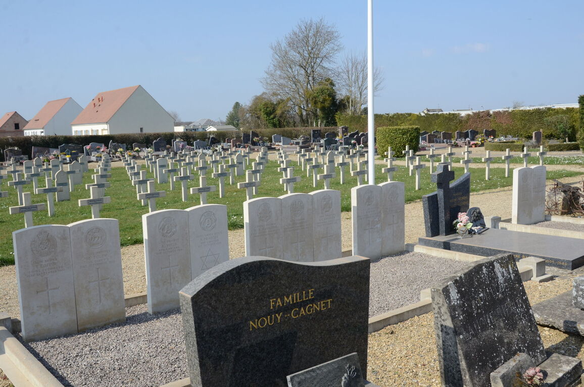
Fere-en-Tardenoise Communal Cemetery contains 13 Commonwealth burials of the First World War, one of which is unidentified.