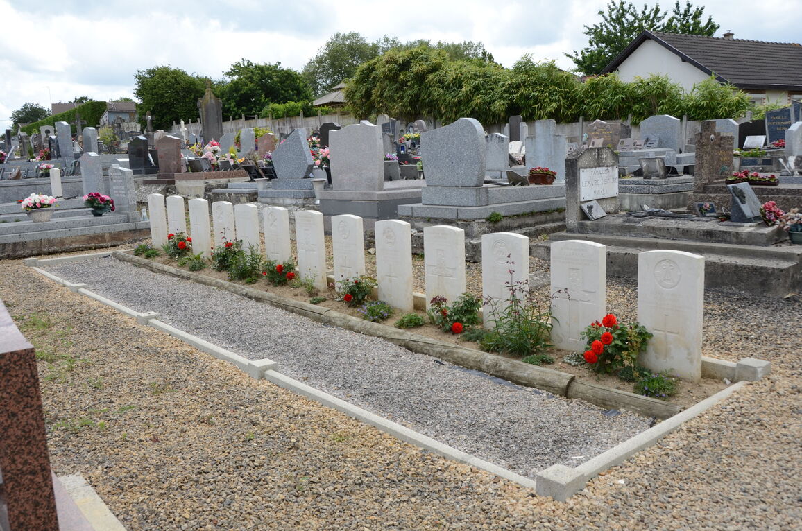
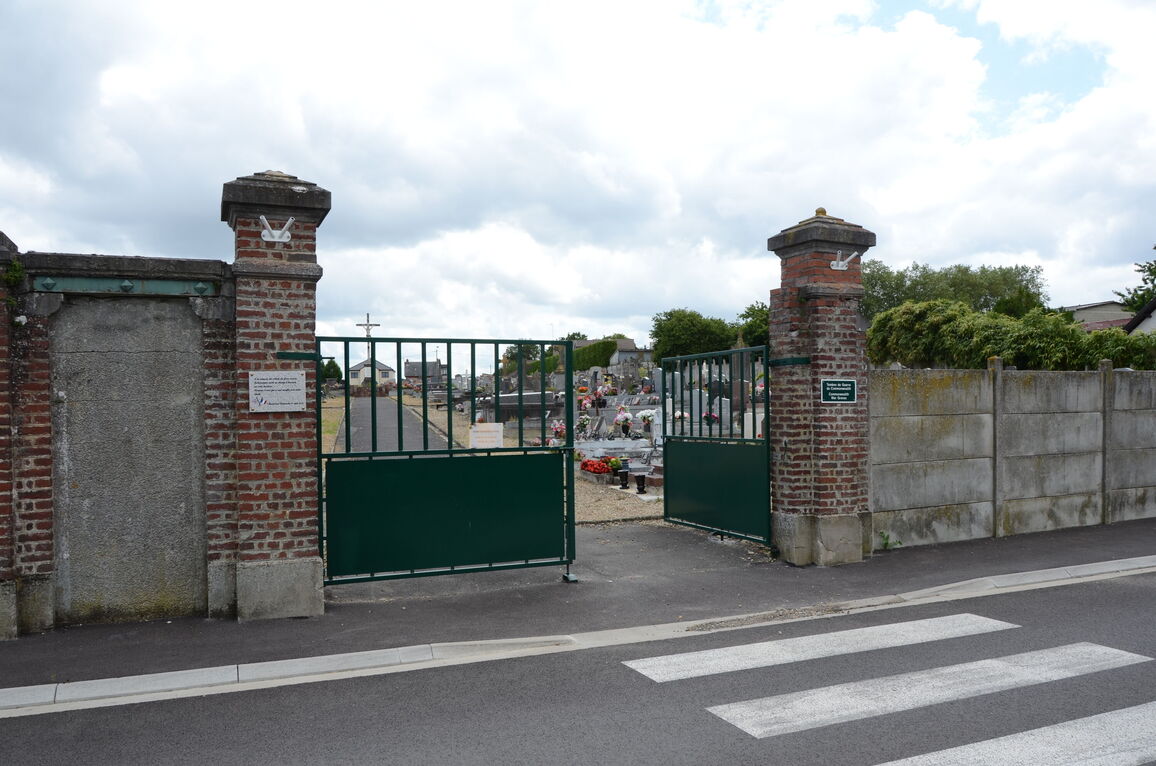
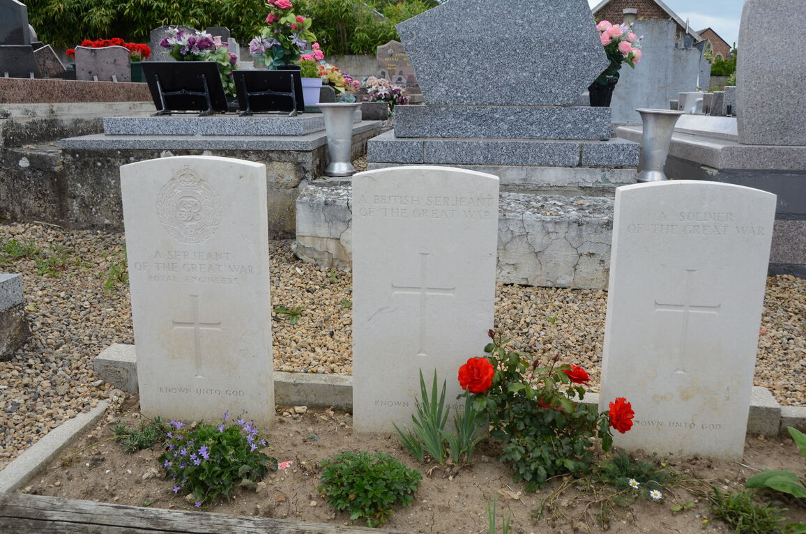
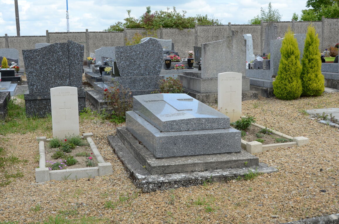
Montescourt-Lizerolles Communal Cemetery
- Country France
- Total identified casualties 22 Find these casualties
- Region Aisne
- Identified casualties from First & Second World War
- GPS Coordinates Latitude: 49.73636, Longitude: 3.26232
Location information
Montescourt-Lizerolles is in the Department of the Aisne, with two contiguous villages. It is about 12 kilometres south of St.Quentin and 13 kilometres due east of Ham. The Communal Cemetery is 800 metres south-east of the railway station.
History information
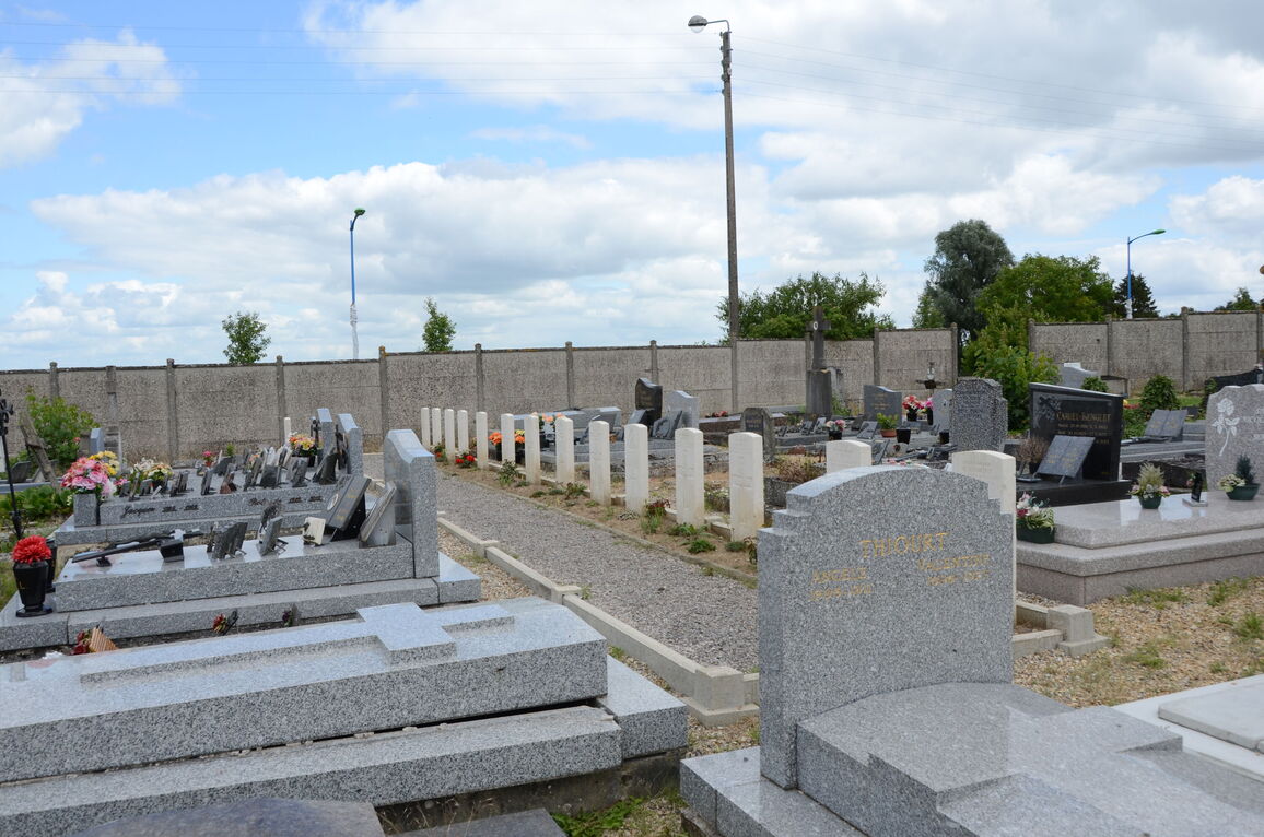
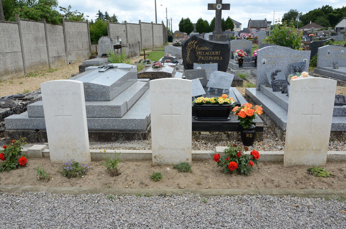
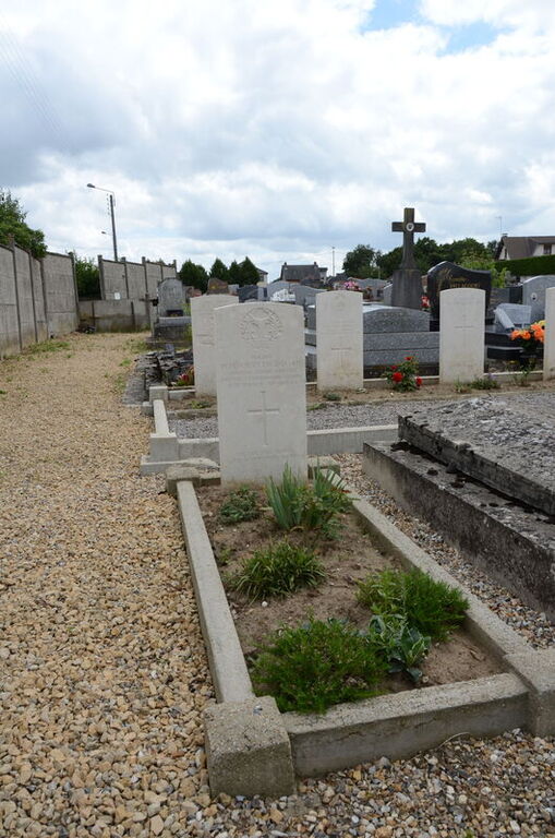
The Communal Cemetery was used by British troops in February and March, 1918, and by the Germans when they captured the place in March.
There are now 30, 1914-18 and a small number of 1939-45 war casualties commemorated in this site. Of these, nearly a quarter from the 1914-18 War are unidentified.