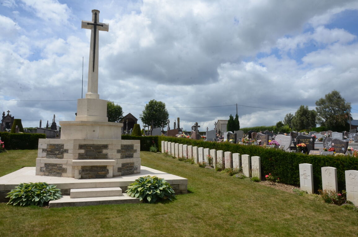
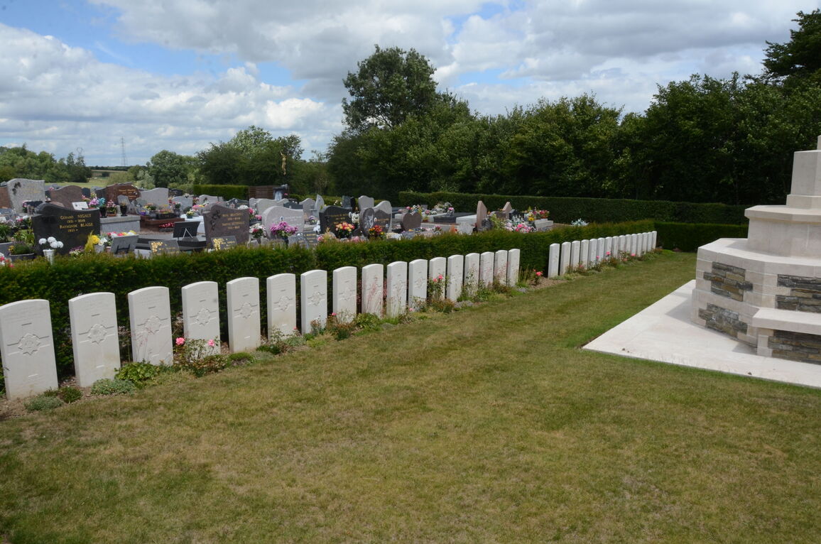
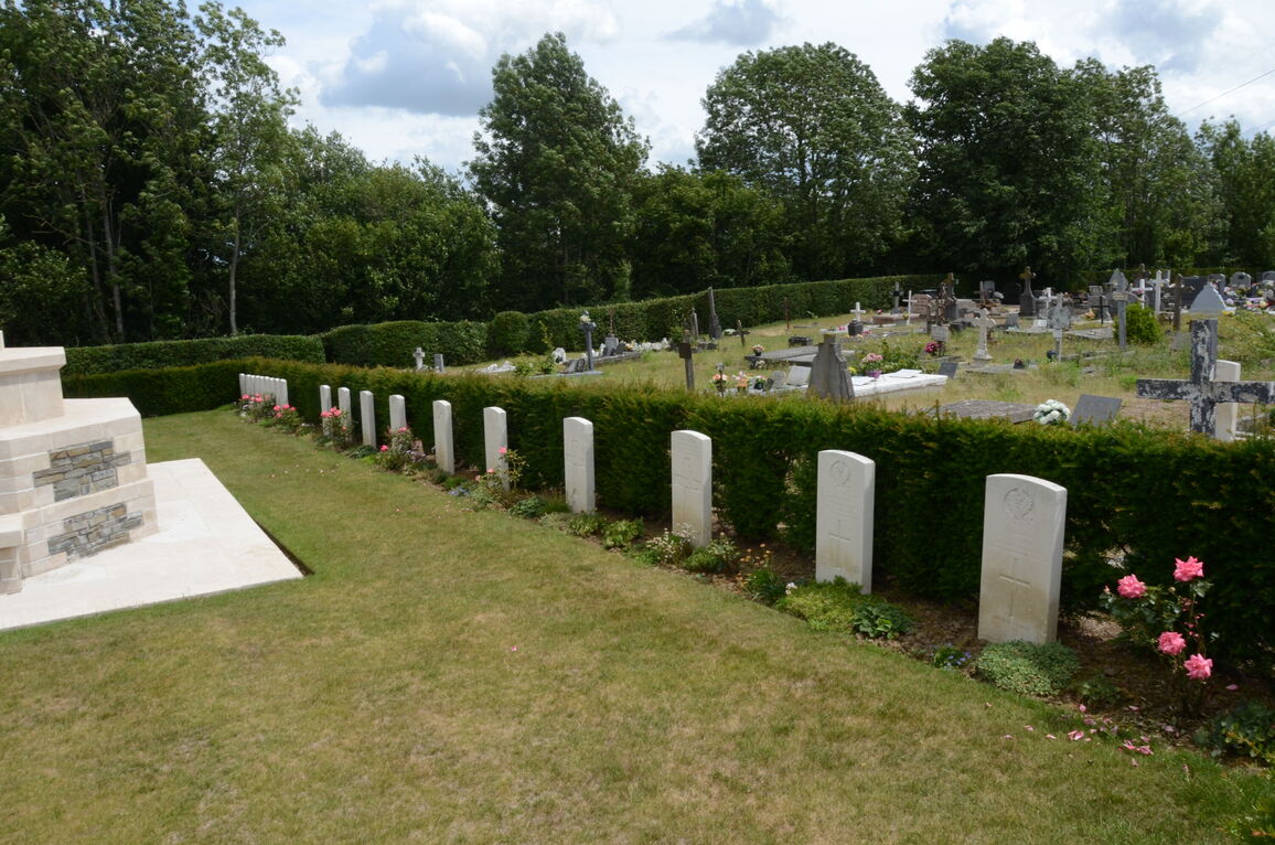
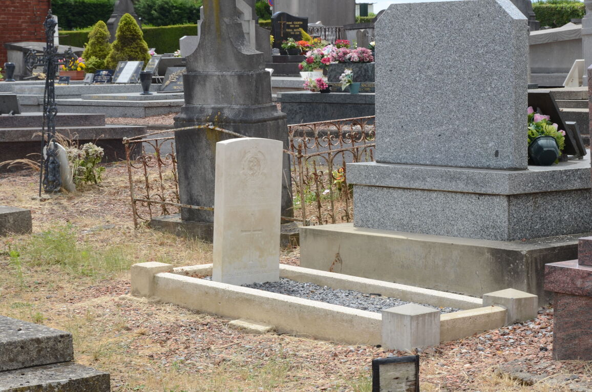
Pont-Sur-Sambre Communal Cemetery
- Country France
- Total identified casualties 53 Find these casualties
- Region Nord
- Identified casualties from First World War
- GPS Coordinates Latitude: 50.23143, Longitude: 3.8451
Location information
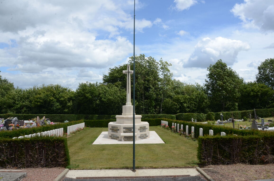
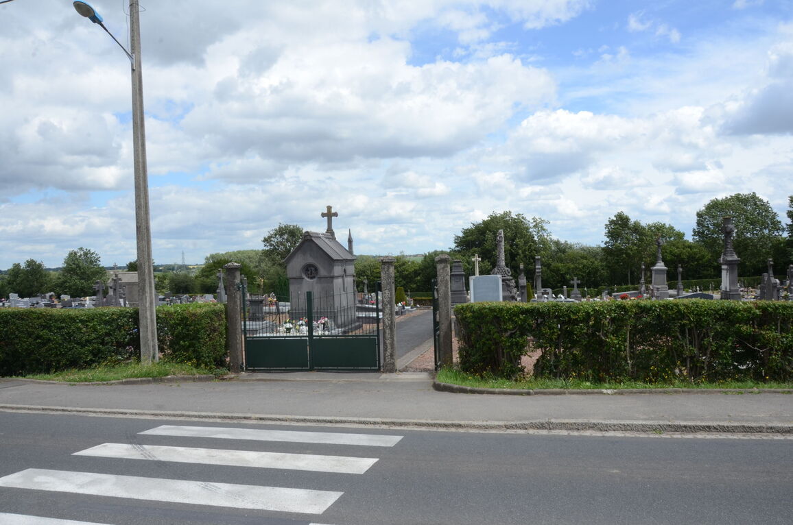
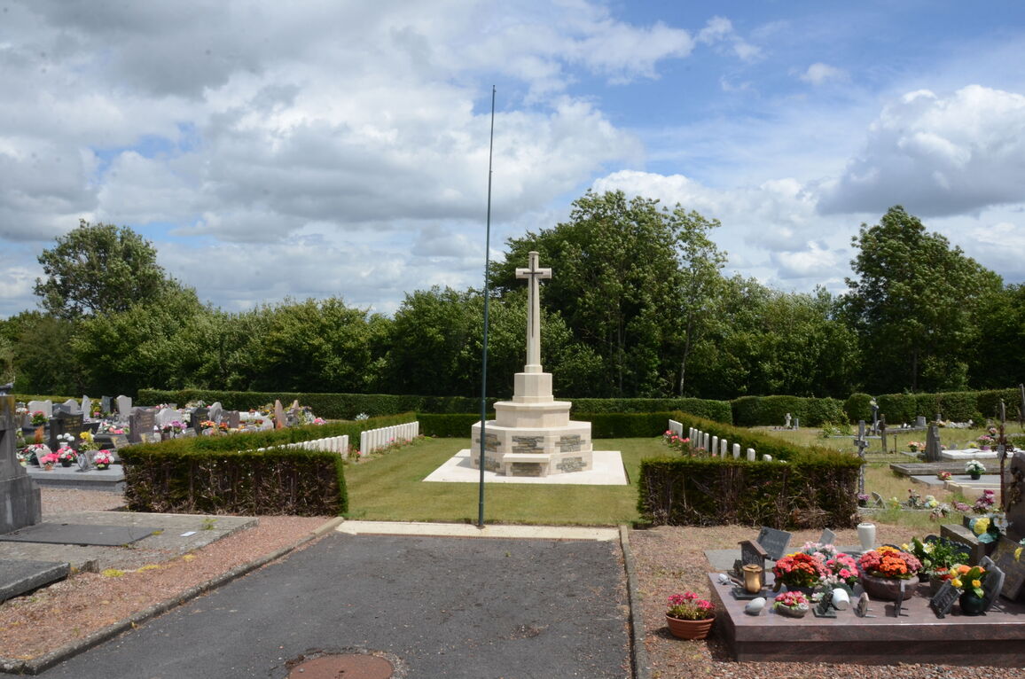
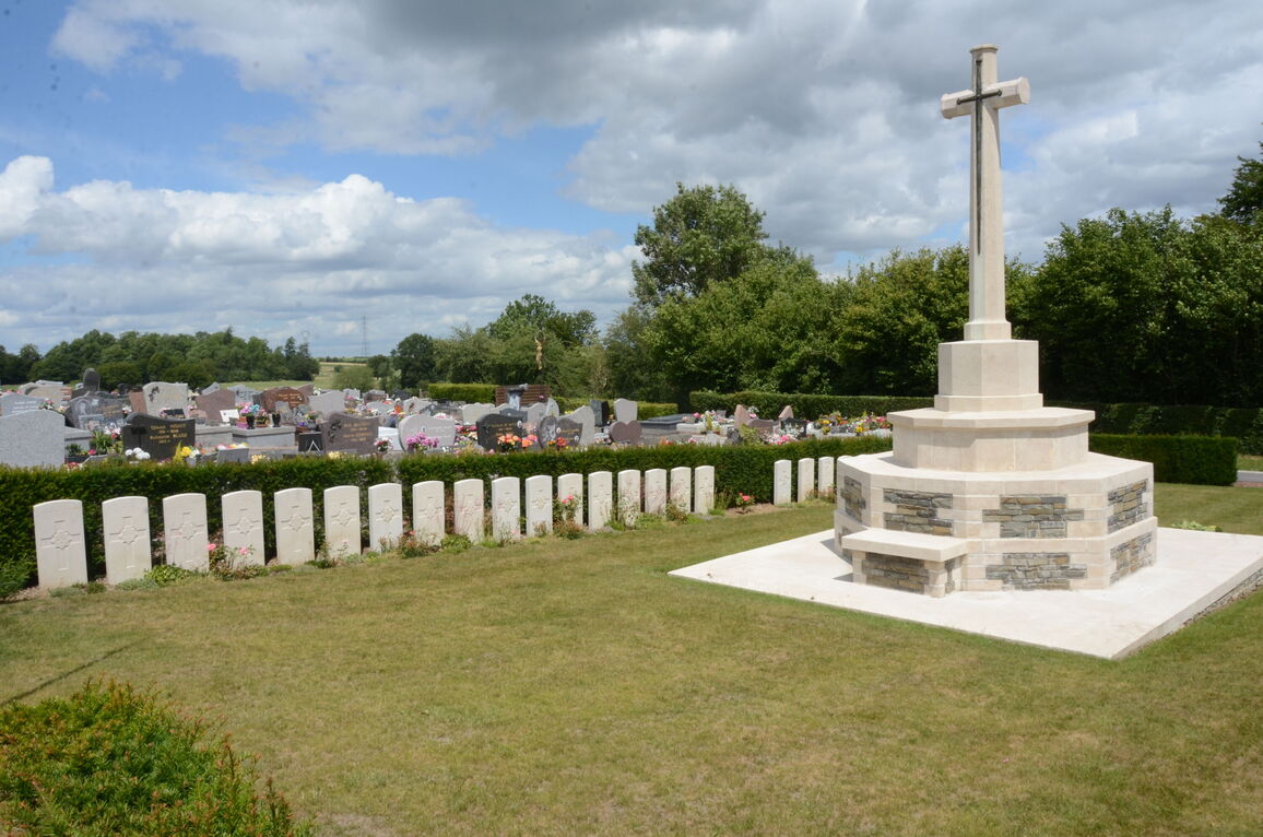
Pont-sur-Sambre is a village approximately 13 kilometres south-west of Maubeuge. The Cemetery is situated on the D117 to Hargnies, on the outskirts of the village on the east side.
Visiting information
Wheelchair access possible via main entrance.
For further information regarding wheelchair access, please contact our enquiries dept. on 01628 634221.
The register is available in the Mairie from Monday to Friday from 8.30 to 12.00 and 13.30 to 17.30 and Saturday from 9.00 to 12.00
Download Cemetery Plan
History information
Pont-sur-Sambre was in German hands for much of the First World War but was finally taken by the 1st D.C.L.I. on 5 November 1918. The communal cemetery contains 54 Commonwealth burials of the First World War, one of which is unidentified.