Masnieres British Cemetery, Marcoing
- Country France
- Total identified casualties 170 Find these casualties
- Region Nord
- Identified casualties from First World War
- GPS Coordinates Latitude: 50.12291, Longitude: 3.19922
Location information
Marcoing is a village 7 kilometres south-west of Cambrai and the village of Masnieres is 5 kilometres south-east of Marcoing. Masnieres British Cemetery is 3 kilometres due east of Marcoing in the middle of fields with access by a small track.
Visiting information
Wheelchair access is possible with some difficulty.
For further information regarding wheelchair access, please contact our enquiries department on telephone number 01628 634221.
History information
Masnieres was captured by the 29th Division on the 20th November 1917, the first day of the Battle of Cambrai. On the 30th November and the 1st December, Masnieres was held by the same Division against repeated attacks, but it was evacuated, under orders, on the night of the 1st-2nd. It was retaken on the 29th September 1918, by the 62nd (West Riding) Division.
Masnieres British Cemetery was made by the 3rd Division Burial Officer in October 1918.
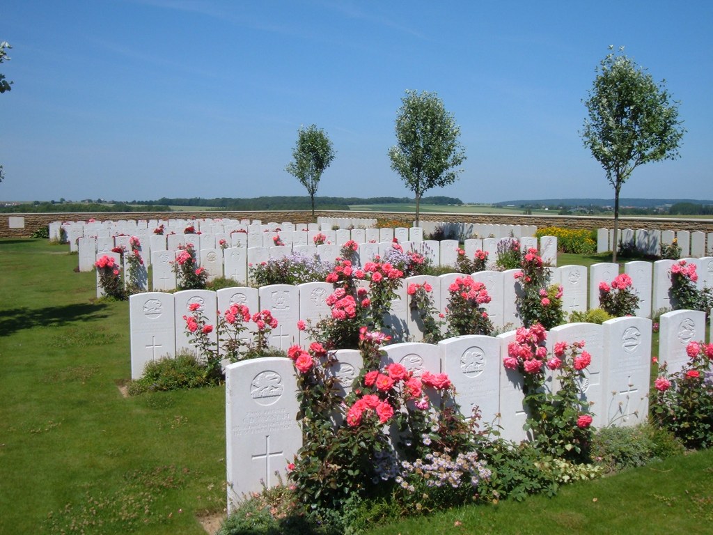
There are now 167, 1914-18 war casualties commemorated in this site. Of these, 17 are unidentified. All fell in September-October, 1918. There are also 59 German burials here, 40 of which are unidentified.
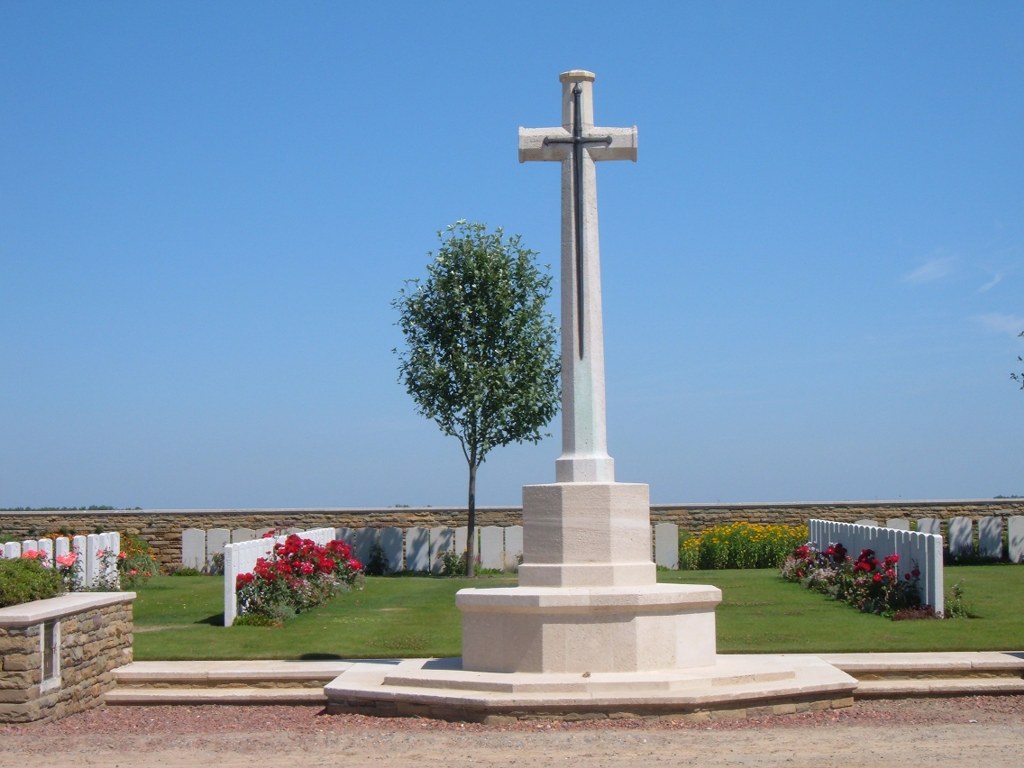
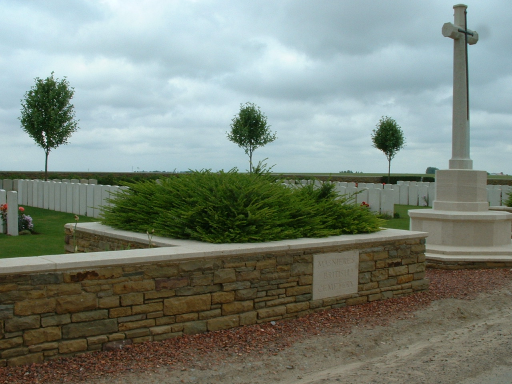
Masnieres British Cemetery covers an area of 995 square metres and is enclosed by a stone rubble wall.
On the main road, East of Masnieres British Cemetery, is the Masnieres Newfoundland Memorial, recalling the share of the Royal Newfoundland Regiment (then part of the 29th Division) in the Battle of Cambrai 1917.


