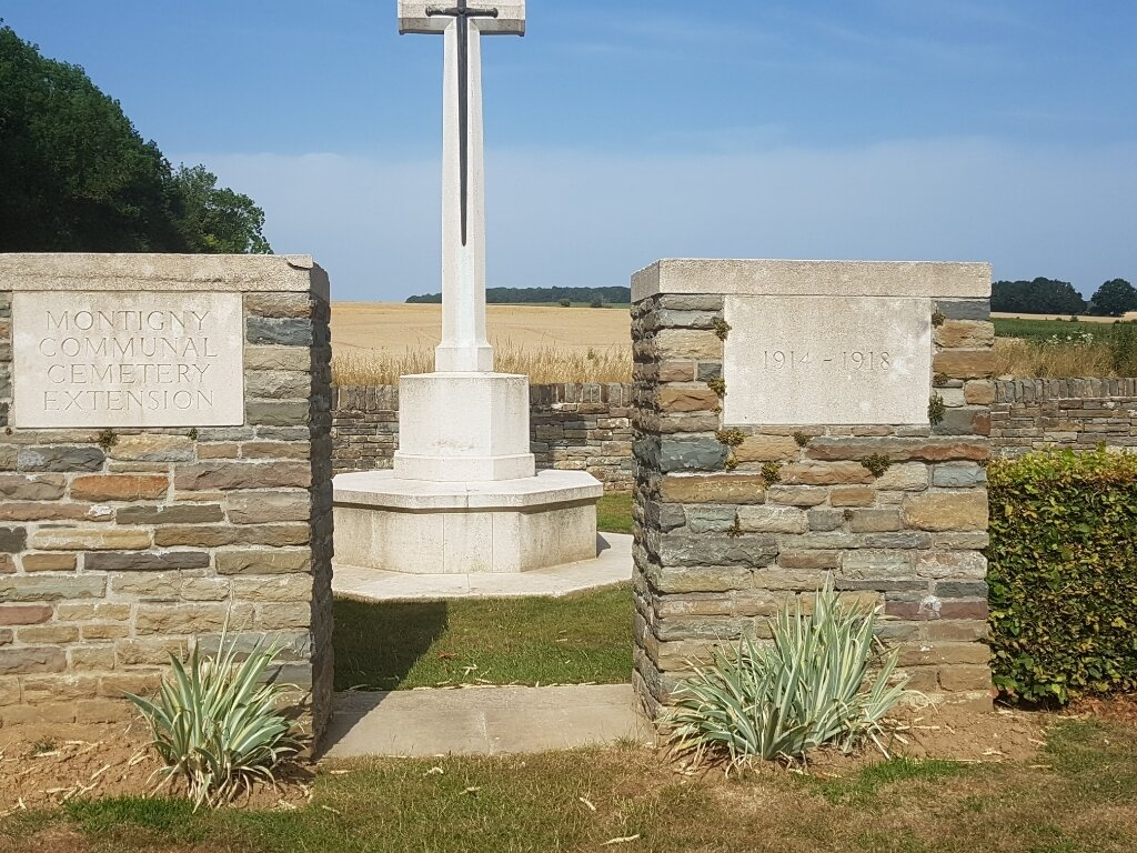
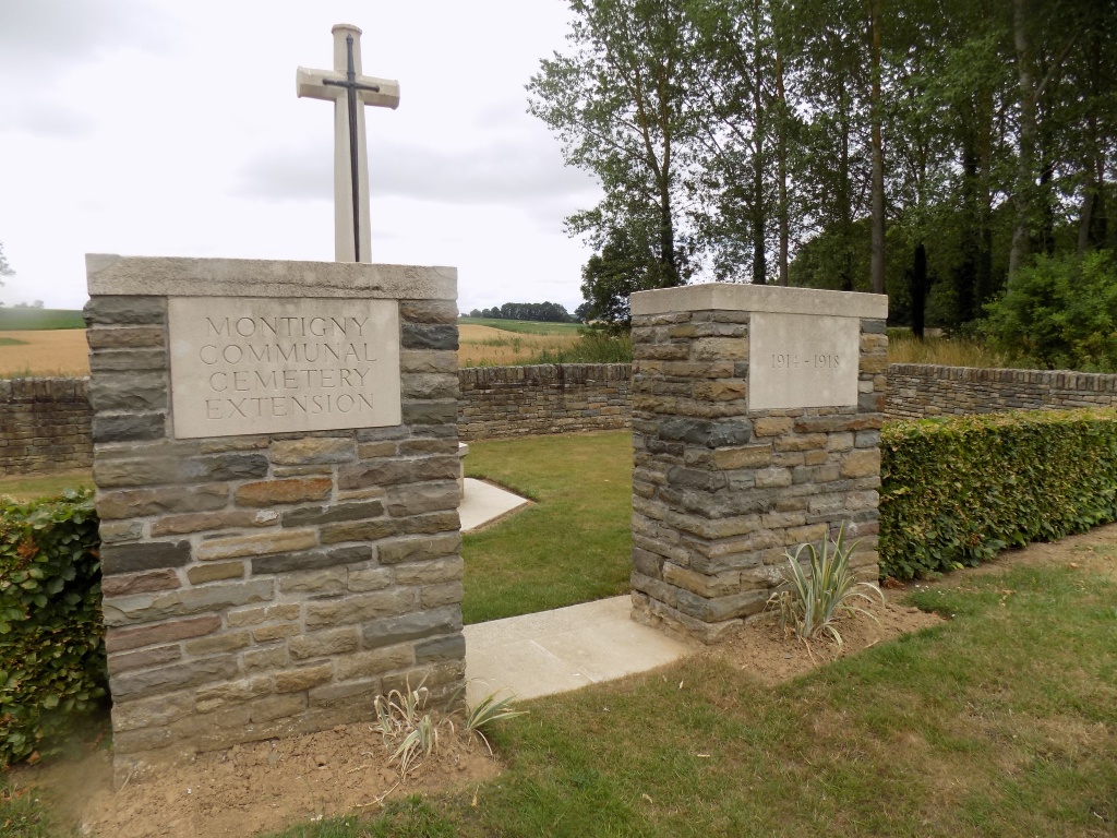
Montigny Communal Cemetery Extension, Somme
- Country France
- Total identified casualties 23 Find these casualties
- Region Somme
- Identified casualties from First World War
- GPS Coordinates Latitude: 49.97796, Longitude: 2.43808
Location information
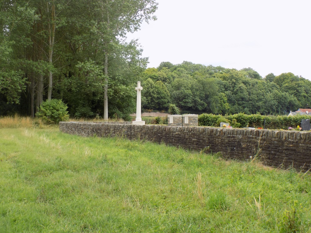
Montigny (or Montigny-sur-I'Hallue) is a village in the Department of the Somme. The village will be found on the D919 Amiens (15 kilometres) to Contay (3.5 kilometres) road, then the D78 to Montigny (1 kilometre). Continue for a further 100 metres along the Rue de La Brassierie and then turn left, the cemetery is 100 metres further on. The Extension is on the west side of the Communal Cemetery.
Visiting information
Wheelchair access with some difficulty.
For further information regarding wheelchair access, please contact our enquiries dept. on 01628 634221.
History information
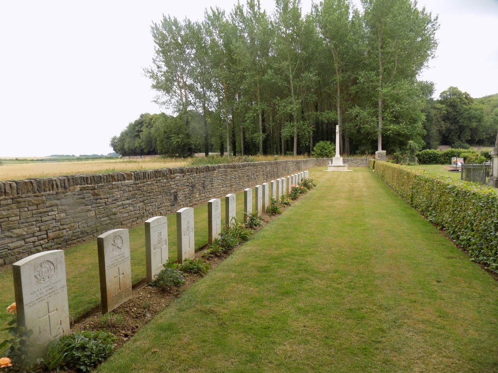
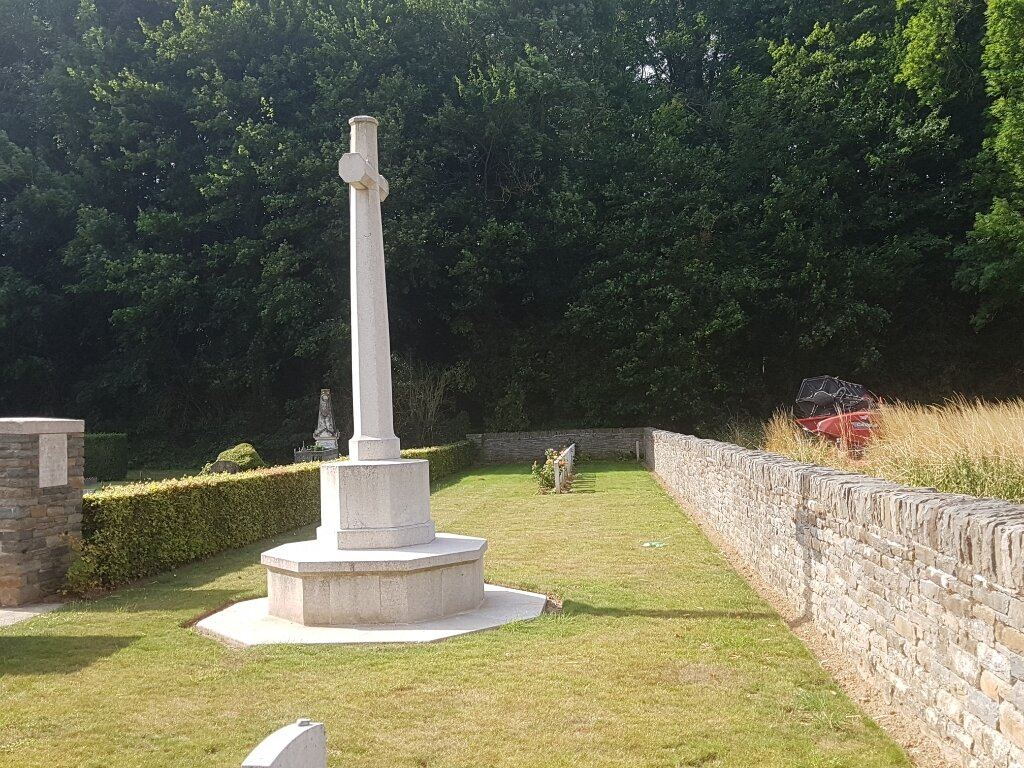
Montigny Communal Cemetery Extension contains 19 Commonwealth burials of the First World War and three German war graves.