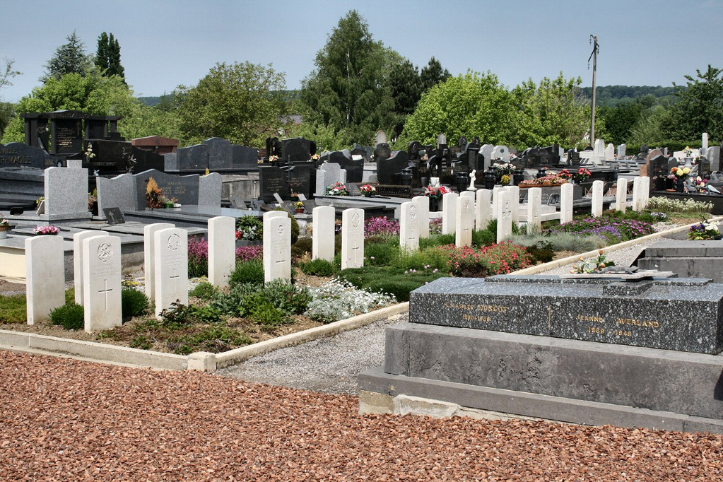
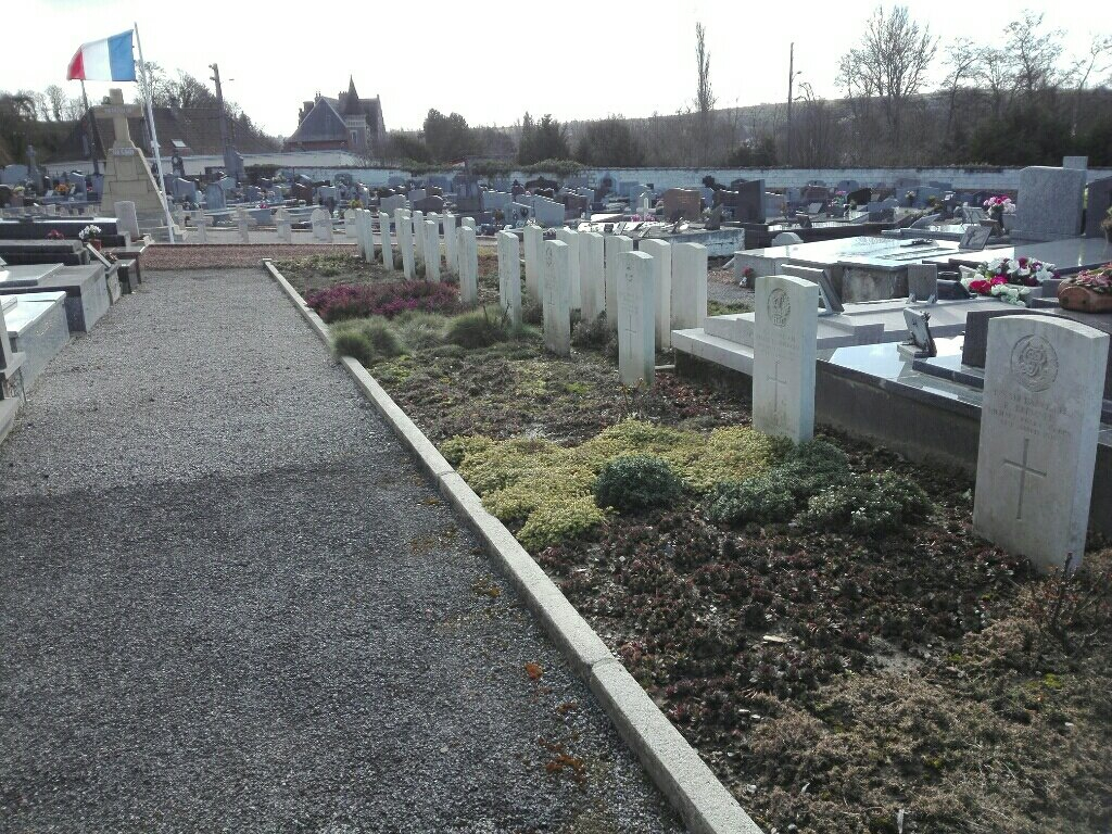
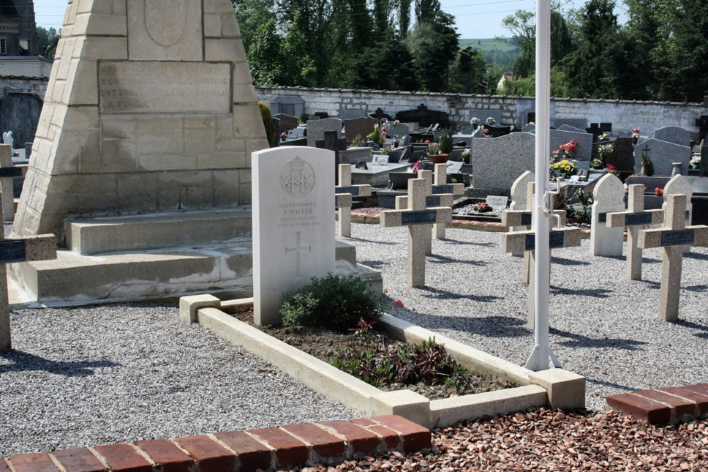
Hesdin Communal Cemetery
- Country France
- Total identified casualties 24 Find these casualties
- Region Pas de Calais
- Identified casualties from First & Second World War
- GPS Coordinates Latitude: 50.37399, Longitude: 2.05099
Location information
Hesdin is a small town at the junction of the Rivers Canche and Turnoise. It is 54 kilometres west-north-west of Arras on the road to St. Pol and Boulogne, the N39. The Communal Cemetery is on the south-eastern outskirts of Hesdin, and is actually in the adjoining commune of Marconne next to the Marconne churchyard.
History information
In 1916 Hesdin became General Headquarters (2nd Echelon); the 47th Casualty Clearing Station was placed near the town in July-November, 1916, and the 59th in April, 1917-August, 1918. The British burials were carried out mainly by two hospitals, by G.H.Q. Troops, or by units posted in the neighbourhood.
There are now 14 First World War and 12 Second World War burials at this site.