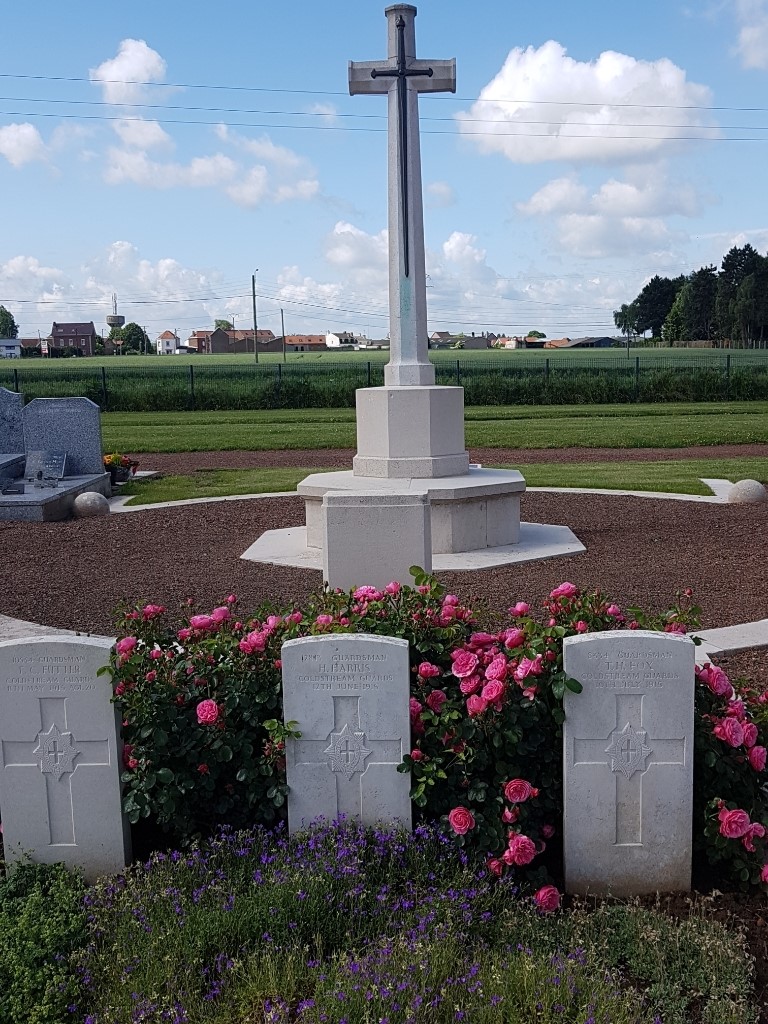
Cuinchy Communal Cemetery
- Country France
- Total identified casualties 109 Find these casualties
- Region Pas de Calais
- Identified casualties from First & Second World War
- GPS Coordinates Latitude: 50.51616, Longitude: 2.75497


Location information
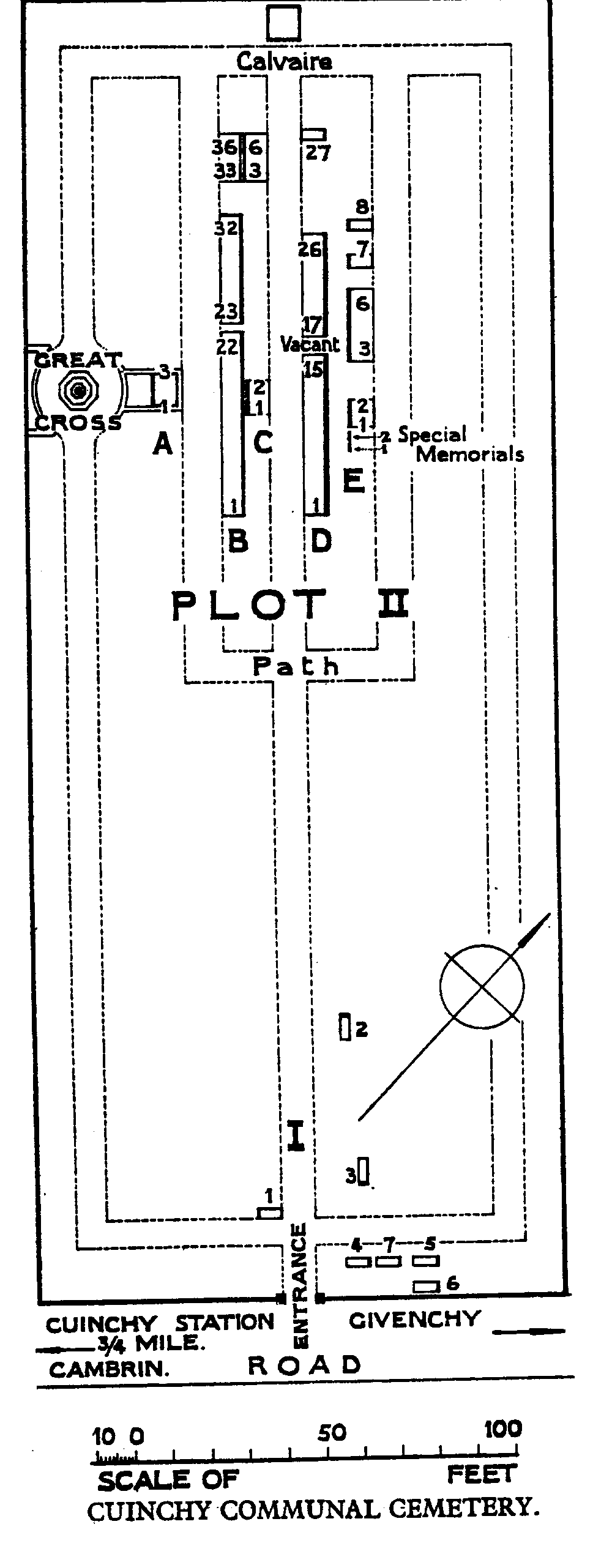
Cuinchy is a village situated 10 kilometres east of Bethune. The cemetery is situated in the civil cemetery about one kilometre from the railway station. Cuinchy is a village situated 10 kilometres east of Bethune. The cemetery is situated in the civil cemetery about one kilometre from the railway station. From Bethune follow the D941 through Cambrin and then turn left along “Rue Emile Basly” for approximately 500 metres.
History information
Cuinchy remained during almost the whole of the War within range of German guns, and the cemeteries in the Commune were made, so far as British troops are concerned, by fighting units and Field Ambulances. There are now over 100, 1914-18 and a small number of 1939-45 war casualties commemorated in this site. Two graves from the 1914-18 War, destroyed by shell fire, are represented by special memorials. The British plots cover an area of 314 square metres.