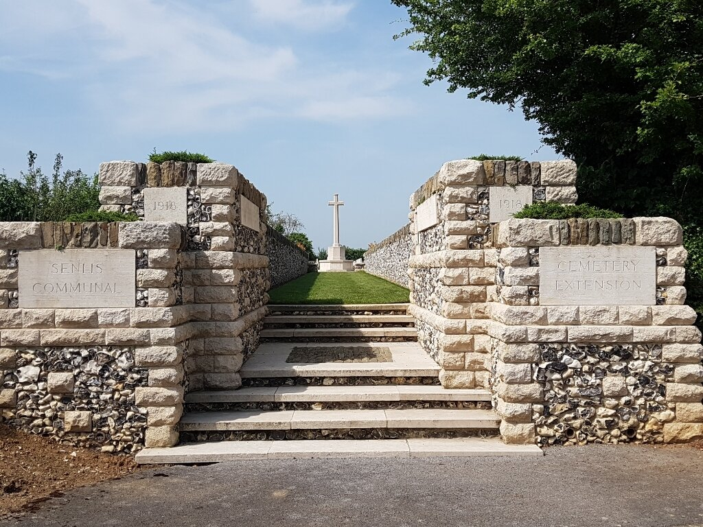
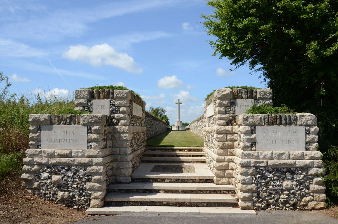
Senlis Communal Cemetery Extension
- Country France
- Total identified casualties 97 Find these casualties
- Region Somme
- Identified casualties from First World War
- GPS Coordinates Latitude: 50.02862, Longitude: 2.57368
Location information
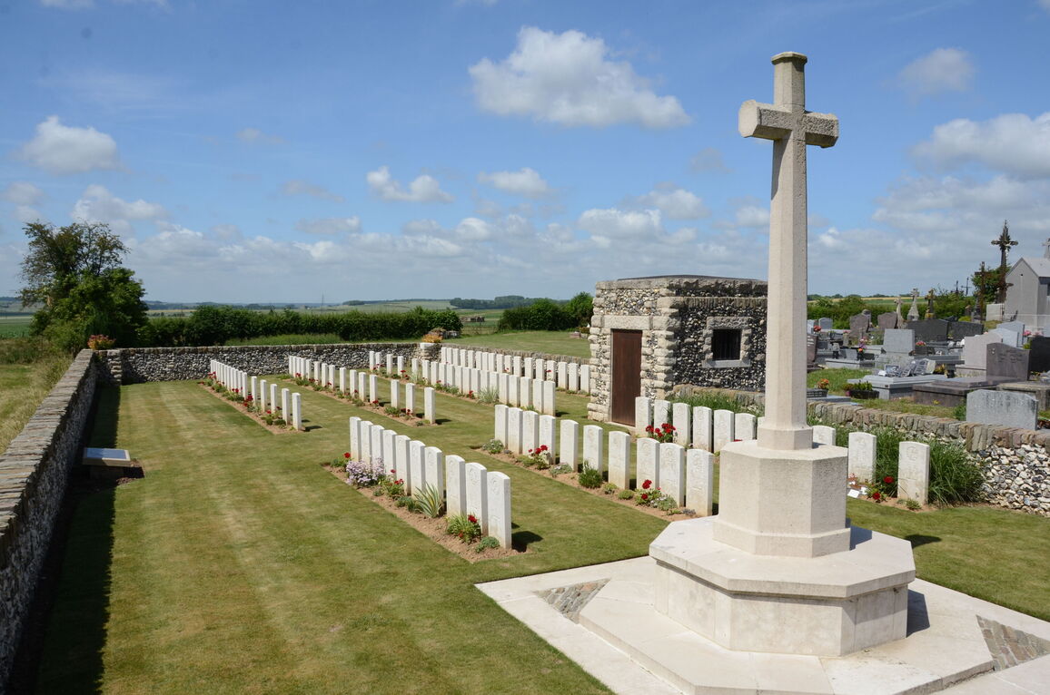
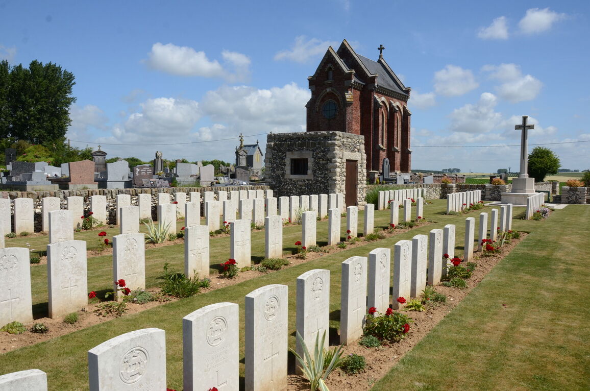
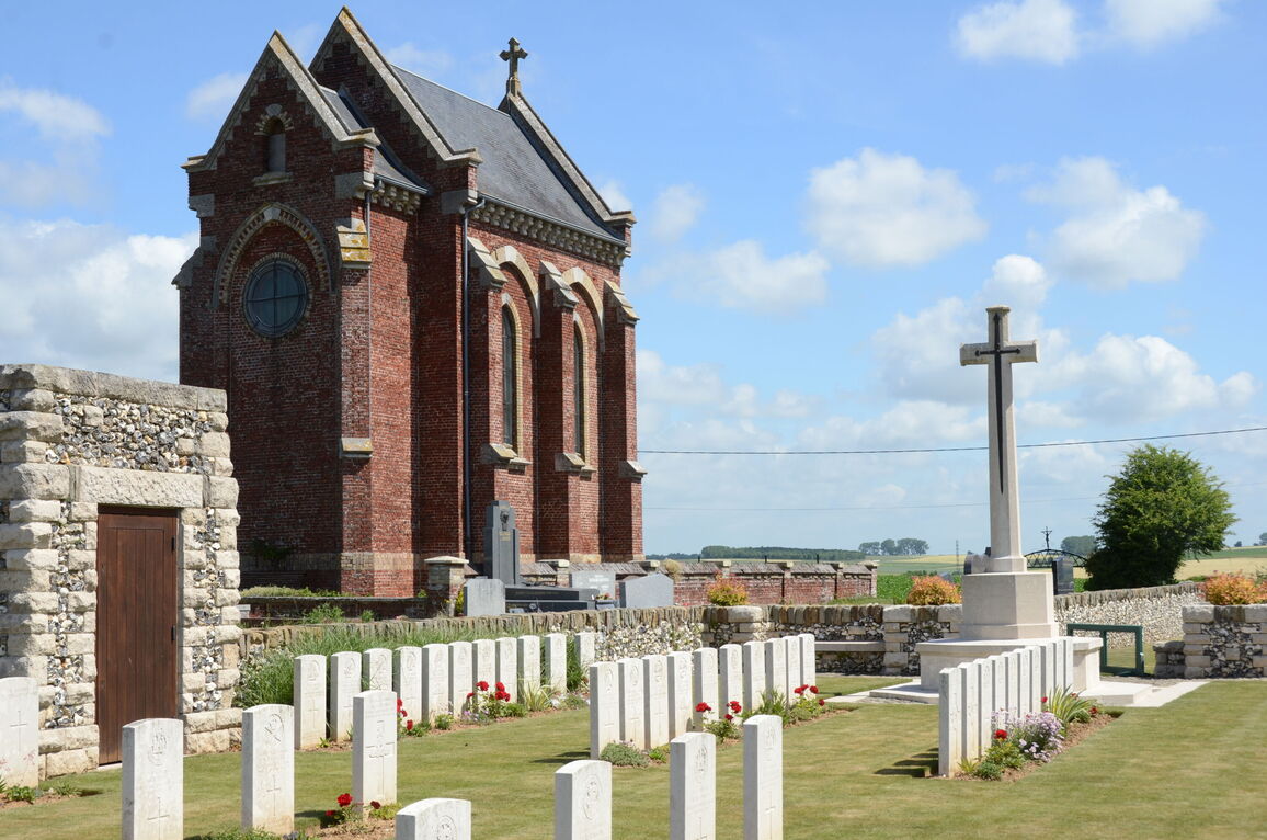
Senlis-le-Sec is a village approximately 5 kilometres north-west of Albert. The Communal Cemetery is on the north-west side of the village, on a minor road which links the village with the Warloy-Baillon-Hedauville road. The Extension is on the south-east side the Communal Cemetery.
Visiting information
The location or design of this site makes wheelchair access impossible.
History information
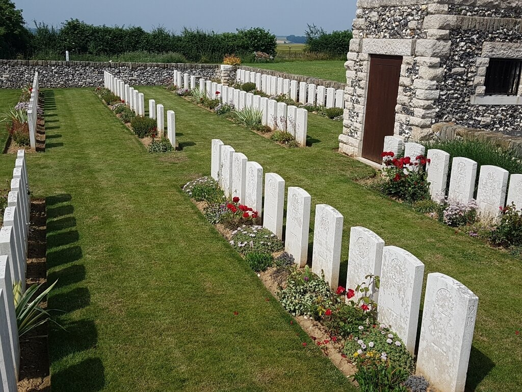
The extension to the communal cemetery was begun in April 1918, after the fall of Albert, by the 12th (Eastern) and 38th (Welsh) Divisions. It was used until the following August but was enlarged after the Armistice when graves were brought in from the battlefields of the Somme and from the communal cemetery, where 23 Commonwealth soldiers who died 5-9 April 1918 had been buried.
Senlis Communal Cemetery Extension now contains 104 First World War burials.
The extension was designed by W H Cowlishaw.


