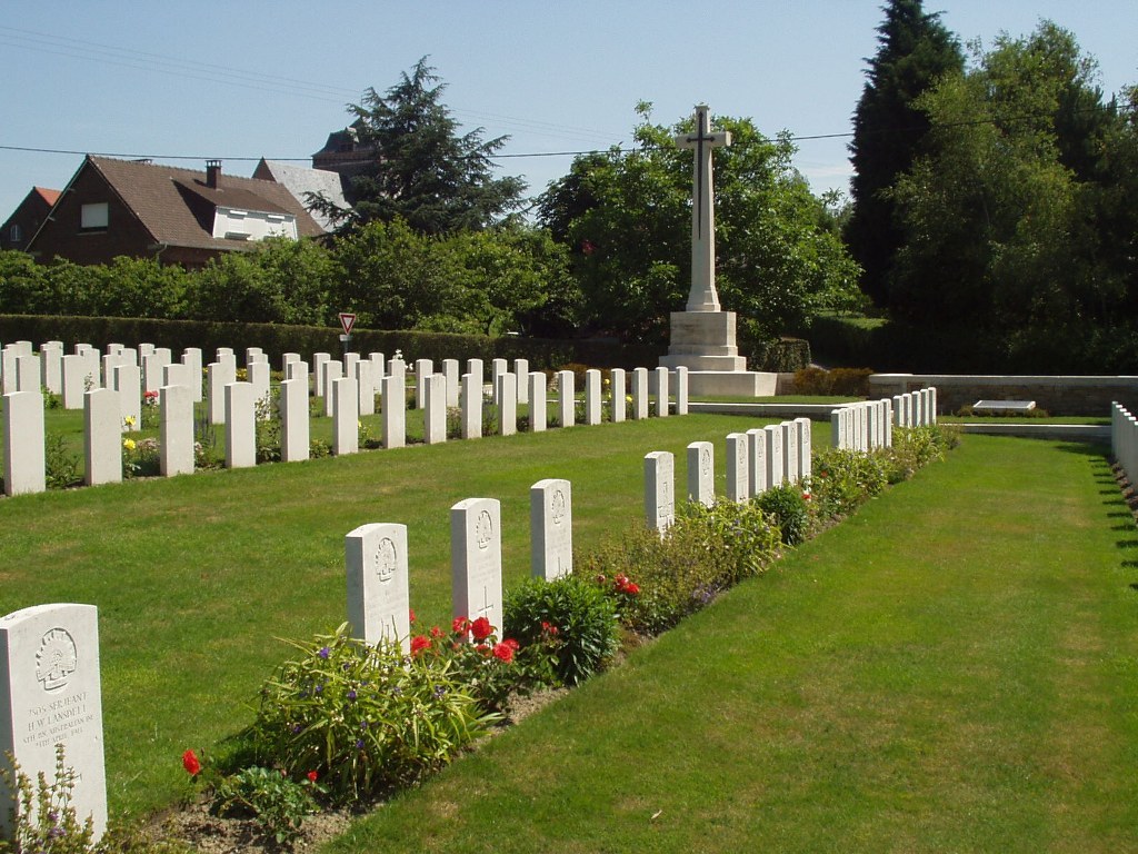
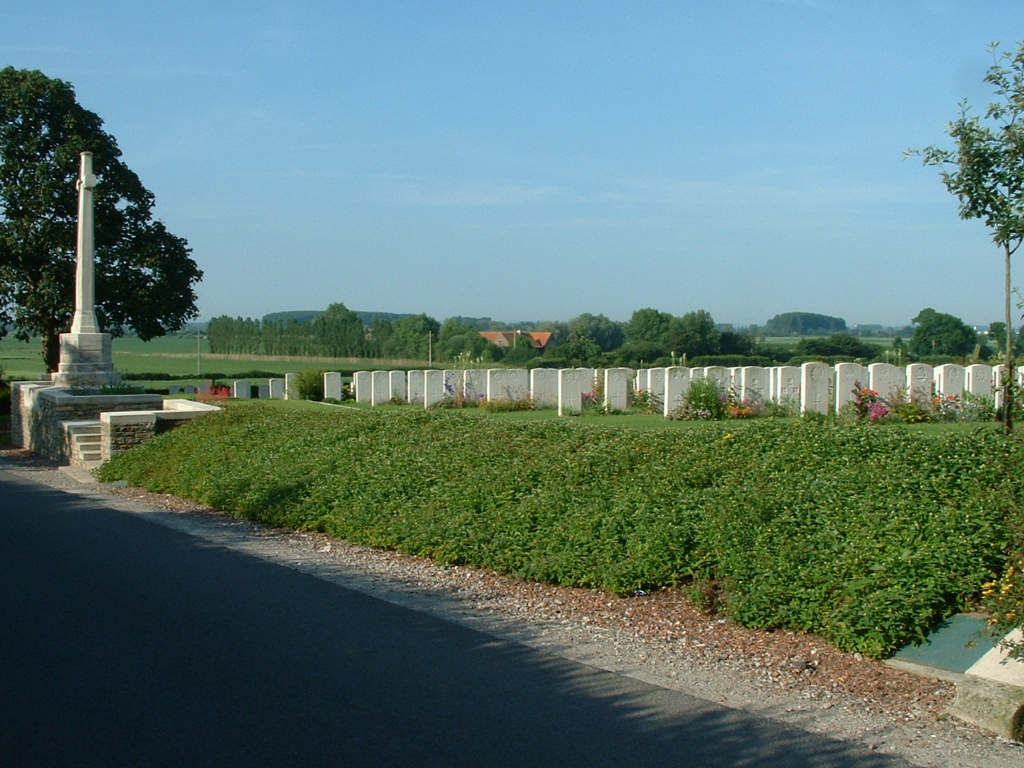
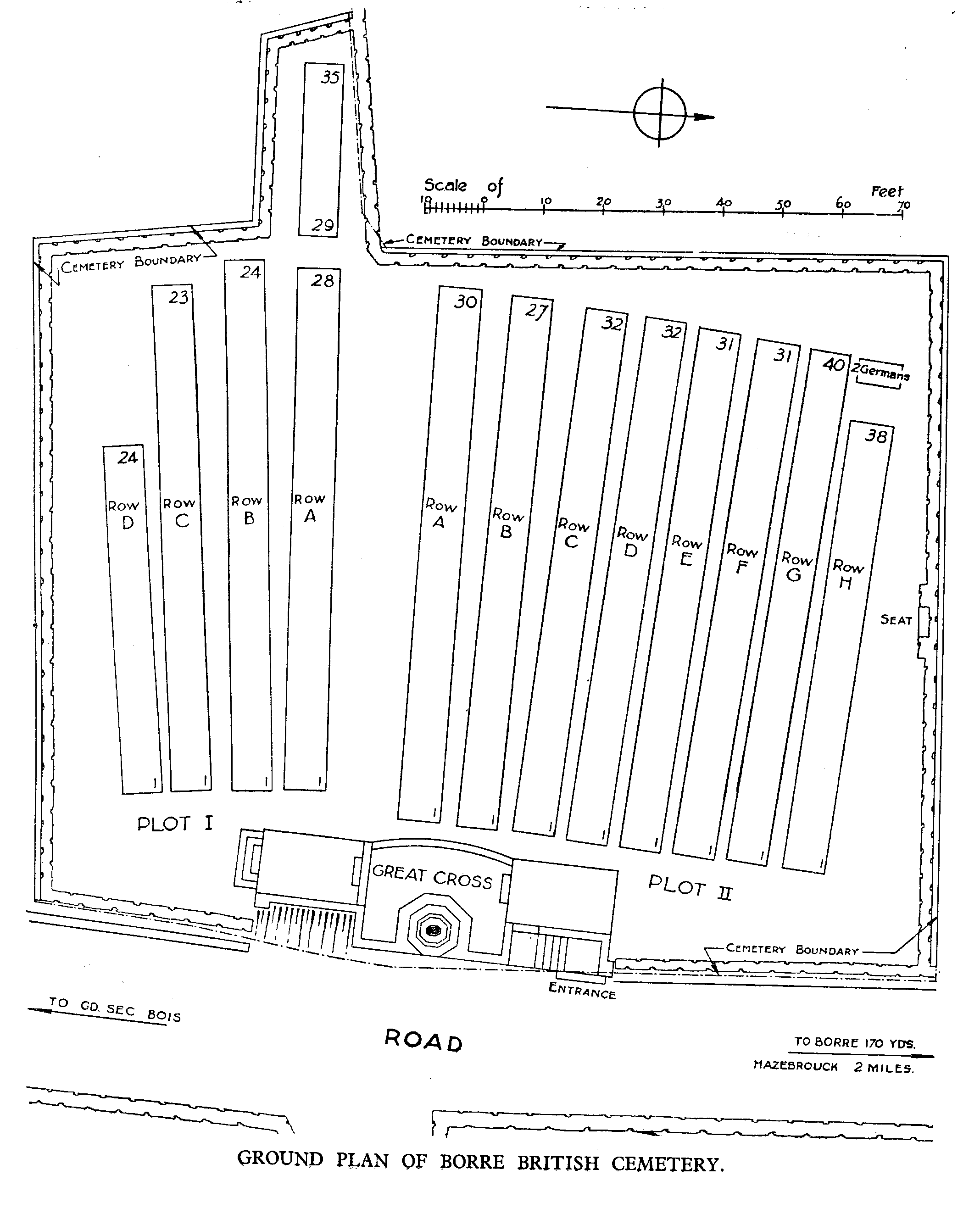
Borre British Cemetery
- Country France
- Total identified casualties 373 Find these casualties
- Region Nord
- Identified casualties from First & Second World War
- GPS Coordinates Latitude: 50.73005, Longitude: 2.58317
Location information
Borre is a village 3 kilometres east of Hazebrouck on the D642. On reaching the village, turn right just before the church on the road signposted Sec Bois. The cemetery is 120 metres from the junction on the right hand side.
Visiting information
Wheelchair access to the lower parts of the site is possible by an alternative entrance.
For further information regarding wheelchair access, please contact our enquiries dept. on 01628 634221.
History information
The cemetery was used from May to September 1918 by field ambulances and fighting Units, particularly those of the 1st Australian Division, during the interval between the German and Allied offensives of that year. The cemetery now contains 367 Commonwealth burials of the First World War and three German war graves. There are also five burials of the Second World War. The cemetery was designed by Sir Herbert Baker.