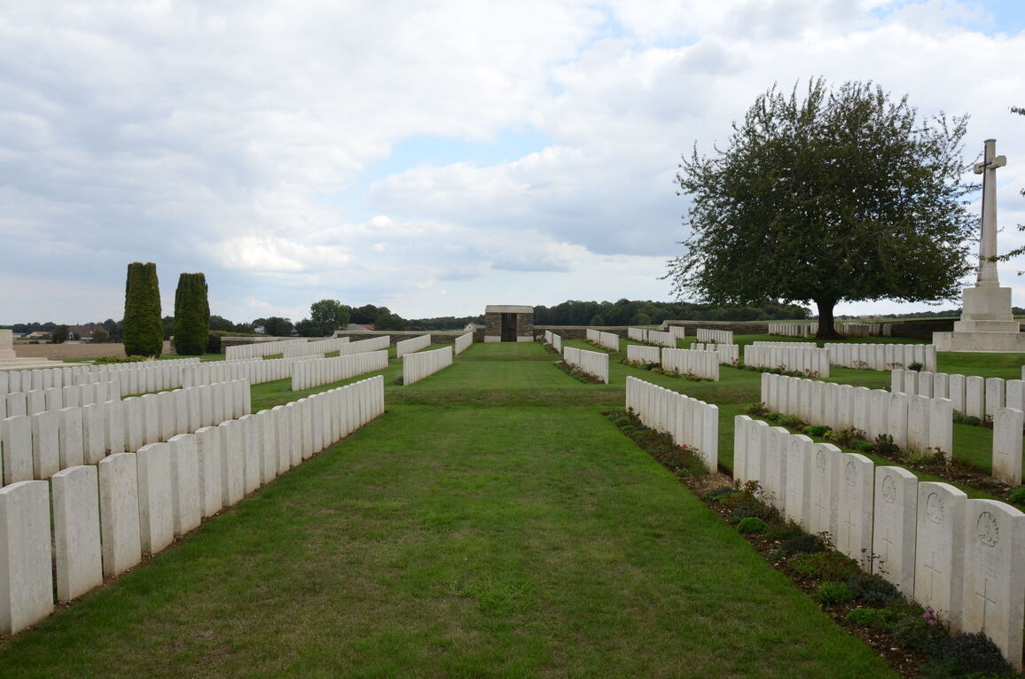
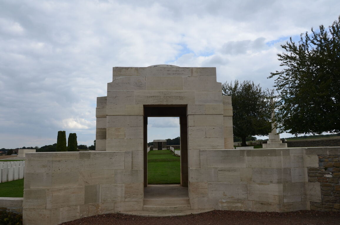
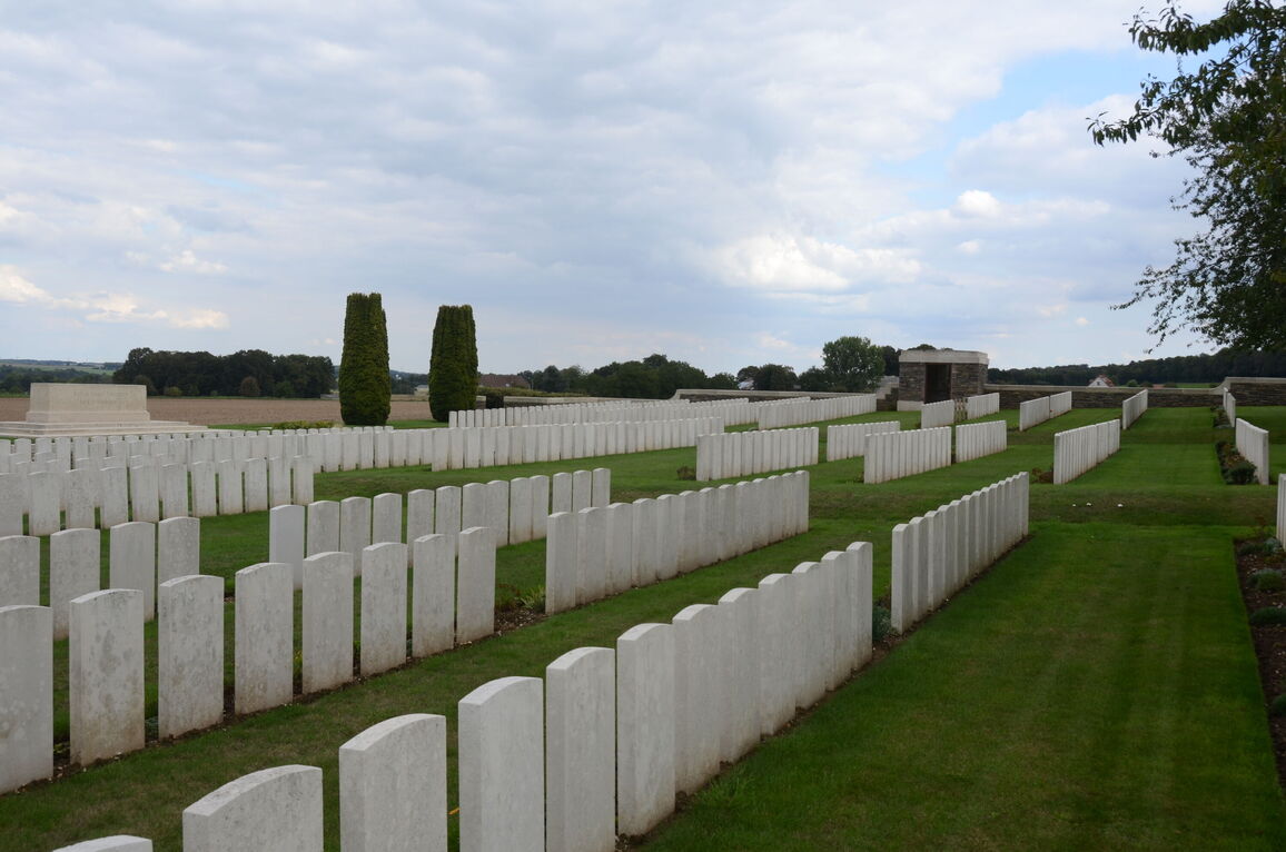
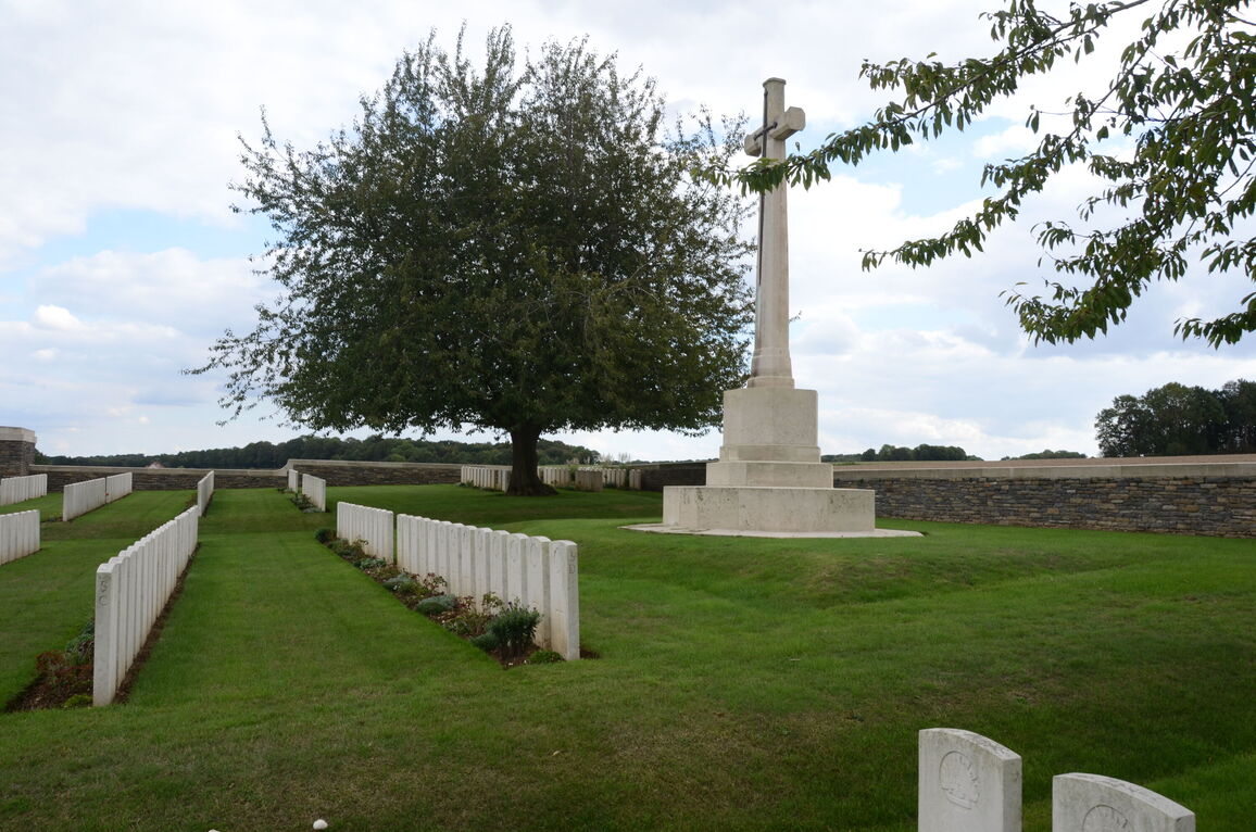
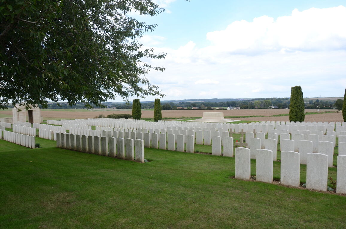
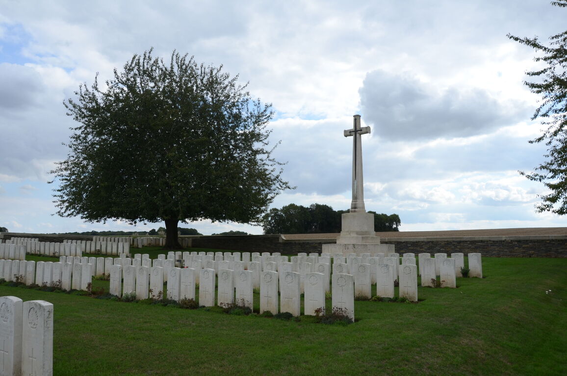
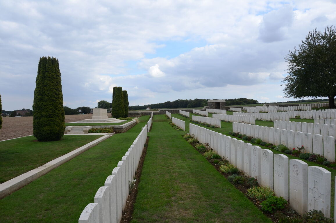
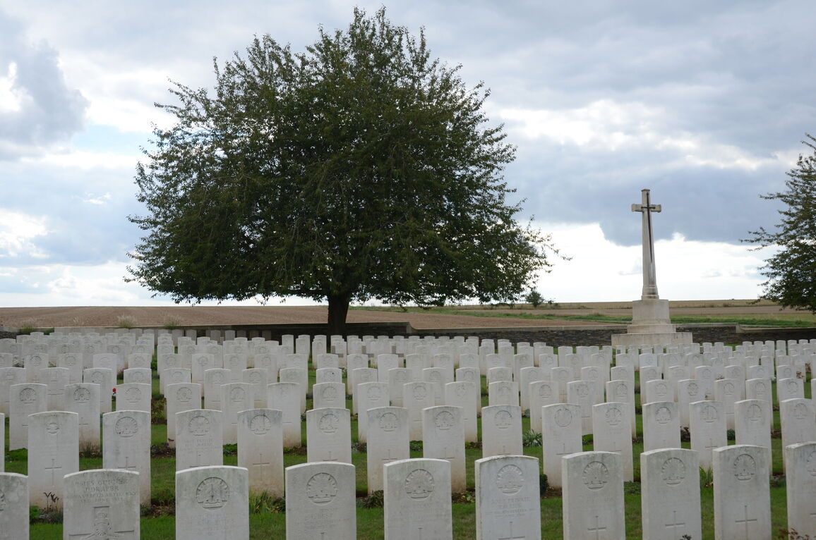
Crouy British Cemetery, Crouy-Sur-Somme
- Country France
- Total identified casualties 783 Find these casualties
- Region Somme
- Identified casualties from First World War
- GPS Coordinates Latitude: 49.96188, Longitude: 2.08345
Location information
Crouy is a village about 16 kilometres north-west of Amiens on the west side of the River Somme, on the Amiens-Abbeville main road. The British Cemetery is a little south of the village on the west side of the road to Cavillon and there is a Commonwealth War Graves Commission signpost on the main road.
Visiting information
Wheelchair access is possible with some difficulty. For further information regarding wheelchair access, please contact our enquiries department on telephone number 01628 634221.
History information
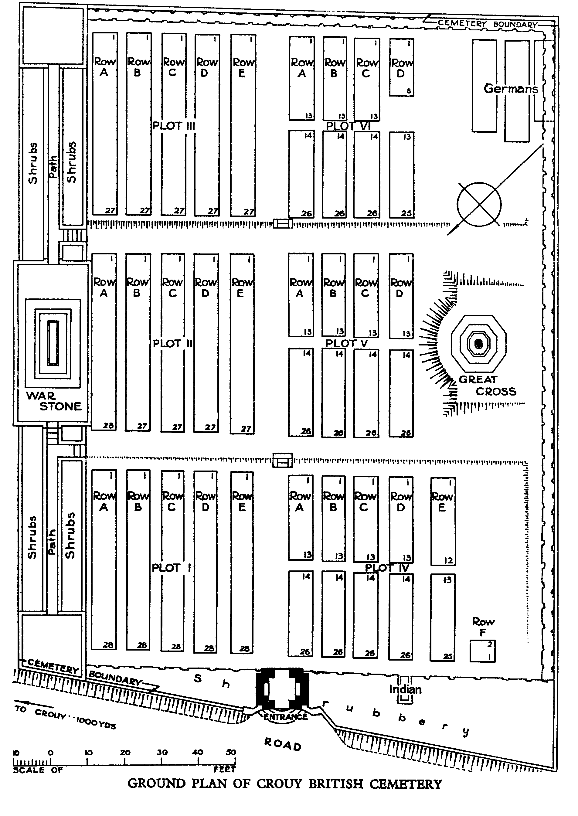
The cemetery was used between April and August 1918 for burials from the 5th and 47th Casualty Clearing Stations, which had come to the village because of the German advance. In October 1919, 42 graves were brought to Crouy from the small military cemetery at Riviere, a few kilometres away to the north-west. These burials had been made from the 12th, 53rd and 55th Casualty Clearing Stations at Longpre-les-Corps Saints between May and August 1918. They now occupy rows E and F of plot IV and part of row D, plot VI. The cemetery now contains 739 Commonwealth burials of the First World War, and a number of French and German war graves. The cemetery was designed by Sir Reginald Blomfield.