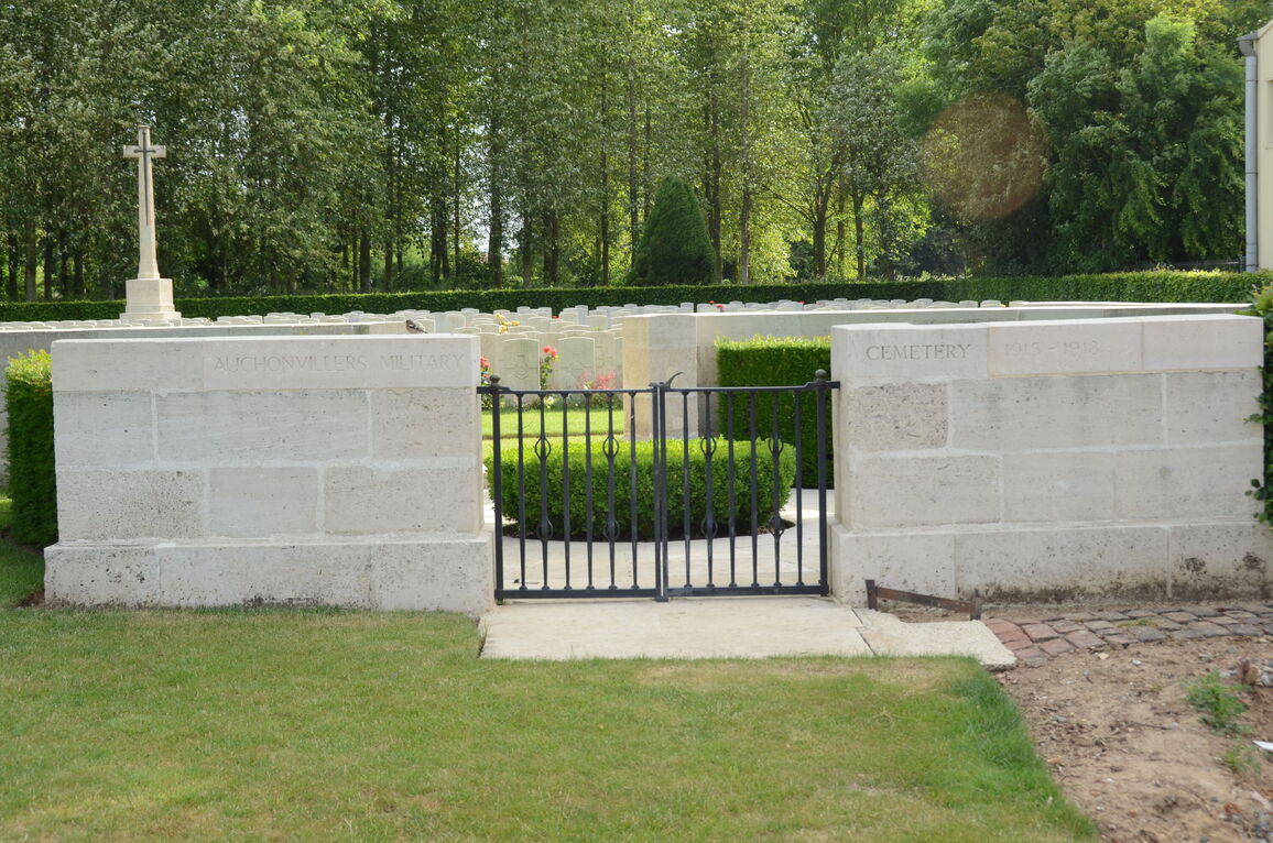
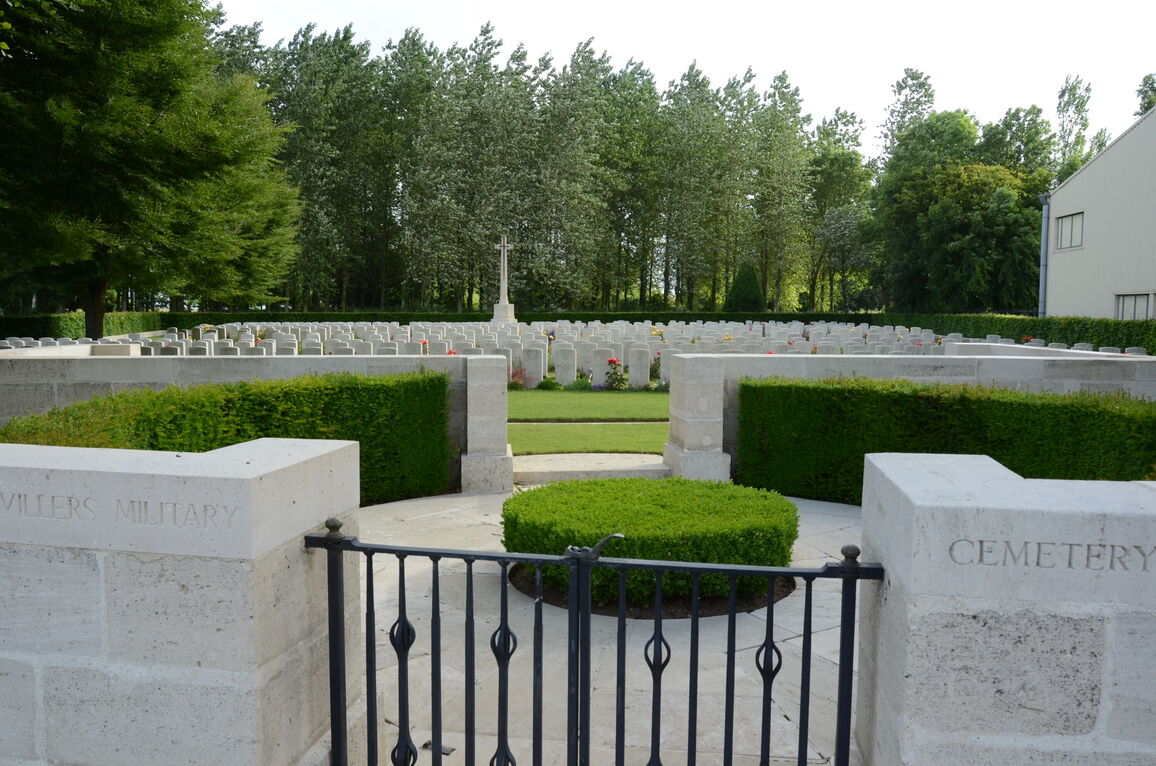
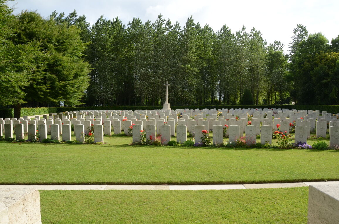
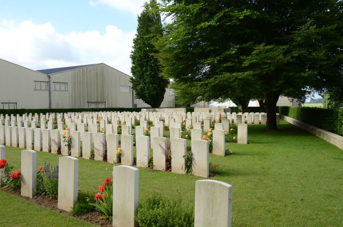
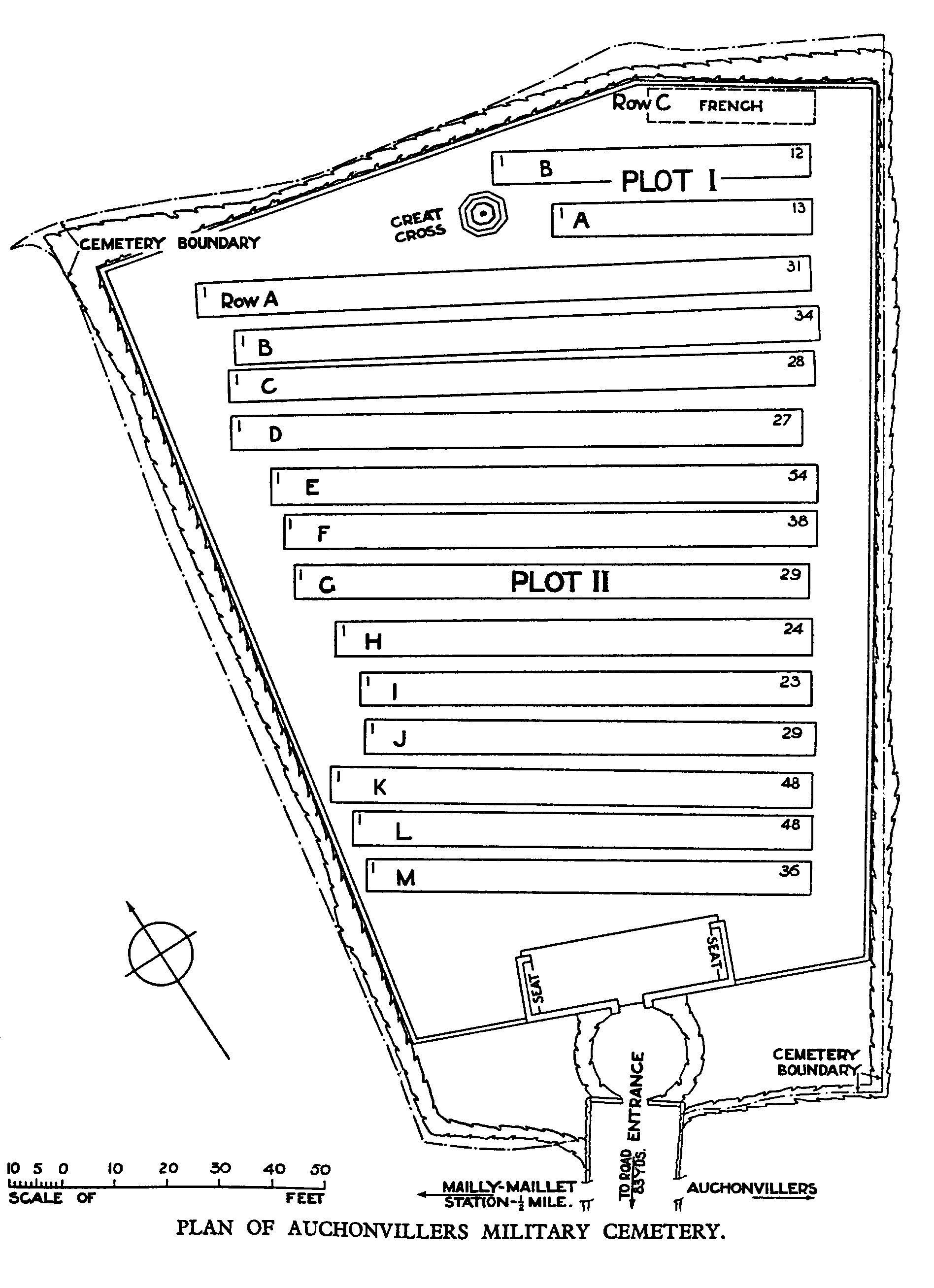
Auchonvillers Military Cemetery
- Country France
- Total identified casualties 487 Find these casualties
- Region Somme
- Identified casualties from First World War
- GPS Coordinates Latitude: 50.08059, Longitude: 2.62674
Please note
We are aware that access to this site may be difficult. Please accept our apologies for the inconvenience. We are currently discussing improvements with the neighbour.
Location information
Auchonvillers is approximately 20 Kms south of Arras. Using the D919 from Arras to Amiens you will drive through the villages of Bucquoy, Puisieux then Serre-les-Puisieux. On leaving Serre-les-Puisieux, 3 Kms further along the D919, turn left following the signs for Auchonvillers. At the crossroads in the village centre follow the CWGC signs for Auchonvillers Military Cemetery which is on the outskirts of the village on the right hand side.
Visiting information
Wheelchair access with some difficulty. For further information regarding wheelchair access, please contact our enquiries department on telephone number 01628 634221.
History information
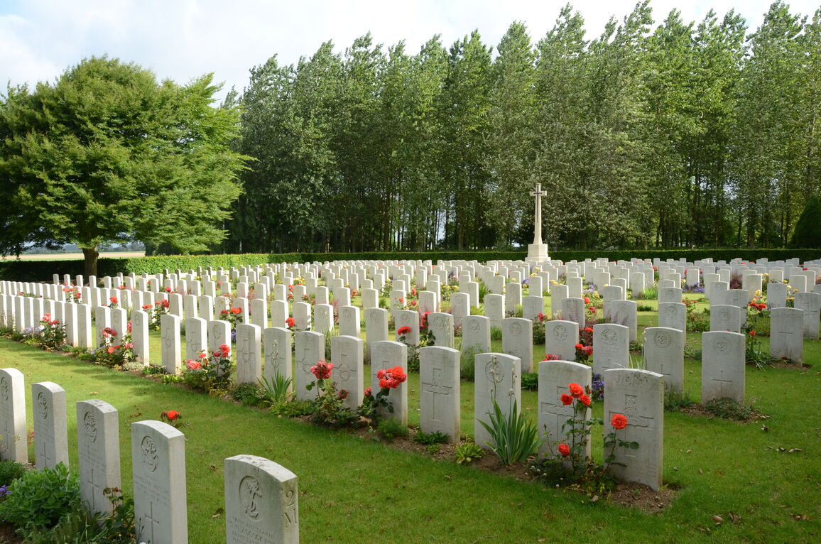
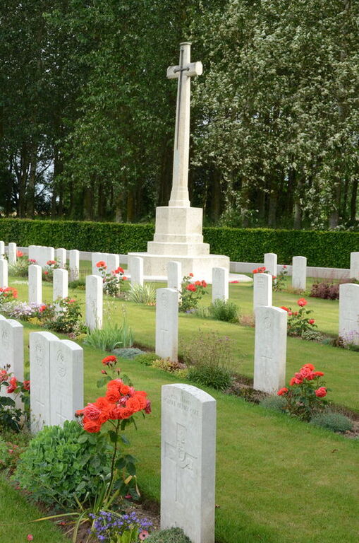
From the outbreak of the war to the summer of 1915, this part of the front was held by French troops, who began the military cemetery in June 1915. It continued to be used by Commonwealth field ambulances and fighting units, but burials practically ceased with the German withdrawal in February 1917. After the Armistice, 15 of the graves (Plot II, Row M, Graves 4-18) were brought in from scattered positions east of the cemetery. The cemetery now contains 528 Commonwealth burials of the First World War, the French graves having been removed to other burial grounds. The cemetery was designed by Sir Reginald Blomfield.