Mantova Town Cemetery
- Country Italy
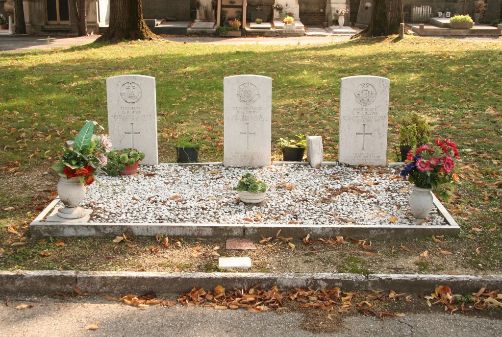
- Total identified casualties 3 Find these casualties
- Identified casualties from First World War
- GPS Coordinates Latitude: 45.15518, Longitude: 10.75806
Location information
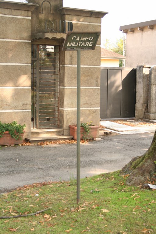
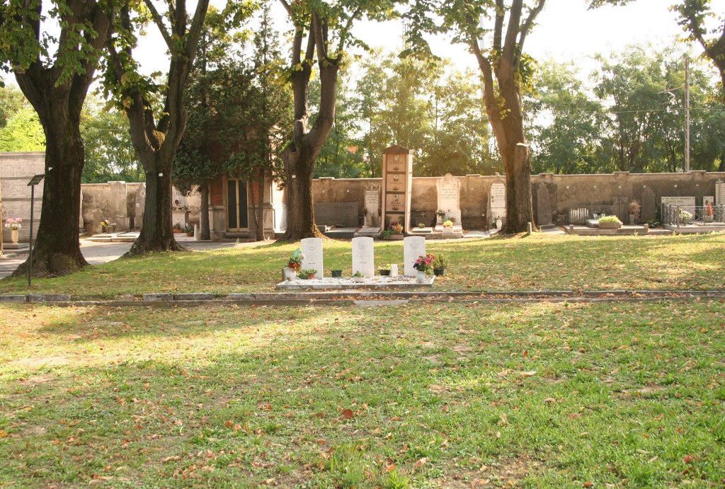
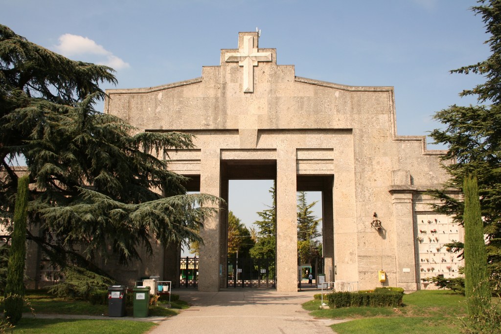
The cemetery is located to the west of the city on the SS10, called Via Cremona. The entrance to the large Civilian Cemetery is found near the Piazzale Vittime dei Lager Nazisti. The three Commonwealth war graves are situated in the Campo Militare, which from the entrance is in the far left hand corner near to the outside wall. Cemetery Address: Via Cremona, 40/B - 46100 (località Borgo Angeli) Mantova (MN). GPS Co-ordinates: 45.155502, 10.764585.
Visiting information
OPENING TIMES OF THE CEMETERY ARE:
1st June to 30th September: 7:30am - 7:00pm
1st October to 31st May: 8:00am - 5:00pm
For further information and enquiries please contact enquiries@cwgc.org
History information
The Italians entered the war on the Allied side, declaring war on Austria, in May 1915. Commonwealth forces were at the Italian front between November 1917 and November 1918, and rest camps and medical units were established at various locations in northern Italy behind the front, some of them remaining until 1919. From the Summer of 1917 until late 1918, the Mediterranean lines of communication for the British Salonika Force ran the length of Italy from Taranto in the south-east, to Turin in the north-west. Mantova Town Cemetery contains three Commonwealth burials of the First World War.