Altivole Communal Cemetery
- Country Italy
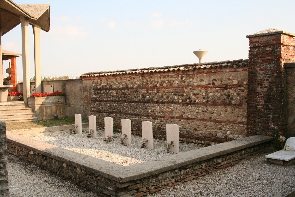
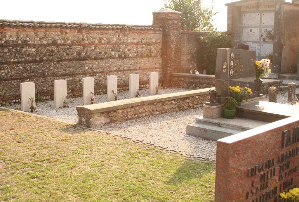
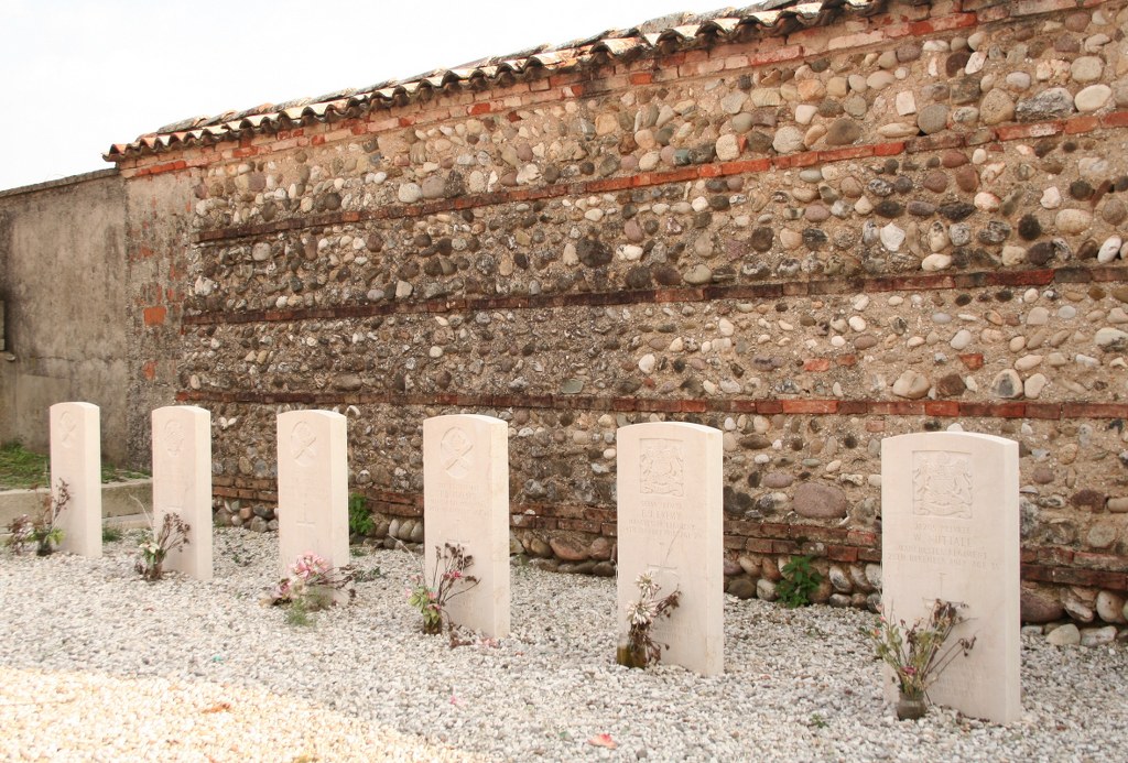
- Total identified casualties 6 Find these casualties
- Identified casualties from First World War
- GPS Coordinates Latitude: 45.7529, Longitude: 11.95099
Location information
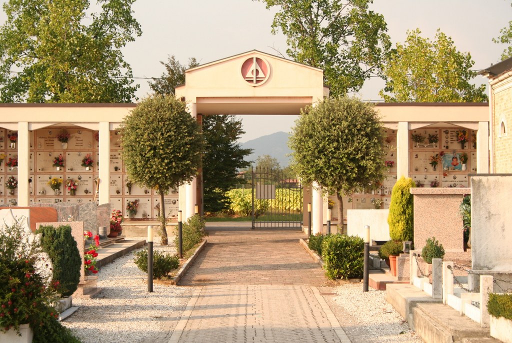
The Communal Cemetery is 24 kilometres North-West of Treviso. Cemetery Address: Via De Gasperi - 31030 Altivole (TV) GPS Co-ordinates: 45.752987, 11.951151
Visiting information
For further information and enquiries please contact enquiries@cwgc.org
History information
The Italians entered the war on the Allied side, declaring war on Austria, in May 1915. Commonwealth forces were at the Italian front between November 1917 and November 1918, and rest camps and medical units were established at various locations in northern Italy behind the front, some of them remaining until 1919. Altivole Communal Cemetery was used by divisional burial officers in December 1917 and January 1918. It now contains six Commonwealth burials of the First World War.