Varennes Military Cemetery
- Country France
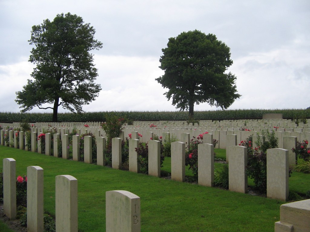
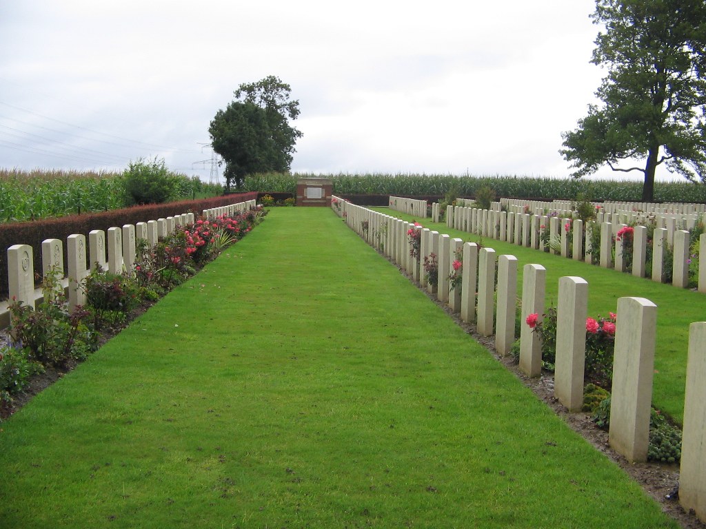
- Total identified casualties 1219 Find these casualties
- Region Somme
- Identified casualties from First World War
- GPS Coordinates Latitude: 50.0545, Longitude: 2.52615
Location information
Varennes is a village 11 kilometres from Albert and 18 kilometres from Amiens. Take the D938 from Albert to Doullens. In Hedauville turn left on the D47E towards Varennes. 2 kilometres further on you will come to a crossroads in the village of Varennes where you should turn right. About 300 metres further, turn left following the CWGC sign, and the Cemetery will be found about 500 metres further on the right.
Visiting information
Wheelchair access to this cemetery is possible via a 50 metre long grassed pathway, which leads from an area beside the neighbouring communal cemetery where a vehicle can be parked.
History information
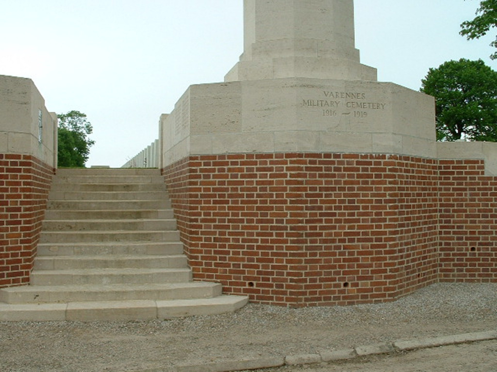
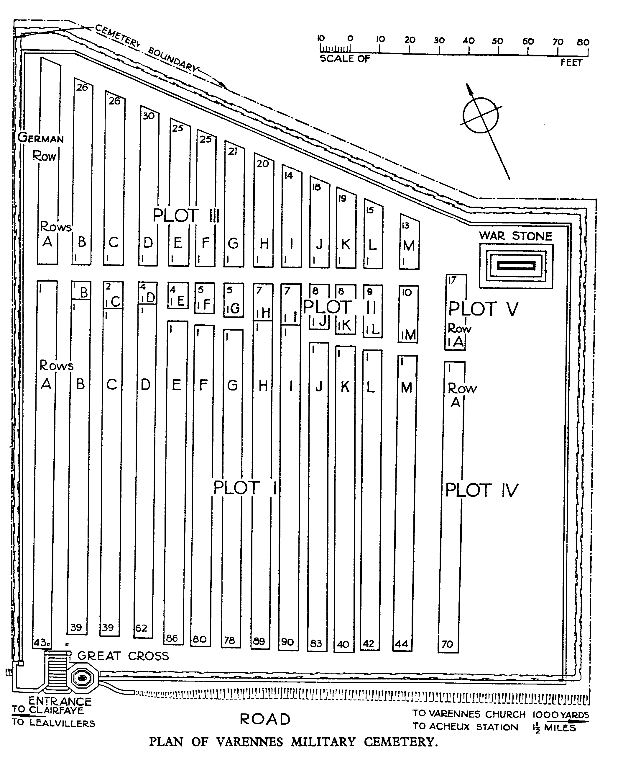
The cemetery was laid out by the 39th Casualty Clearing Station in August 1916, during the Battle of the Somme, but the first burials were made during August and September by more mobile divisional Field Ambulances. The 4th and 11th Casualty Clearing Stations then used the cemetery from October 1916, joined by the 47th from December 1916, but by May 1917 Varennes was deserted and remained so until the Germans launched their offensive in this quarter in April 1918. The cemetery was then extended by the 17th and 38th (Welsh) Divisions by the addition of plots II and III, and at the beginning of September 1918, the 3rd Canadian and 59th Casualty Clearing Stations arrived at Varennes. The cemetery contains 1,219 burials of the First World War, two of which were brought in from Varennes Communal Cemetery in 1934. The cemetery was designed by Sir Reginald Blomfield.