Dumfries (St. Andrew's) Roman Catholic Cemetery
- Country United Kingdom
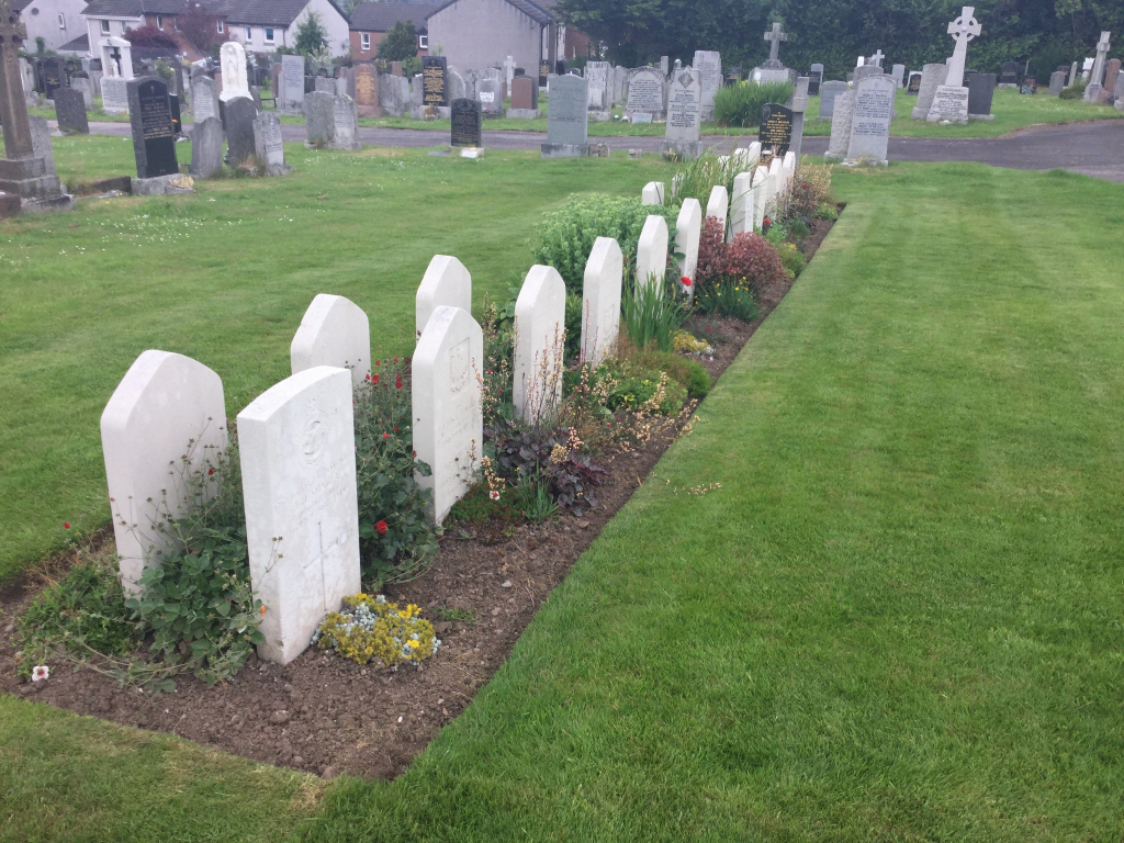
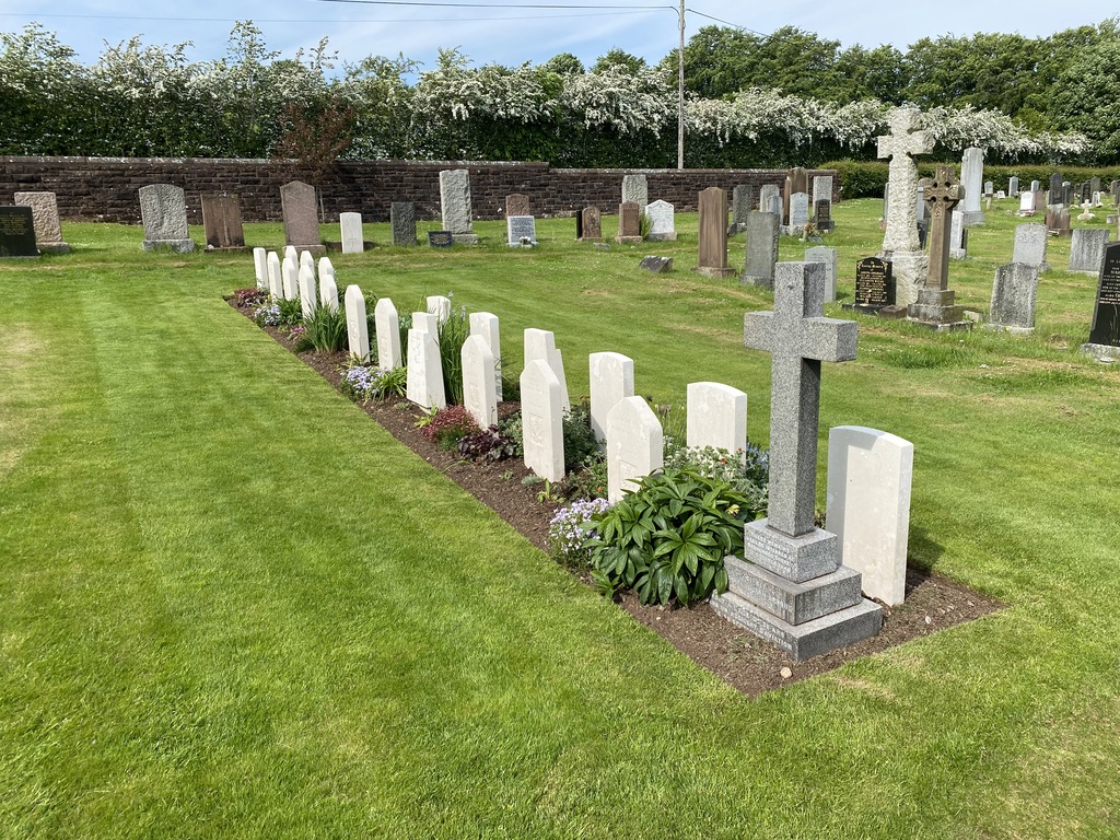
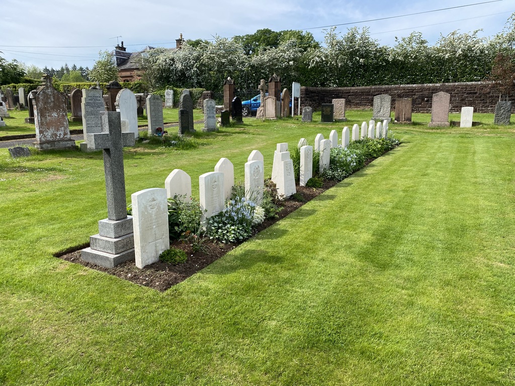
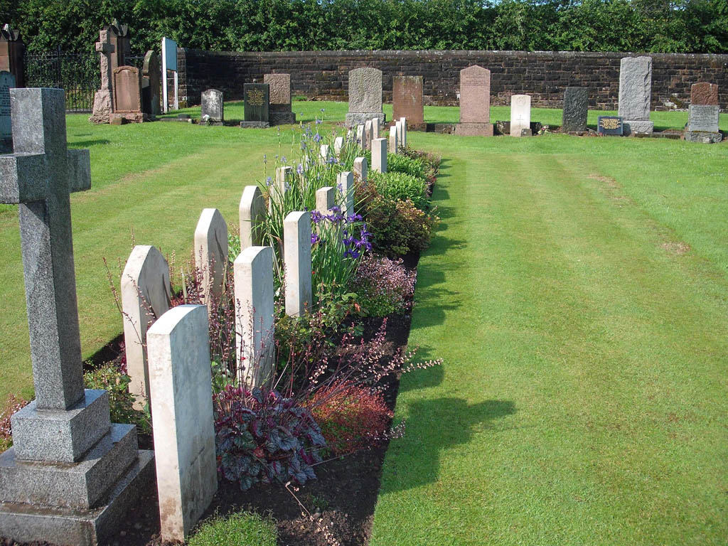
- Total identified casualties 33 Find these casualties
- Region Dumfriesshire
- Identified casualties from First & Second World War
- GPS Coordinates Latitude: 55.06091, Longitude: -3.59124
Location information
Dumfries St Andrews Cemetery is in the southern part of the town approximately 1.5 miles from the railway station. From the A756 (St Michael's Bridge Road) turn south on to the B725 (St Michael Street), then at the first roundabout take the second exit, Craigs Road. About 200 metres after passing the large St. Michael's Cemetery, Craig's Road splits off to the right. Take this right turn and follow this narrow road for about another 100 metres. St. Andrew's Cemetery will then appear on the left hand side of this road behind a hedge and wall.
Visiting information
The cemetery is on a narrow road so parking opportunities are limited.
History information
This cemetery contains a few scattered graves and a maintained CWGC plot which also contains Polish war graves looked after by CWGC.